Keno in Klamath County, Oregon — The American West (Northwest)
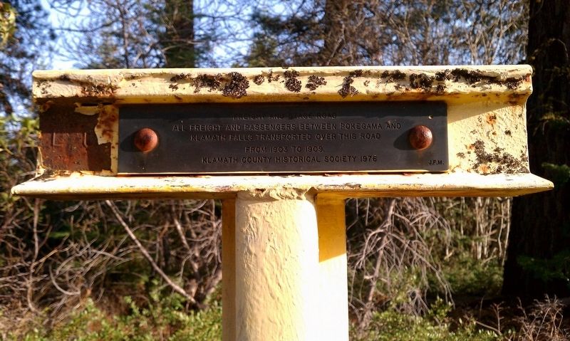
Freight and Stage Road
Klamath Falls transported over this road
from 1903 to 1909.
Erected 1976 by Klamath County Historical Society.
Topics. This historical marker is listed in this topic list: Roads & Vehicles. A significant historical year for this entry is 1903.
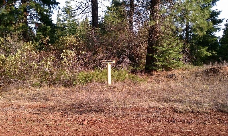
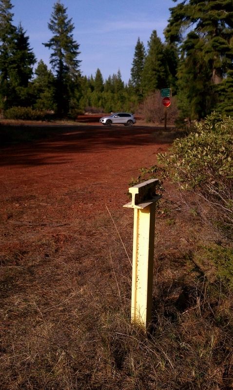
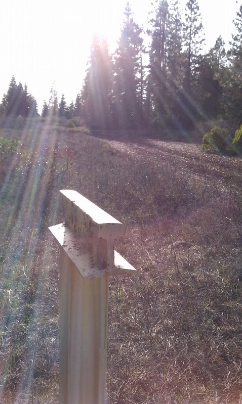
Location. 42° 6.81′ N, 122° 8.003′ W. Marker is in Keno, Oregon, in Klamath County. Marker is at the intersection of Mule Hill Rd / Pokegama Rd and Green Springs Highway (Highway 66), on the left when traveling west on Mule Hill Rd / Pokegama Rd. Touch for map. Marker is in this post office area: Keno OR 97627, United States of America. Touch for directions.
Other nearby markers. At least 8 other markers are within 6 miles of this marker, measured as the crow flies. Weyerhaeuser Camp 3 (approx. 1.1 miles away); Weyerhaeuser Camp 4 (approx. 4.1 miles away); Parker Station (approx. 4.4 miles away); Walters Cabin Tree Planting (approx. 5.3 miles away); Second Klamath River Ford (approx. 5.4 miles away); The Applegate Trail (approx. 5˝ miles away); Klamath River Crossing (approx. 5˝ miles away); Topsy Grade (approx. 5˝ miles away). Touch for a list and map of all markers in Keno.
More about this marker. This marker is one of many 'T' markers located throughout Klamath County.
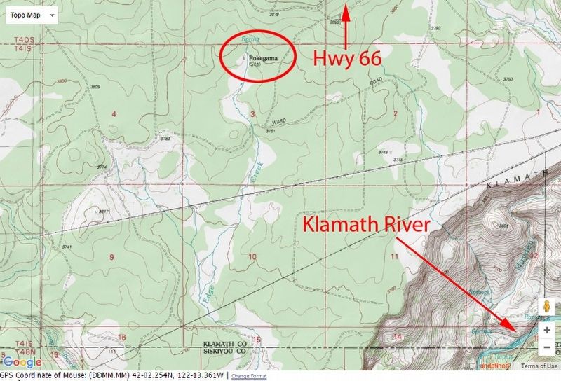
Regarding Freight and Stage Road. The following is taken from Stephen Beckham's Historical landscape overview of the upper Klamath River Canyon of Oregon and California to describe the Pokegama (the former community) and it reads:
This community was located in T41S, R5W, Section 3, W.M. In 1903 it became the terminus of the Klamath Lake Railroad and served as a logging camp and place of residence for the men logging the Pokegama Plateau in the first decade of the twentieth century.
P. T. Abbott, manager of the Klamath Lake Railroad, described the community in 1905:
Cabins for hotel rooms and a separate building for dining were set up and made up the town. The high altitude and the piney air was fresh and pure. The most exciting part of the slow trip to Klamath Falls was the arising in the cold morning at Pokegama to get into the cold six-horse stage that left at 3 AM. This was a sixhour and as bumpy a trip as the western movies show, but the road led through tall green pines and eventually passed some scattered buildings including the way station, Keno.
Gerald Z. Wollam, a resident of the community, later recalled that Pokegama was mostly constructed of tent houses, each with a floor of rough planks, rough-cut lumber for walls, and a canvas roof. Fire swept through Pokegama on September 4, 1907, destroying the depot, warehouse, store, post office, and offices of the Algoma Lumber Company. Since a number of the structures were tent-buildings the losses were not too substantial. The property destroyed-buildings and goods- was valued at $4,000 to $5,000.
It should be noted that Klamath Lake Railroad had a logging railroad that started at Pokegama, ran southwest to the Klamath River, crossing the river at Klamathon (Old Pokegama) and continued west to the town of Ager terminus. All the rail lines were torn up and removed in the early 1920s but a few traces remain of its existence to the careful observer.
Also see . . . Historical landscape overview of the upper Klamath River Canyon of Oregon and California. (Submitted on December 8, 2016, by Douglass Halvorsen of Klamath Falls, Oregon.)
Credits. This page was last revised on December 12, 2016. It was originally submitted on December 8, 2016, by Douglass Halvorsen of Klamath Falls, Oregon. This page has been viewed 463 times since then and 24 times this year. Photos: 1, 2, 3, 4, 5. submitted on December 8, 2016, by Douglass Halvorsen of Klamath Falls, Oregon. • Bill Pfingsten was the editor who published this page.
