Natchez in Adams County, Mississippi — The American South (East South Central)
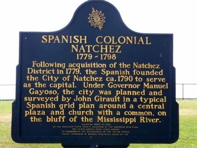
Spanish Colonial Natchez
1779 ~ 1798
Dedicated March 27, 1998
by the Mississippi State Society Daughters of the American Revolution,
Mrs. Erwin Connel Ward, State Regent,
to commemorate the bicentennial of the United States' taking possession of Natchez from Spain, March 30, 1798.
Erected 1998 by Mississippi State Society Daughters of the American Revolution.
Topics and series. This historical marker is listed in these topic lists: Colonial Era • Hispanic Americans • Settlements & Settlers. In addition, it is included in the Daughters of the American Revolution series list. A significant historical date for this entry is March 27, 1941.
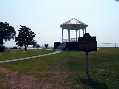
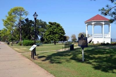
Location. 31° 33.712′ N, 91° 24.389′ W. Marker is in Natchez, Mississippi, in Adams County. Marker is on S. Broadway St, on the right when traveling south. Marker is located in Bluff Park. Touch for map. Marker is in this post office area: Natchez MS 39120, United States of America. Touch for directions.
Other nearby markers. At least 8 other markers are within walking distance of this marker. Bluff Park - Playground for the City (here, next to this marker); Natchez (within shouting distance of this marker); Richard N. Wright (within shouting distance of this marker); Bluff Park - Memorials and Louisiana Connections (within shouting distance of this marker); The Natchez Trace (within shouting distance of this marker); Bluff Park and South Broadway Street (within shouting distance of this marker); Ealey Brothers (about 300 feet away, measured in a direct line); Intersection of Main and Canal Streets (about 400 feet away). Touch for a list and map of all markers in Natchez.
Credits. This page was last revised on November 23, 2019. It was originally submitted on August 8, 2008, by Karen Key of Sacramento, California. This page has been viewed 2,501 times since then and 77 times this year. Photos: 1, 2. submitted on August 8, 2008, by Karen Key of Sacramento, California. 3. submitted on August 14, 2015, by Duane Hall of Abilene, Texas.


