Spanish Fort in Baldwin County, Alabama — The American South (East South Central)
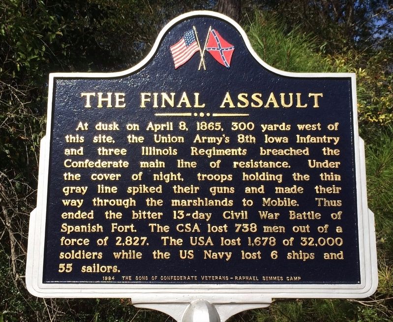
The Final Assault
Erected 1984 by The Sons of Confederate Veterans - Raphael Semmes Camp.
Topics. This historical marker is listed in these topic lists: War, US Civil • Waterways & Vessels. A significant historical date for this entry is April 8, 1865.
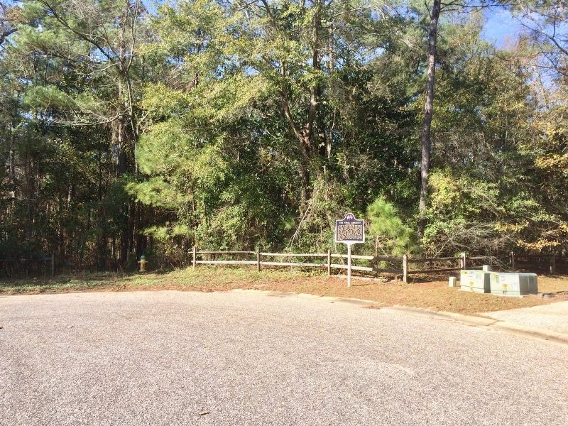
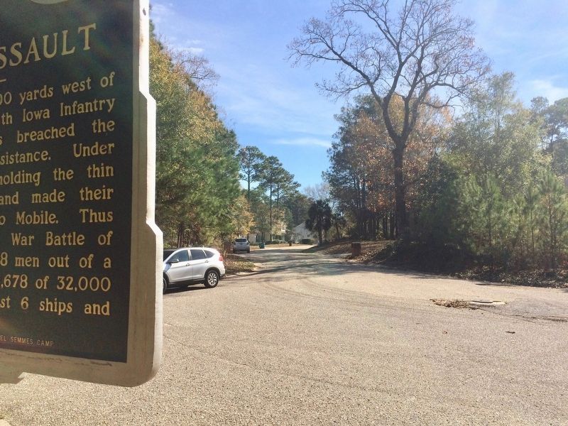
Location. 30° 41.249′ N, 87° 54.687′ W. Marker is in Spanish Fort, Alabama, in Baldwin County. Marker is on Cora Slocomb Drive, 0.3 miles north of General Canby Drive. Touch for map. Marker is at or near this postal address: 24 Cora Slocomb Drive, Spanish Fort AL 36527, United States of America. Touch for directions.
Other nearby markers. At least 8 other markers are within walking distance of this marker. Union Siege Battery No. 21 / 3rd Brigade of Carr's Division (approx. 0.2 miles away); The 8th Iowa Infantry (approx. 0.2 miles away); Confederate Redoubt No. 5 / Ector's Brigade (approx. ¼ mile away); The Union First Parallel / Union Siege Battery No. 16 (approx. 0.3 miles away); Confederate Redoubt No. 4 / Holtzclaw's Brigade (approx. 0.4 miles away); 1st Division, U.S. Colored Troops (approx. 0.4 miles away); Site Of The Naval Battery (approx. half a mile away); Red Fort (approx. 0.6 miles away). Touch for a list and map of all markers in Spanish Fort.
More about this marker. Over the last few years these markers have been repainted and repaired.
This marker was previously located on Navy Lane.
Credits. This page was last revised on September 14, 2020. It was originally submitted on January 15, 2017, by Mark Hilton of Montgomery, Alabama. This page has been viewed 757 times since then and 44 times this year. Photos: 1, 2, 3. submitted on January 15, 2017, by Mark Hilton of Montgomery, Alabama.


