Grand Island in Erie County, New York — The American Northeast (Mid-Atlantic)
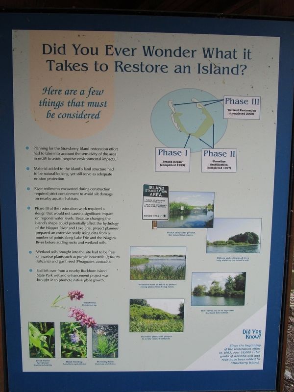
Did You Ever Wonder What It Takes to Restore an Island?
Here Are a Few Things that Must Be Considered
Inscription.
• Planning for the Strawberry Island Restoration effort had to take into account the sensitivity of the area in order to avoid negative environmental impacts.
• Material added to the island's structure had to be natural-looking, yet still serve as adequate erosion protection.
• River sediments excavated during construction required strict containment to avoid silt damage on nearby aquatic habitats.
• Phase III of the restoration work required a design that would not cause a significant impact on regional water levels. Because changing the island's shape could potentially affect the hydrology of the Niagara River and Lake Erie, project planners prepared an extensive study using data from a number of points along Lake Erie and the Niagara River before adding rocks and wetland soils.
• Wetland soils brought into the site had to be free of invasive plants such as purple loosestrife (Lythrum salicaria) and giant reed (Phragmites australis).
• Soil left over from a nearby Buckhorn Island State Park wetland enhancement project was brought in to promote native plant growth.
Didi You Know? Since the beginning of the restoration effort in 1993, over 18,000 cubic yards of wetland soil and rock have been added to Strawberry Island.
[insets:]
Smartweed Polygonum sp.. Broad-leaved Arrowhead Sagittaria latifolia. Marsh Skullcap Scutellaria epilobifolia. Flowering Rush Butomus umbellatus
Phase I Breach Repair (completed 1993). Phase II Shoreline Stabilization (completed 1997). Phase III Wetland Restoration (completed 2002).
Rocks and plants protect the island from waves.
Willows and cottonwood trees help stabilize the island's soil.
Measures must be taken to protect young plants from being eaten.
The central bay is an important bird and fish habitat.
Shoreline plants will prosper in newly created wetlands.
Topics. This historical marker is listed in these topic lists: Environment • Man-Made Features. A significant historical year for this entry is 1993.
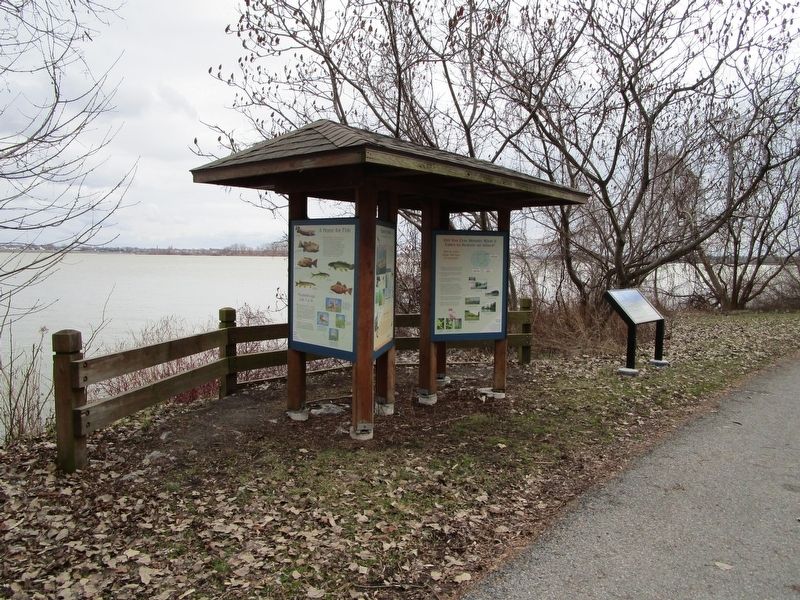
Location. 42° 57.551′ N, 78° 56.33′ W. Marker is on Grand Island, New York, in Erie County. Marker is on Park Road Loop at Area 3, on the right when traveling east. Marker is on the loop road past area 3 in Beaver Island State Park. Touch for map. Marker is in this post office area: Grand Island NY 14072, United States of America. Touch for directions.
Other nearby markers. At least 8 other markers are within walking distance of this marker. Strawberry Island (here, next to this marker); Recovery (here, next to this marker); Management (here, next to this marker); a different marker also named Strawberry Island (here, next to this marker); Island Life
(here, next to this marker); A Home for Fish (here, next to this marker); Allenton Farm/Creating Beaver Island State Park (approx. 0.2 miles away); Grover Cleveland & Grand Island / Lewis F. Allen & Western New York (approx. 0.2 miles away). Touch for a list and map of all markers in Grand Island.
Also see . . . Beaver Island - New York State Office of Parks, Recreation & Historic Preservation. Vehicle entrance fee collected in season. (Submitted on January 27, 2017, by Anton Schwarzmueller of Wilson, New York.)
Credits. This page was last revised on January 28, 2017. It was originally submitted on January 27, 2017, by Anton Schwarzmueller of Wilson, New York. This page has been viewed 210 times since then and 13 times this year. Photos: 1, 2. submitted on January 27, 2017, by Anton Schwarzmueller of Wilson, New York.

