Okolona in Chickasaw County, Mississippi — The American South (East South Central)
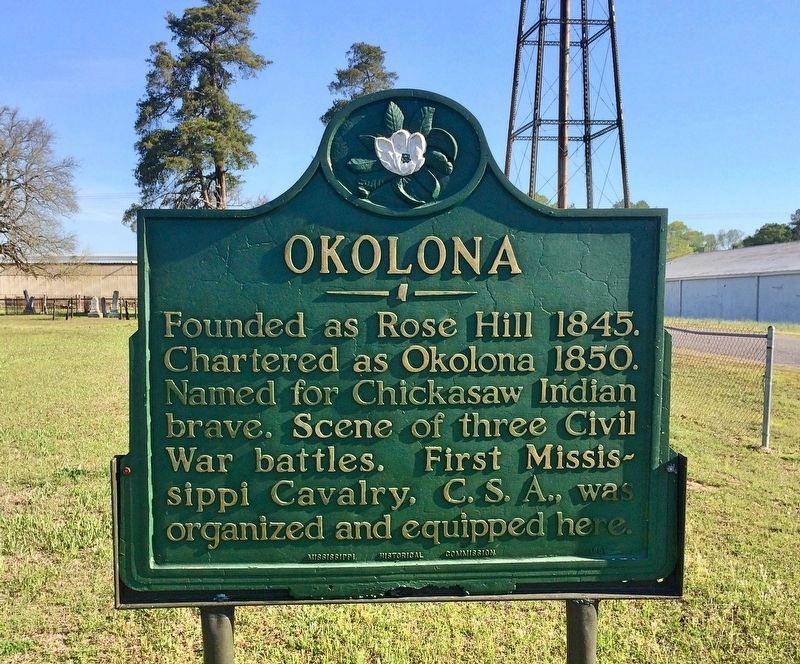
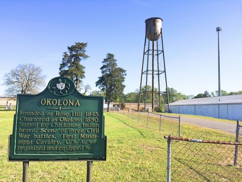
Okolona
Erected 1951 by the Mississippi Historical Commission.
Topics and series. This historical marker is listed in these topic lists: Native Americans • Settlements & Settlers • War, US Civil. In addition, it is included in the Mississippi State Historical Marker Program series list. A significant historical year for this entry is 1845.
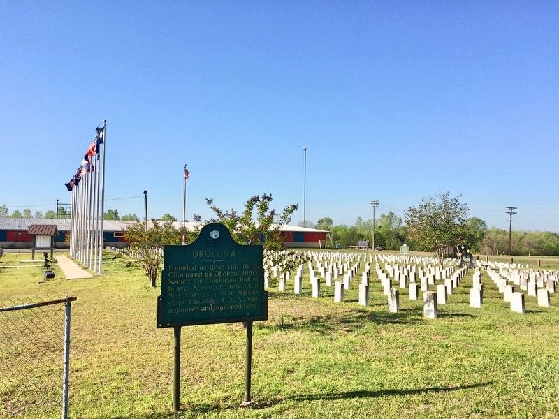
Location. 33° 59.938′ N, 88° 45.263′ W. Marker is in Okolona, Mississippi, in Chickasaw County. Marker is on Park Lane Drive south of Adams Avenue, on the left when traveling north. Located within the Confederate Cemetery. Previously located along the South Church Street side of the cemetery and it was restored in the summer of 2014. Touch for map. Marker is at or near this postal address: 500 Park Lane Drive, Okolona MS 38860, United States of America. Touch for directions.
Other nearby markers. At least 8 other markers are within 6 miles of this marker, measured as the crow flies. Confederate Cemetery (within shouting distance of this marker); Chickasaw County Confederate Tribute (within shouting distance of this marker); Okolona in the Civil War (approx. 0.6 miles away); Our Confederate Dead Soldiers' Monument (approx. 0.6 miles away); a different marker also named Okolona (approx. one mile away); Battle of Okolona (approx. 1.2 miles away); Okolona College (approx. 1.3 miles away); a different marker also named Battle of Okolona (approx. 5.8 miles away). Touch for a list and map of all markers in Okolona.
More about this marker. A similar marker, also dated 1951, erected by the newer name of the Mississippi Historical Commission, the Mississippi Department of Archives and History, is located at the East city limits on Highway 41.
Also see . . . Wikipedia article on Okalona. (Submitted on April 13, 2017, by Mark Hilton of Montgomery, Alabama.)
Credits. This page was last revised on April 13, 2017. It was originally submitted on April 13, 2017, by Mark Hilton of Montgomery, Alabama. This page has been viewed 435 times since then and 35 times this year. Photos: 1, 2, 3. submitted on April 13, 2017, by Mark Hilton of Montgomery, Alabama.


