Near Spotsylvania Courthouse in Spotsylvania County, Virginia — The American South (Mid-Atlantic)
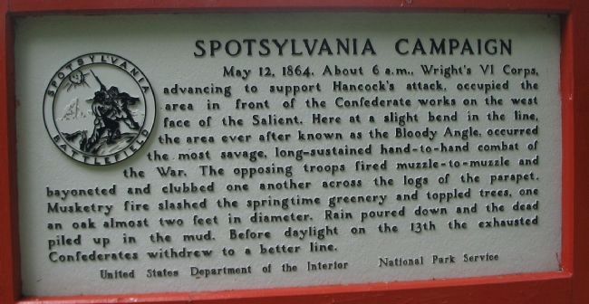
Spotsylvania Campaign
Erected by United States Department of the Interior - National Park Service.
Topics. This historical marker is listed in this topic list: War, US Civil. A significant historical date for this entry is May 12, 1864.
Location. 38° 13.403′ N, 77° 36.004′ W. Marker is near Spotsylvania Courthouse, Virginia, in Spotsylvania County. Marker can be reached from Grant Drive, on the left when traveling east. Located at tour stop three (Bloody Angle) on the driving tour of Spotsylvania Battlefield unit of the Fredericksburg and Spotsylvania National Military Park. The marker is a short walk from the parking area, on the Bloody Angle hiking trail. Touch for map. Marker is in this post office area: Spotsylvania VA 22553, United States of America. Touch for directions.
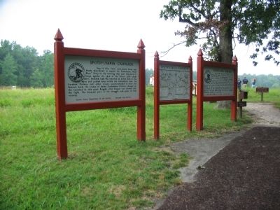
Other nearby markers. At least 8 other markers are within walking distance of this marker. A different marker also named Spotsylvania Campaign (here, next to this marker); 49th New York Infantry (a few steps from this marker); McGowan's Brigade (a few steps from this marker); 15th Regiment New Jersey Volunteers (within shouting distance of this marker); The Confederate Earthworks (within shouting distance of this marker); Aftermath (within shouting distance of this marker); Struggle for the Bloody Angle (within shouting distance of this marker); Bloody Angle, Crowded Ravine (within shouting distance of this marker). Touch for a list and map of all markers in Spotsylvania Courthouse.
Also see . . . Bloody Angle. National Park Service website entry (Submitted on August 15, 2008, by Craig Swain of Leesburg, Virginia.)
Photographed By Craig Swain, July 6, 2008
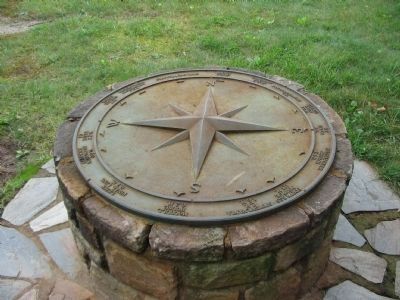
4. Compass
As at many locations on the Fredericksburg and Spotsylvania Battlefields, a compass points out the distances to different strategic points. From the north, clockwise - Brown House 0.8 m, Landram House 0.3 m, Fredericksburg 9 m, Harris Farm 1.9 m, Ny River 1 m,
Massaponax Church 5.4 m, Fortress Monroe 113 m, Spotsylvania C.H. 1.6 m, McCoull House 0.2 m,
Lee's Final Line 0.7 m, Sedgwick Monument 0.9 m,
Po River 2.2 m, Todd's Tavern 4 m, Brock-Plank Crossroads 7.9 m, and Chancellorsville 6.1 m
Photographed By Craig Swain, May 3, 2009
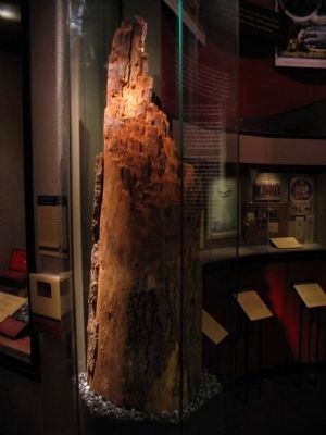
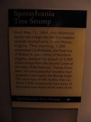
6. Spotsylvania Tree Stup
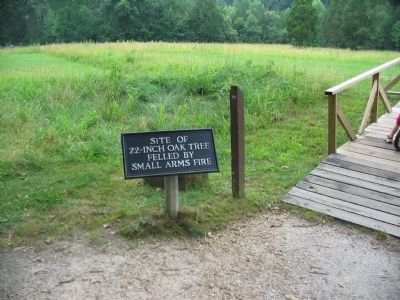
Until May 12, 1864, this shattered stump was a large oak tree in a meadow outside Spotsylvania Court House, Virginia. That morning, 1,200 entrenched Confederates, the front line of Robert E. Lee's Army of Northern Virginia, awaited the assault of 5,000 Union troops from the Second Corps of the Army of the Potomac. Twenty hours later, the once-peaceful meadow had acquired a new name, Bloody Angle. The same fury of rifle bullets that cut down 2,000 combatants tore away all but twenty-two inches of the tree's trunk.
Credits. This page was last revised on December 17, 2022. It was originally submitted on August 15, 2008, by Craig Swain of Leesburg, Virginia. This page has been viewed 1,310 times since then and 57 times this year. Photos: 1, 2, 3. submitted on August 15, 2008, by Craig Swain of Leesburg, Virginia. 4. submitted on August 18, 2008, by Craig Swain of Leesburg, Virginia. 5, 6. submitted on June 15, 2009, by Craig Swain of Leesburg, Virginia.
