Aldie in Loudoun County, Virginia — The American South (Mid-Atlantic)
Mt. Zion Cemetery
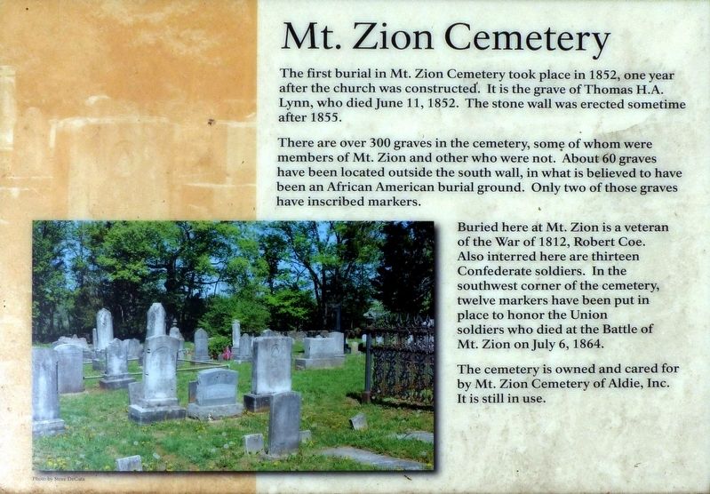
There are over 300 graves in the cemetery, some of whom were members of Mt. Zion and other who were not. About 60 graves have been located outside the south wall, in what is believed to have been an African American burial ground. Only two of those graves have inscribed markers.
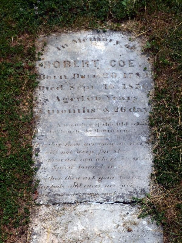
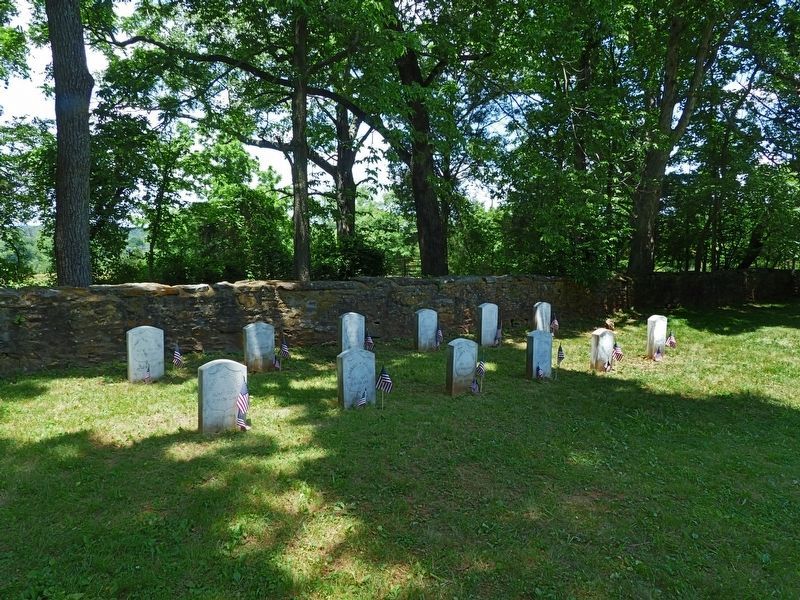
Buried here at Mt. Zion is a veteran of the War of 1812, Robert Coe. Also interred here are thirteen Confederate soldiers. In the southwest corner of the cemetery, twelve markers have been put in place to honor the Union soldiers who died at the Battle of Mt. Zion on July 6, 1864.
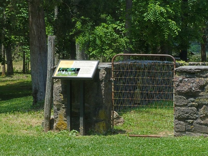
The cemetery is owned and cared for by Mt. Zion Cemetery of Aldie, Inc. It is still in use.
Topics. This historical marker is listed in these topic lists: African Americans • Cemeteries & Burial Sites • War of 1812 • War, US Civil. A significant historical date for this entry is June 11, 1852.
Location. 38° 57.818′ N, 77° 36.601′ W. Marker is in Aldie, Virginia, in Loudoun County. Marker can be reached from the intersection of Lee Jackson Memorial Highway and Watson Road. At the southeast corner of the Mt. Zion Church Cemetery. Touch for map. Marker is at or near this postal address: 40319 Lee Jackson Memorial Highway, Aldie VA 20105, United States of America. Touch for directions.
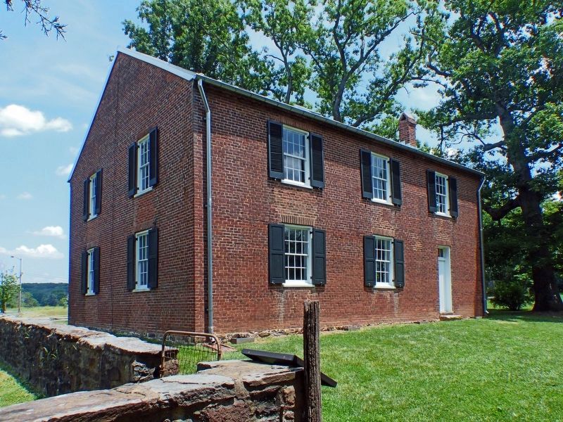
Other nearby markers. At least 8 other markers are within walking distance of this marker. Mt. Zion Old School Baptist Church (within shouting distance of this marker); Mt. Zion Historic Park (within shouting distance of this marker); Plain Path…Shenandoah Hunting Path…Carolina Road…Rogue’s Road… (within shouting distance of this marker); Mt. Zion Church (within shouting distance of this marker); Elders of the Mount Zion Old School Baptist Church (within shouting distance of this marker); The Mosby-Forbes Engagement July 6, 1864 (within shouting distance of this marker); The Fog of War (within shouting distance of this marker); Welcome to Gilbert's Corner Regional Park (about 500 feet away, measured in a direct line). Touch for a list and map of all markers in Aldie.
Photographed By Allen C. Browne, June 12, 2017
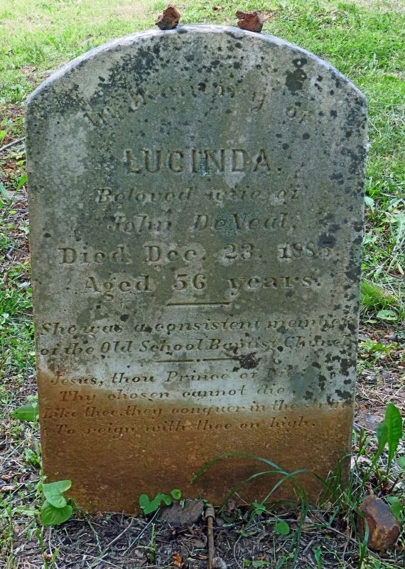
5. Luncinda DeVeal
Lucinda
Beloved wife of
John DeVeal
Died Dec. 23, 1885
She was a consistent member
of the Old School Baptist Chruch
Jesus thou Prince of life;
They chosen cannot die,
Like thee, they conquer in the strife
To reign with the on high.
Lucinda DeVeal was one of the African Americans buried outside the cemetery walls.
Credits. This page was last revised on December 27, 2023. It was originally submitted on June 13, 2017, by Allen C. Browne of Silver Spring, Maryland. This page has been viewed 670 times since then and 45 times this year. Last updated on December 26, 2023, by Carl Gordon Moore Jr. of North East, Maryland. Photos: 1, 2, 3, 4, 5, 6. submitted on June 13, 2017, by Allen C. Browne of Silver Spring, Maryland. 7. submitted on June 19, 2017, by Allen C. Browne of Silver Spring, Maryland. • Bernard Fisher was the editor who published this page.
