Hopkinsville in Christian County, Kentucky — The American South (East South Central)
Whitepath and Fly Smith
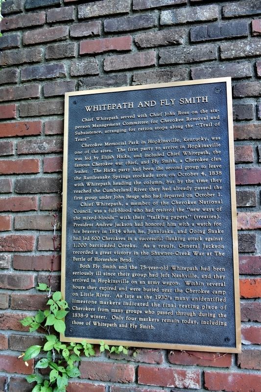
Chief Whitepath served with Chief John Ross on the six-person Management Committee for Cherokee Removal and Subsistence, arranging for ration stops along the "Trail of Tears".
Cherokee Memorial Park in Hopkinsville, Kentucky, was one of the sites. The first party to arrive in Hopkinsville was lead by Elijah Hicks, and included Chief Whitepath, the famous Cherokee war chief, and Fly Smith, a Cherokee clan leader. The Hicks party had been the second group to leave the Rattlesnake Springs stockade area on October 4, 1838 with Whitepath heading the column, but by the time they reached the Cumberland River they had already passed the first group under John Benge who had departed on October 1. Chief Whitepath, a member of the Cherokee National Council, was a full-blood who had resisted the "new ways of the mixed-bloods" who had with their "talking papers" (treatise). President Andrew Jackson had honored him with a watch for his bravery in 1814 when he, Junaluska, and Going Snake had led 600 Cherokee in a successful flanking attack against 1,000 barricaded Creeks. As a result, General Jackson recorded a great victory in the Shawnee-Creek War at the Battle of Horseshoe Bend.
Both Fly Smith and the 75-year-old Whitepath had been seriously ill since their group had left Nashville, and they arrived in Hopkinsville on an army wagon. Within several hours they expired and were buried near the Cherokee camp on Little River. As late as the 1930's many unidentified limestone markers indicated the final resting place of Cherokees from many groups who passed through during the 1838-9 winter. Only four markers remain today, including those of Whitepath and Fly Smith.
Topics and series. This historical marker is listed in these topic lists: Cemeteries & Burial Sites • Native Americans. In addition, it is included in the Trail of Tears series list.
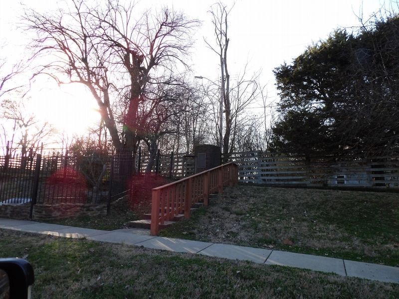
Location. 36° 51.166′ N, 87° 28.18′ W. Marker is in Hopkinsville, Kentucky, in Christian County. Marker is on Trail of Tears Drive. Marker is located on a brick wall, on the path to the cemetery where two Indian Chiefs are buried. Chief Whitepath and Chief Fly Smith. Touch for map. Marker is at or near this postal address: 200 Trail of Tears Dr, Hopkinsville KY 42240, United States of America. Touch for directions.
Other nearby markers. At least 8 other markers are within 2 miles of this marker, measured as the crow flies. Cherokee "Trail of Tears" (here, next to this marker); The Cherokee A Civilized People (within shouting distance of this marker); Trail of Tears Indian Camping Grounds (approx. 0.3 miles away); The Trail of Tears (approx. 0.3 miles away); Peace Park (approx. 1.1 miles away); Judge Joseph Crockett House (approx. 1.2 miles away); First Presbyterian (approx. 1.2 miles away); U.S. Post Office Building (approx. 1.3 miles away). Touch for a list and map of all markers in Hopkinsville.
Also see . . .
1. Chief "Nunna-tsune-ga" WhitePath. Find A Grave website entry (Submitted on July 17, 2017, by Sandra Hughes Tidwell of Killen, Alabama, USA.)
2. Chief Fly Smith. Eind A Grave website entry:
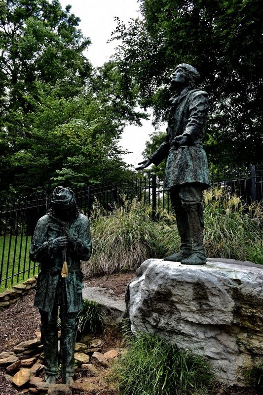
Clan Chief of the Cherokee nation. Flysmith was ill from the long journey on the Trail of Tears and he died shortly after the group arrived in Hopkinsville in the bitter cold winter of 1838. At the Trail of Tears Memorial Park, near the place where they both died, there is a monument to Flysmith and the other Cherokee Chief (Whitepath) with bronze statues of their likenesses. (Submitted on July 17, 2017, by Sandra Hughes Tidwell of Killen, Alabama, USA.)
Photographed By Sandra Hughes, July 11, 2017
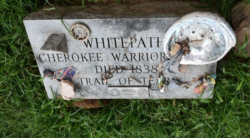
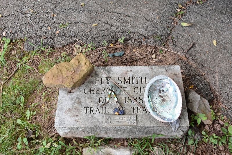
3. Grave site of Chief Fly Smith
Cherokee Chief died 1838
Trail of Tears
In Honor of one who endured the forced removal of the Cherokee in 1838-39, The Trail of Tears Association Oklahoma Chapter
Trail of Tears National Trail
Seal of the Cherokee Nation Chapter
Sept 6, 1839
Photographed By Sandra Hughes, July 11, 2017
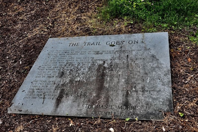
5. Whitepath and Fly Smith
The Trail Goes On
But they stand at the end of their journey shivering in the cold
Shaking with sickness that no leader should endure
The Trail Goes On
But they stand upon this ground
One with head bowed in silent acceptance leading on his stick
the other with hand outstretched
asking the great spirit to help him know the reason
for the grieving and the suffering of his people
the women and children cry in their camp by the river
stung by the frost aching from the lack of food
they look to their chiefs for answers
and in their eyes see only expressionless despair
The Trail Goes On
But two chiefs lie here in the stillness
unable now to help their people
throw off the oppression of the white man and his manifest destiny
Their pain lives on in these figures silent not beneath the sun and starts
and the
The Trail Goes On
Thomas E.. Morris Jr.
December 17, 1989
Credits. This page was last revised on February 25, 2024. It was originally submitted on July 17, 2017, by Sandra Hughes Tidwell of Killen, Alabama, USA. This page has been viewed 865 times since then and 83 times this year. Photos: 1, 2, 3, 4, 5. submitted on July 17, 2017, by Sandra Hughes Tidwell of Killen, Alabama, USA. 6. submitted on February 25, 2024, by Duane and Tracy Marsteller of Murfreesboro, Tennessee. • Bill Pfingsten was the editor who published this page.
