The Forks in Winnipeg, Manitoba — Canada’s Prairie Region (North America)
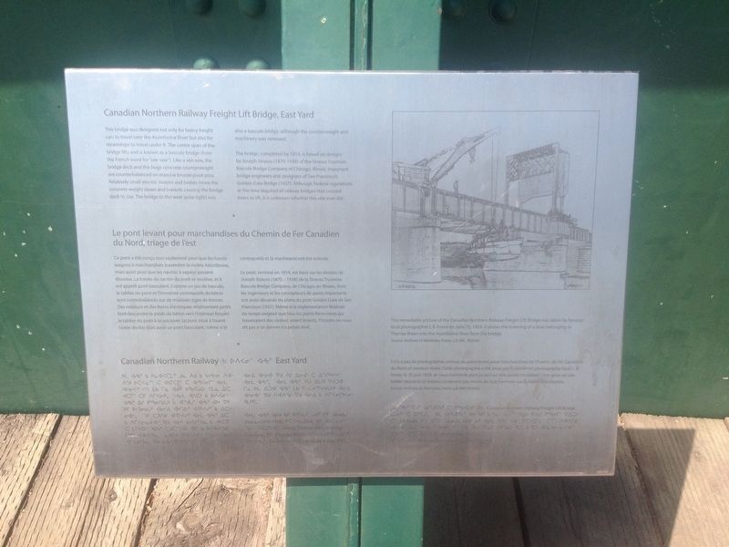
Canadian Northern Railway Freight Lift Bridge, East Yard
Le pont levant pour marchandises du Chemin de Fer Canadien du Nord, triage de l'est
Inscription.
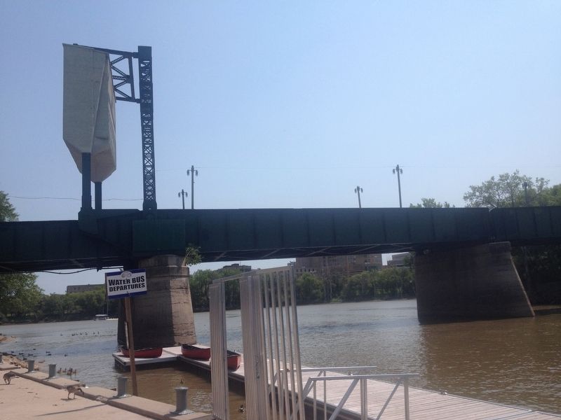
This bridge was designed not only for heavy freight cars to travel over the Assiniboine River but also for steamships to travel under it. The center span of the bridge lifts and is known as a bascule bridge (from the French word for "see-saw"). Like a see-saw, the bridge deck and the huge concrete counterweight are counterbalanced on massive bronze pivot pins. Relatively small electric motors and brakes move the concrete weight down and inwards causing the bridge deck to rise. The bridge to the west (your right) was also a bascule bridge, although the counterweight and machinery was removed.
The bridge, completed by 1914, is based on designs by Joseph Strauss (1870-1938) of the Strauss Trunnion Bascule Bridge Company of Chicago, Illinois, important bridge engineers and designers of San Francisco's Golden Gate Bridge (1937). Although Federal regulations at the time required all railway bridges that crossed rivers to lift, it is unknown whether this one ever did.
Le pont, terminé en 1914, est basé sur les dessins de Joseph Strauss (1870 - 1938) de la Strauss Trunnion Bascule Bridge Company, de Chicago, en Illinois, dont les ingénieurs et les concepteurs de ponts importants ont aussi dessinés les plans du pont Golden Gate de San Francisco (1937). Même si la réglementation fédérale du temps exigeait que tous les ponts ferroviaires qui traversaient des rivières soient levants, l'histoire ne nous dit pas si ce dernier n'a jamais levé.
Topics. This historical marker is listed in these topic lists: Bridges & Viaducts • Man-Made Features • Railroads & Streetcars • Waterways & Vessels. A significant historical year for this entry is 1914.
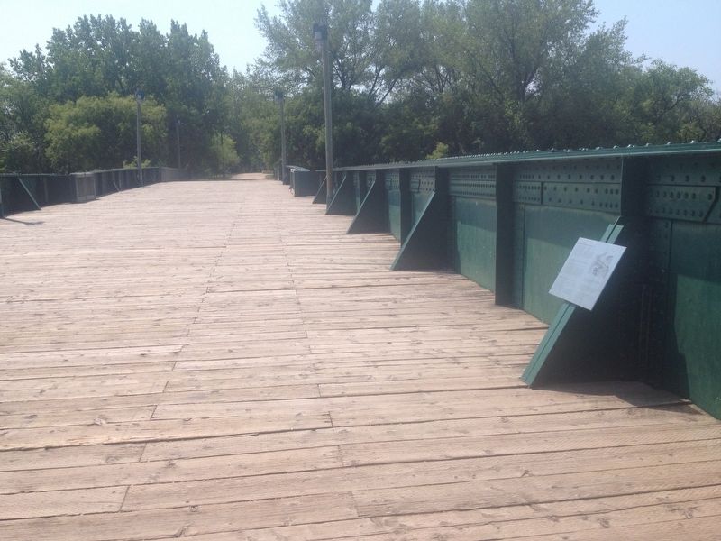
Location. 49° 53.153′ N, 97° 7.763′ W. Marker is in Winnipeg, Manitoba. It is in The Forks. Marker is on the pedestrian bridge (originally a
railroad bridge) that crosses the Assiniboine River just west of the junction with the Red River. Touch for map. Marker is in this post office area: Winnipeg MB R3C R3C, Canada. Touch for directions.
Other nearby markers. At least 8 other markers are within walking distance of this marker. Pierre Gaultier de Varennes et de La Vérendrye (about 120 meters away, measured in a direct line); The Creation of Manitoba (approx. 0.4 kilometers away); Forks of the Red and Assiniboine (approx. 0.4 kilometers away); Pierre Gaultier de La Vérendrye (approx. 0.4 kilometers away); The Path of Time (approx. 0.4 kilometers away); Le Couvent des Soeurs Grises / Grey Nuns' Convent (approx. half a kilometer away); Sister Marguerite d’Youville / Sœur Marguerite d’Youville (approx. half a kilometer away); Les Soeurs Nolin / Nolin Sisters (approx. half a kilometer away). Touch for a list and map of all markers in Winnipeg.

Photographed By Kevin Craft, July 9, 2017
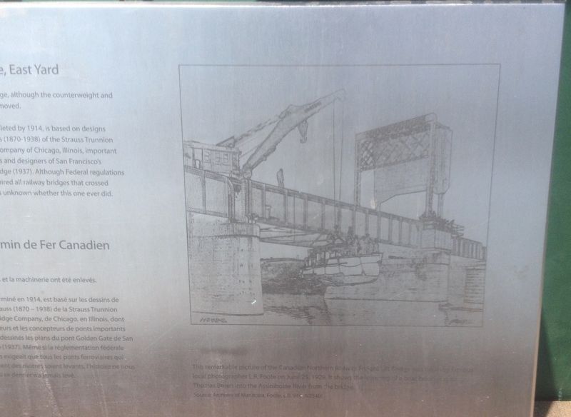
4. Photo etching on marker
This remarkable picture of the Canadian Northern Railway Freight Lift Bridge was taken by famous local photographer L.B. Foote on June 25, 1929. It shows the lowering of a boat belonging to Thomas Breen into the Assiniboine River from the bridge.
Source: Archives of Manitoba
Credits. This page was last revised on July 10, 2023. It was originally submitted on August 3, 2017, by Kevin Craft of Bedford, Quebec. This page has been viewed 278 times since then and 21 times this year. Photos: 1, 2, 3, 4. submitted on August 3, 2017, by Kevin Craft of Bedford, Quebec.


