M.V. Bluenose Anchor
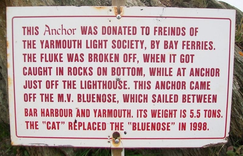
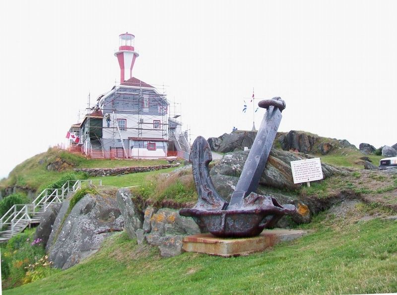
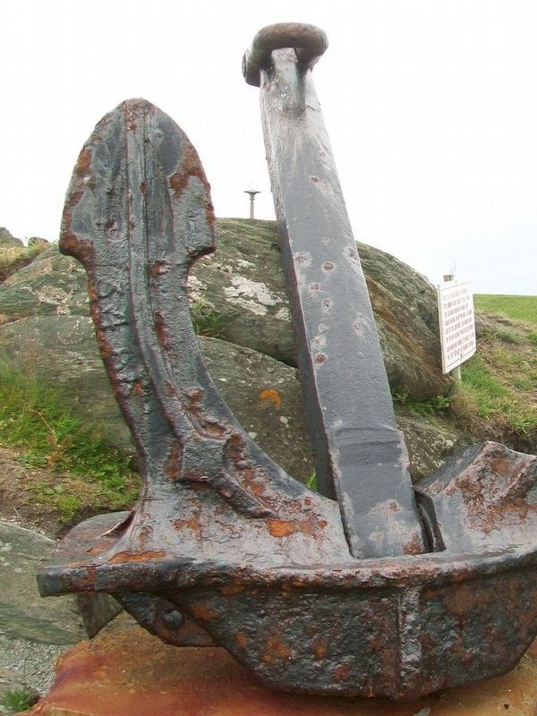
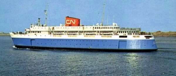
This Anchor was donated to Freinds [sic - Friends] of the Yarmouth Light Society, by Bay Ferries. The fluke was broken off, when it got caught in [the] rocks on bottom, while at anchor just off the lighthouse. This anchor came off the M.V. Bluenose, which sailed between Bar Harbour and Yarmouth. Its weight is 5.5 tons. The "Cat" replaced the "Bluenose" in 1998.
Erected by Friends of the Yarmouth Light Society.
Topics. This historical marker is listed in these topic lists: Man-Made Features • Waterways & Vessels. A significant historical year for this entry is 1998.
Location. 43° 50.167′ N, 66° 7.311′ W. Marker is in Yarmouth, Nova Scotia, in Yarmouth County. Marker can be reached from Water Street. Marker is at the Harbourfront Museum in the Killam Brothers Shipping Office. Touch for map. Marker is at or near this postal address: 90 Water St, Yarmouth NS B5A 1K9, Canada. Touch for directions.
Other nearby markers. At least 8 other markers are within walking distance of this marker. Ballard [sic - Bollard] (here, next to this marker); Bell (here, next to this marker); The Killam Brothers Buildings & Wharf (within shouting distance of this marker); the Parker-Eakins Buildings & Wharf (about 120 meters away, measured in a direct line); the Yarmouth-Boston Ferry (about 120 meters
More about this marker. The anchor was moved in May 2019 when the Friends of the Yarmouth Light society moved from the Cape Forchu lighthouse to a new location.
Also see . . .
1. MV Bluenose. Wikipedia entry (Submitted on August 29, 2017, by William Fischer, Jr. of Scranton, Pennsylvania.)
2. Cape Forchu: A Light Like No Other. Cape Firchu Lighthouse Website homepage (Submitted on August 29, 2017, by William Fischer, Jr. of Scranton, Pennsylvania.)
Credits. This page was last revised on May 5, 2021. It was originally submitted on August 29, 2017, by William Fischer, Jr. of Scranton, Pennsylvania. This page has been viewed 255 times since then and 20 times this year. Last updated on May 4, 2021, by Jennifer Wilkins of Cape Forchu, Nova Scotia. Photos: 1, 2, 3. submitted on August 29, 2017, by William Fischer, Jr. of Scranton, Pennsylvania. 4. submitted on March 15, 2021, by Larry Gertner of New York, New York. • J. Makali Bruton was the editor who published this page.


