Near Pomeroy in Meigs County, Ohio — The American Midwest (Great Lakes)
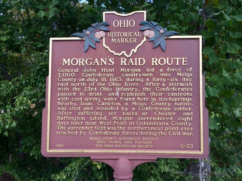
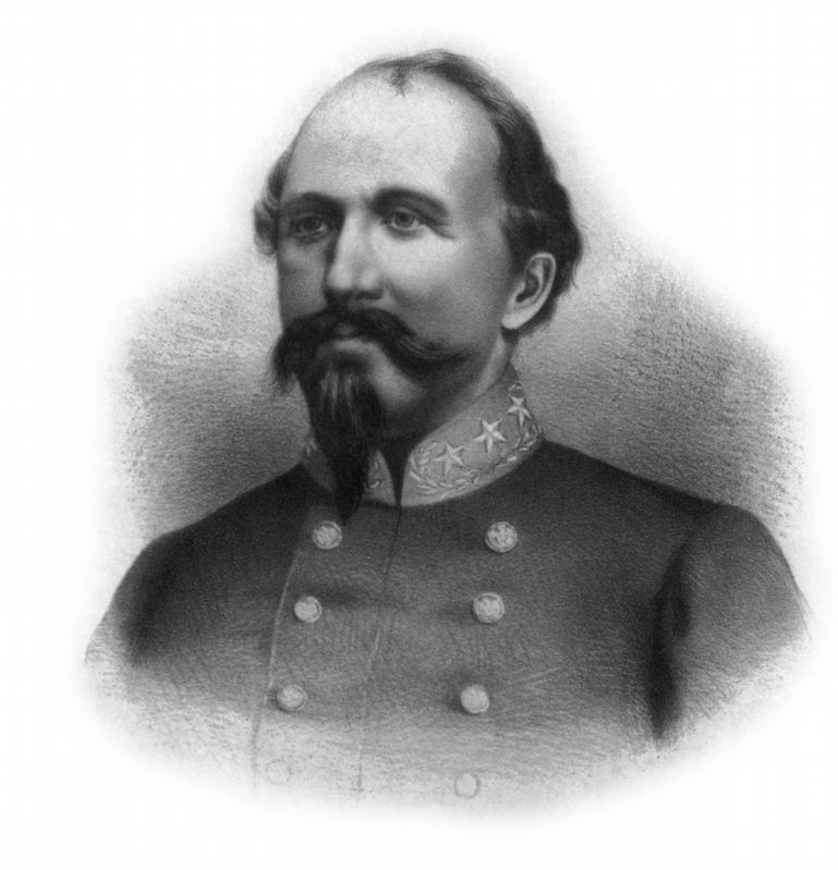
Morgan's Raid Route
Erected 1997 by Meigs County Historical Society, Ohio Travel and Tourism, The Ohio Historical Society. (Marker Number 6-53.)
Topics and series. This historical marker is listed in these topic lists: War, US Civil • Waterways & Vessels. In addition, it is included in the Ohio Historical Society / The Ohio History Connection series list. A significant historical date for this entry is July 18, 1863.
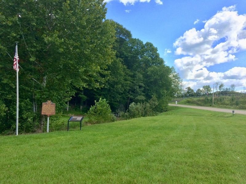
Location. 39° 3.53′ N, 82° 0.936′ W. Marker is near Pomeroy, Ohio, in Meigs County. Marker is at the intersection of Rocksprings Road and County Road 51A, on the right when traveling north on Rocksprings Road. Located just to the west of the Meigs County Highway Department. Touch for map. Marker is at or near this postal address: Rocksprings Road, Pomeroy OH 45769, United States of America. Touch for directions.
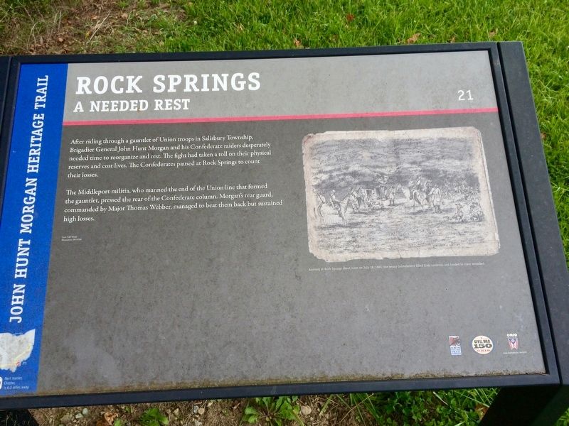
Other nearby markers. At least 8 other markers are within 3 miles of this marker, measured as the crow flies. Rock Springs (here, next to this marker); Meigs County Fairgrounds (about 700 feet away, measured in a direct line); Salisbury Township (approx. 1.3 miles away); The Three Sycamore Trees (approx. 2.1 miles away); Valentine Baxter Horton (approx. 2.1 miles away); Kerrs Run Colored School (approx. 2.2 miles away); a different marker also named Morgan’s Raid Route (approx. 2.2 miles away); James Edwin Campbell (approx. 2.2 miles away). Touch for a list and map of all markers in Pomeroy.
Related marker. Click here for another marker that is related to this marker.
Also see . . . Wikipedia article on Morgan's Raid. (Submitted on September 11, 2017, by Mark Hilton of Montgomery, Alabama.)
Credits. This page was last revised on September 11, 2017. It was originally submitted on September 11, 2017, by Mark Hilton of Montgomery, Alabama. This page has been viewed 387 times since then and 36 times this year. Photos: 1, 2, 3, 4. submitted on September 11, 2017, by Mark Hilton of Montgomery, Alabama.


