Enon in Chesterfield County, Virginia — The American South (Mid-Atlantic)
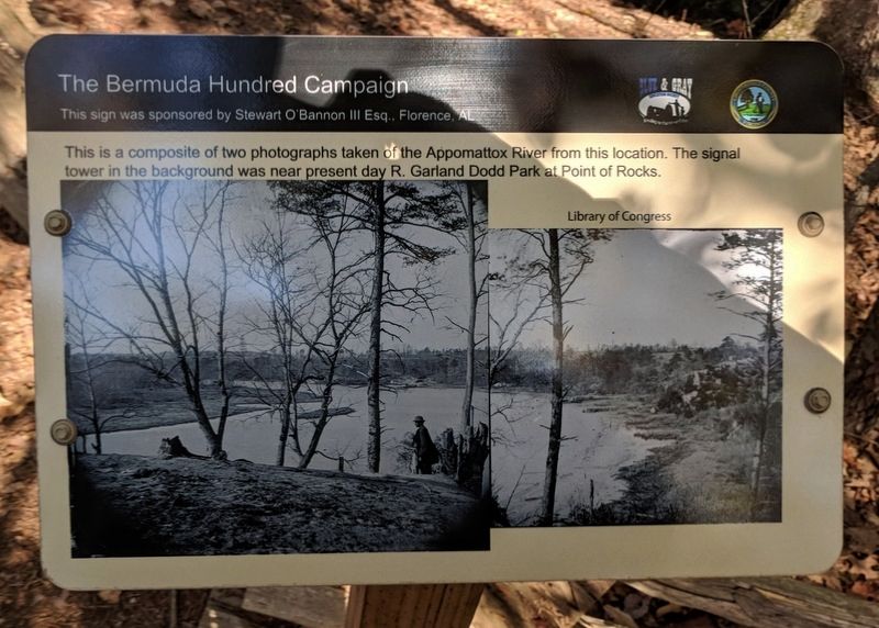
Appomattox River Overlook
The Bermuda Hundred Campaign
This sign was sponsored by Stewart O'Bannon III Esq., Florence AL
Erected 2016 by Chesterfield County and the Blue & Gray Education Society.
Topics. This historical marker is listed in these topic lists: War, US Civil • Waterways & Vessels.
Location. 37° 19.027′ N, 77° 20.282′ W. Marker is in Enon, Virginia, in Chesterfield County. Marker can be reached from the intersection of Enon Church Road (Virginia Route 746) and Point of Rocks Road, on the left when traveling west. The marker is located in Historic Point of Rocks Park (under development). Touch for map. Marker is at or near this postal address: 1005 Enon Church Rd, Chester VA 23836, United States of America. Touch for directions.
Other nearby markers. At least 8 other markers are within walking distance of this marker. Abraham Lincoln at Point of Rocks (within shouting distance of this marker); Broadway Landing (about 300 feet away, measured in a direct line); United States Colored Troops in the Army of the James (about 400 feet away); African-Americans in the Confederate War Effort (about 400 feet away); Point of Rocks Hospital Ward (about 400 feet away); The Siege of Petersburg Begins (about 500 feet away); The First Attacks on Petersburg (about 700 feet away); The Appomattox River Raid, June 26-28, 1862 (approx. 0.2 miles away). Touch for a list and map of all markers in Enon.
Also see . . . Bermuda Hundred Sign Campaign. Blue & Gray Education Society (Submitted on October 30, 2017.)
Credits. This page was last revised on October 31, 2017. It was originally submitted on October 30, 2017, by Bernard Fisher of Richmond, Virginia. This page has been viewed 422 times since then and 23 times this year. Photos: 1, 2. submitted on October 30, 2017, by Bernard Fisher of Richmond, Virginia.

