Shoshone in Lincoln County, Idaho — The American West (Mountains)
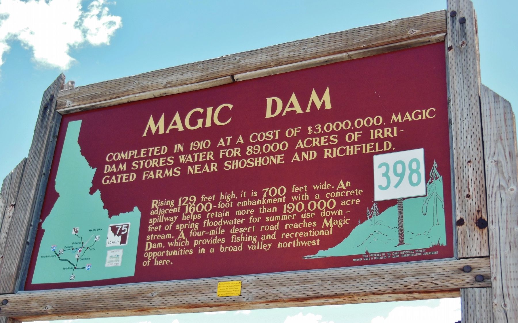
Magic Dam
Completed in 1910 at a cost of $3,000,000 Magic Dam stores water for 89,000 acres of irrigated farms near Shoshone and Richfield.
Rising 129 feet high, it is 700 feet wide. An adjacent 1600-foot embankment with a concrete spillway helps retain more than 190,000 acre feet of spring floodwater for summer use downstream. A four-mile desert road reaches Magic Dam, which provides fishing and recreational opportunities in a broad valley northwest of here.
Erected by Idaho Historical Society & Idaho Transportation Department. (Marker Number 398.)
Topics and series. This historical marker is listed in these topic lists: Agriculture • Charity & Public Work • Industry & Commerce • Waterways & Vessels. In addition, it is included in the Idaho State Historical Society series list. A significant historical year for this entry is 1910.
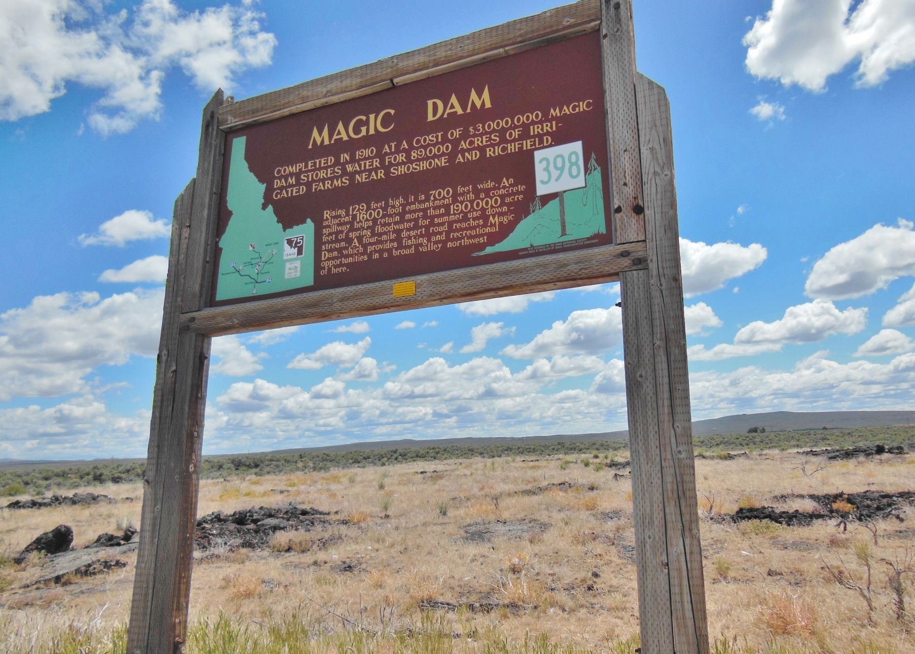
Location. 43° 10.665′ N, 114° 19.731′ W. Marker is in Shoshone, Idaho, in Lincoln County. Marker is on State Highway 75, 0.9 miles south of West Magic Road, on the right when traveling north. Marker is located in pull-out along east side of Idaho highway 75, about 5 miles south of subject dam, and about 1 mile south of a road that leads to the dam. Touch for map. Marker is in this post office area: Shoshone ID 83352, United States of America. Touch for directions.
Other nearby markers. At least 2 other markers are within 13 miles of this marker, measured as the crow flies. Timmerman Junction Oregon Trail Kiosk (approx. 10.9 miles away); Magic Reservoir (approx. 12.3 miles away).
More about this marker. Marker is a large wooden structure in good condition
Also see . . .
1. Magic Dam.
Magic Dam is an earthen embankment dam across the Big Wood River in southwestern Blaine County, Idaho. The dam was completed in 1910 by Magic Reservoir Hydroelectric, Inc. for irrigation, flood control and hydroelectric generation. Magic Dam supports a power station with three turbines totaling a capacity of 9,000 kW. (Submitted on November 5, 2017, by Cosmos Mariner of Cape Canaveral, Florida.)
2. Curious Mind: History of the Big Wood River.
...there were ranches down in the canyon before the dam was put in. There were probably two old homesteads, at least one of them was purchased by the canal company and was adjacent to East Magic... The original dam tender’s house is across the dam, and it burned in the late 1940s or early 1950s... The Big Wood River ran in its original channel before and after the dam was built. (Submitted on November 5, 2017, by Cosmos Mariner of Cape Canaveral, Florida.)
Credits. This page was last revised on August 25, 2020. It was originally submitted on November 5, 2017, by Cosmos Mariner of Cape Canaveral, Florida. This page has been viewed 1,197 times since then and 107 times this year. Photos: 1, 2. submitted on November 5, 2017, by Cosmos Mariner of Cape Canaveral, Florida. • Bill Pfingsten was the editor who published this page.

