Columbia in Tolland County, Connecticut — The American Northeast (New England)
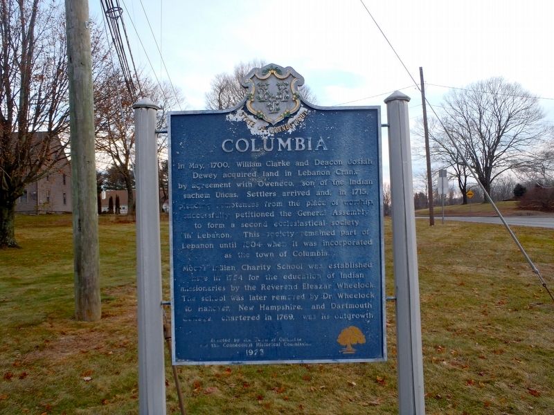
Columbia
In May, 1700, William Clarke and Deacon Josiah
Dewey acquired land in Lebanon Crank
by agreement with Oweneco, son of the Indian
sachem Unicas. Settlers arrived and, in 1715,
pleading remoteness from the place of worship
successfully petitioned the General Assembly
to form a second ecclesiastical society
in Lebanon. This society remained part of
Lebanon until 1804 when it was incorporated
as the town of Columbia.
Moor’s Indian Charity School was established
here in 1754 for the education of Indian
missionaries by the Reverand Eleazar Wheelock.
The school was later removed by Dr. Wheelock
to Hanover, New Hampshire, and Dartmouth
College, chartered in 1769, was its outgrowth
Erected 1973 by the Town of Columbia and the Connecticut Historical Commission.
Topics. This historical marker is listed in these topic lists: Churches & Religion • Colonial Era • Native Americans • Settlements & Settlers.
Location. 41° 42.138′ N, 72° 18.113′ W. Marker is in Columbia, Connecticut, in Tolland County. Marker is at the intersection of Jonathan Trumbull Highway (Connecticut Route 87) and Middletown Road (Connecticut Route 66), on the left when traveling south on Jonathan Trumbull Highway. Touch for map. Marker is in this post office area: Columbia CT 06237, United States of America. Touch for directions.
Other nearby markers. At least 8 other markers are within 4 miles of this marker, measured as the crow flies. Eleazar Wheelock D.D. (about 300 feet away, measured in a direct line); Trooper Russell A. Bagshaw (about 500 feet away); Columbia Korean War Monument (about 500 feet away); Moor’s Charity School (about 500 feet away); Town of Columbia Honor Roll (about 500 feet away); Columbia Vietnam War Monument (about 500 feet away); Columbia World War I Monument (about 500 feet away); Eleazar Wheelock (approx. 3.1 miles away). Touch for a list and map of all markers in Columbia.
Also see . . . Columbia. (Submitted on December 26, 2017, by Alan M. Perrie of Unionville, Connecticut.)
Credits. This page was last revised on December 28, 2017. It was originally submitted on December 26, 2017, by Alan M. Perrie of Unionville, Connecticut. This page has been viewed 214 times since then and 19 times this year. Photos: 1, 2. submitted on December 26, 2017, by Alan M. Perrie of Unionville, Connecticut. • Bill Pfingsten was the editor who published this page.

