Near Mosier in Wasco County, Oregon — The American West (Northwest)
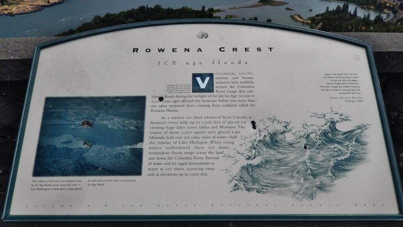
Rowena Crest - Ice Age Floods
Glaciers form when snow accumulates faster than it melts over a long period and is compressed into ice. Eventually, the weight and pressure become so great that the ice oozes slowly downslope.
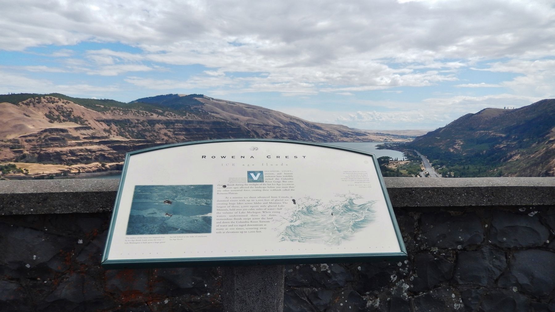
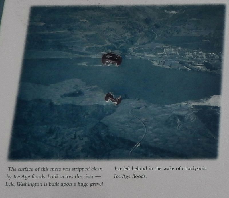
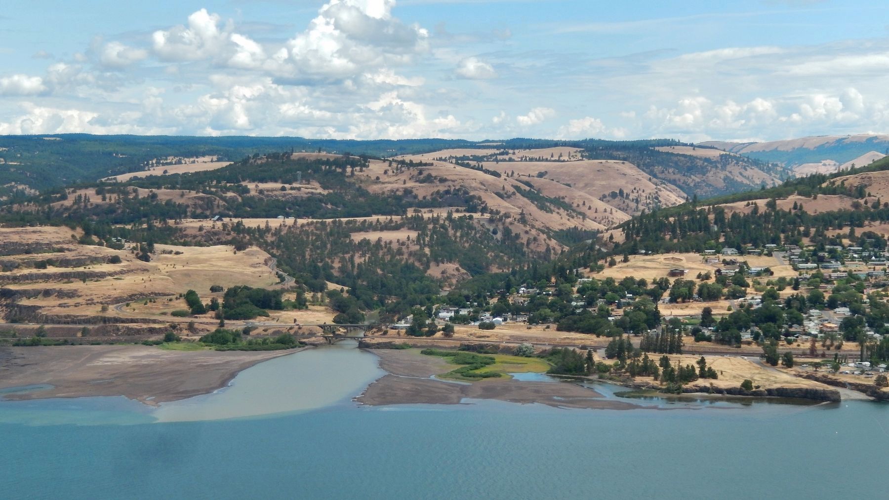
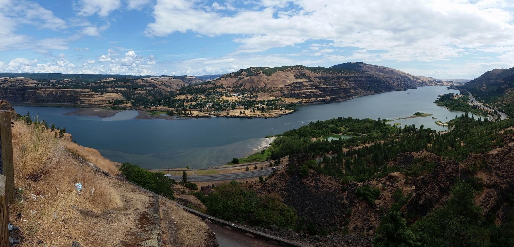
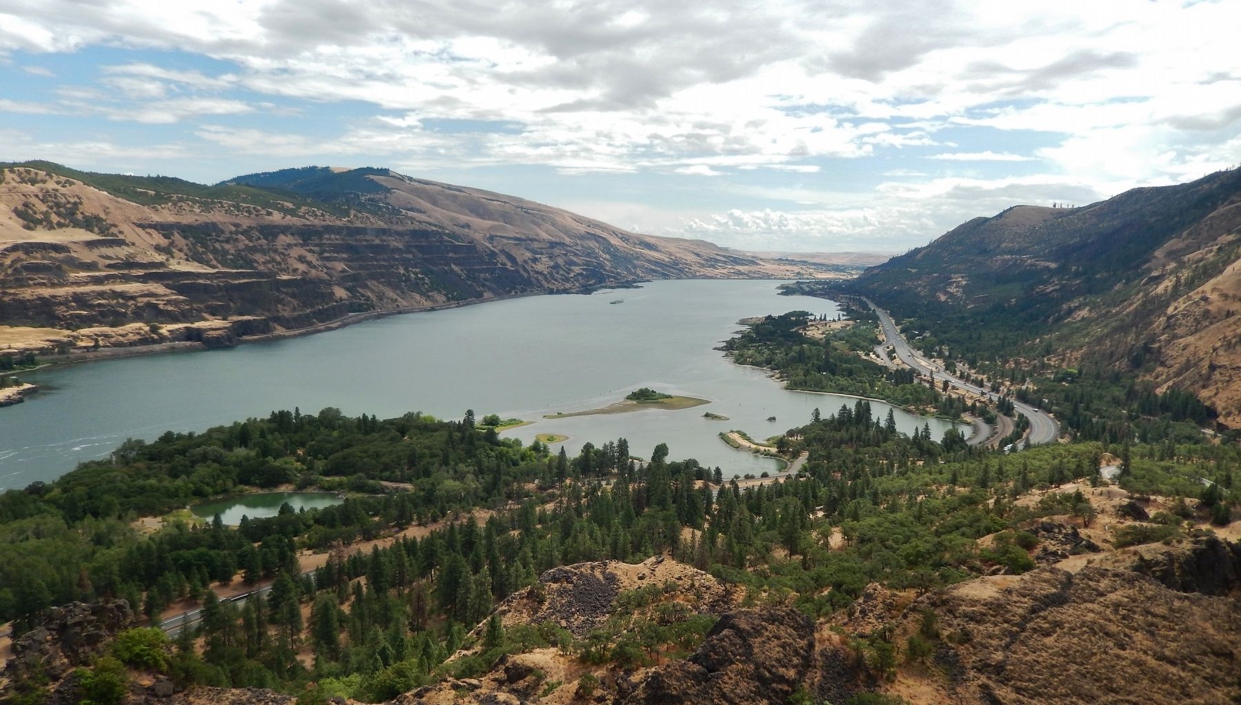
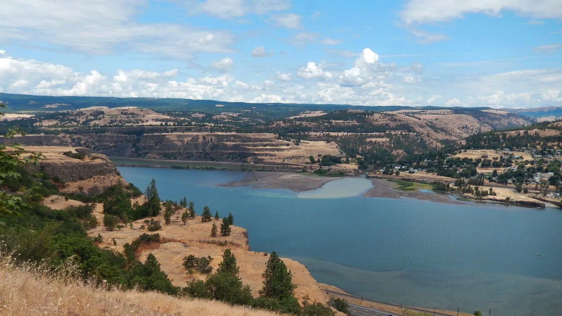
Volcanism, uplift, erosion, and human endeavor have indelibly etched the Columbia River Gorge. But cataclysmic floods during the twilight of the last Ice Age (12,000 to 15,000 years ago) affected the landscape before you more than any other terrestrial force, creating these scablands called the Rowena Plateau.
As a massive ice sheet advanced from Canada, it dammed rivers with up to 2,000 feet of glacial ice creating huge lakes across Idaho and Montana. The largest of these, 3,000 square mile glacial Lake Missoula, held over 500 cubic miles of water – half the volume of Lake Michigan. When rising waters undermined these ice dams, tremendous floods swept across the land and down the Columbia River. Torrents of water and ice raged downstream as many as 100 times, scouring away soils at elevations up to 1,000 feet.
”Imagine water blasted from a fire hose, but think of this hose as having a nozzle as wide and tall as the valleys or channels through which the flood burst. The torrent ravaged and swallowed everything that lay in its path – a cornucopia gone mad, pouring forth destruction.”
John Eliot Allen
Geologist, 1986
Topics. This historical marker is listed in these topic lists: Environment • Waterways & Vessels.
Location. 45° 40.962′ N, 121° 17.938′ W. Marker is near Mosier, Oregon, in Wasco County. Marker can be reached from Historic Columbia River Highway (U.S. 30) east of Historic Columbia River Highway (U.S. 30). Marker is located within Oregon's Mayer State Park, at the Rowena Crest Viewpoint, overlooking the Columbia River Gorge. Touch for map. Marker is in this post office area: Mosier OR 97040, United States of America. Touch for directions.
Other nearby markers. At least 8 other markers are within 5 miles of this marker, measured as the crow flies. Rowena Crest - The Rowena Loops (within shouting distance of this marker); A Fluid Geologic Past (approx. 2 miles away in Washington); Transition Zones (approx. 2 miles away in Washington); Memaloose—Island of the Dead (approx. 2.1 miles away); Memaloose Rest Area Oregon Trail Kiosk (approx. 2.2 miles away); Memaloose Overlook (approx. 2.6 miles away); The History of the Columbia River Highway (approx. 4.7 miles away); Mosier (approx. 4.7 miles away). Touch for a list and map of all markers in Mosier.
Also see . . . Glacial Lake Missoula and the Missoula Floods.
Between 80,000 years ago and 10,000 years ago ice sheets called the "Wisconsin
Glaciation" covered much of North America, including Northern Washington, Idaho, and Montana. Towards the end of this glaciation a large ice dam blocked the Clark Fork River in the Idaho Panhandle, creating "Glacial Lake Missoula".
Periodically, the ice dam would fail, resulting in a large catastrophic flood of ice- and dirt-filled water which rushed across northern Idaho and eastern and central Washington, down the Columbia River, through the Columbia River Gorge.
When Lake Missoula burst through the ice dam and exploded downstream, it did so at a rate 10 times the combined flow of all the rivers of the world. (Submitted on January 4, 2018, by Cosmos Mariner of Cape Canaveral, Florida.)
Credits. This page was last revised on January 26, 2018. It was originally submitted on January 4, 2018, by Cosmos Mariner of Cape Canaveral, Florida. This page has been viewed 237 times since then and 22 times this year. Photos: 1, 2, 3, 4, 5, 6. submitted on January 4, 2018, by Cosmos Mariner of Cape Canaveral, Florida. 7. submitted on January 17, 2018, by Cosmos Mariner of Cape Canaveral, Florida. • Bill Pfingsten was the editor who published this page.
