Merlin in Josephine County, Oregon — The American West (Northwest)
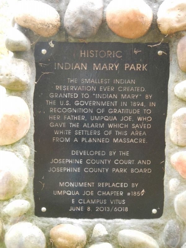
Historic Indian Mary Park
Developed by the Josephine County Court and Josephine County Park Board
Monument placed by Umpqua Joe Chapter #1856, E Clampus Vitus
June 8 2013/6018
Erected 2013 by E Clampus Vitus, Umpqua Joe Chapter #1859.
Topics and series. This historical marker is listed in these topic lists: Heroes • Native Americans • Wars, US Indian. In addition, it is included in the E Clampus Vitus series list. A significant historical date for this entry is June 8, 1894.
Location. 42° 33.126′ N, 123° 32.418′ W. Marker is in Merlin, Oregon, in Josephine County. Marker is on Merlin-Galice Road, on the right when traveling west. Touch for map. Marker is at or near this postal address: 7100 Merlin-Galice Road, Merlin OR 97532, United States of America. Touch for directions.
Other nearby markers. At least 8 other markers are within 10 miles of this marker, measured as the crow flies. Hellgate Canyon (approx. 1˝ miles away); Rogue River Wars (approx. 6.6 miles away); Gray's Ranch (approx. 6.7 miles away); Burrell M. Baucom (approx. 9.3 miles away); No Land is Free (approx. 9.3 miles away); The 1846 Applegate Trail (approx. 9.3 miles away); From Homeland to Tragedy (approx. 9.4 miles away); The Applegate Trail (approx. 10 miles away). Touch for a list and map of all markers in Merlin.
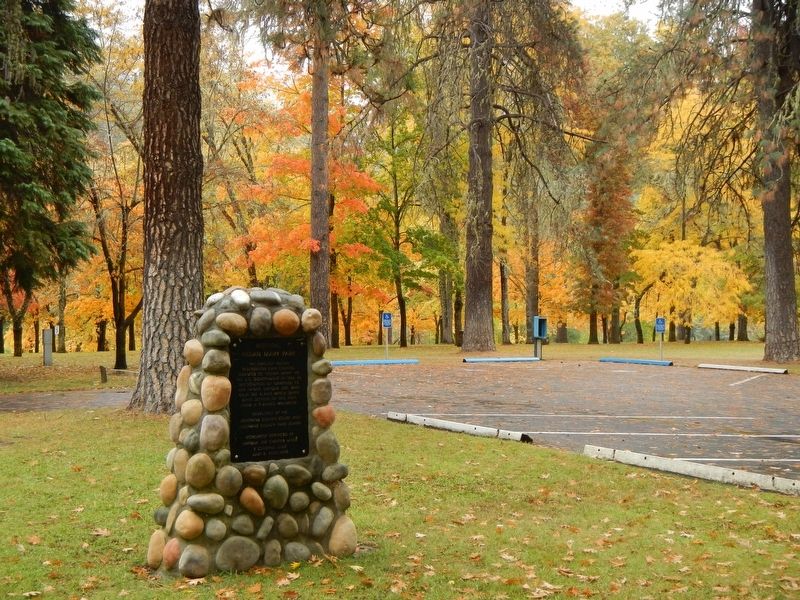
More about this marker. The marker is near the entrance booth.
Also see . . . Mary Peter - Wikipedia. Mary Peters, popularly known as "Indian Mary" ... lived on the land where her father had operated a ferry to transport miners and supplies in Southern Oregon until his death on November 13, 1886. After his death, Peters applied for a claim for the land under the Dawes Act, also known as the "Indian Homestead Act." (Submitted on January 15, 2018, by Barry Swackhamer of Brentwood, California.)
Credits. This page was last revised on October 19, 2020. It was originally submitted on January 15, 2018, by Barry Swackhamer of Brentwood, California. This page has been viewed 489 times since then and 50 times this year. Photos: 1, 2. submitted on January 15, 2018, by Barry Swackhamer of Brentwood, California.

