Merlin in Josephine County, Oregon — The American West (Northwest)
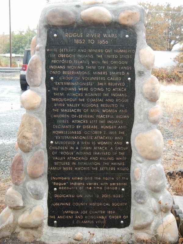
Rogue River Wars
1852 to 1856
White settlers and miners out numbers the Oregon Indians. The United States proposed treaties with the Oregon Indians moving off their lands onto reservations. Miners started a group of volunteers called "Exterminationist". They believed the Indians were going to attack them. Attacks against the Indians throughout the coastal and Rogue River Valley regions resulted in the massacrer of men, women and children of several peaceful Indian tribes. Attacks left the Indians decimated by disease, hunger and homelessness. October 7, 1855 the "Exterminationist" attacked and murdered 8 men, 15 women and children in a dawn attack. A group of "Rogue" Indians traveled up the valley attacking and killing white settlers in retaliation. The Haines family were among the settlers killed.
(Numbers killed and the name of "Rogue" Indians varies with personal accounts of the time period.)
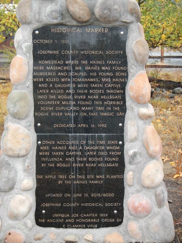
Homestead where the Haines family were massacred. Mr. Haines was found murdered and scalped, his young sons were killed with tomahawks. Mrs. Haines and a daughter were taken captive, later killed and their bodies thrown into the Rogue River near Hellsgate. Volunteer militia found the horrible scene duplicated many time in the Rogue River Valley on that tragic day.
Other accounts of the time state Mrs. Haines and a daughter whom were taken captive, later died from influenza, and there bodies found by the Rogue River near Hellsgate.
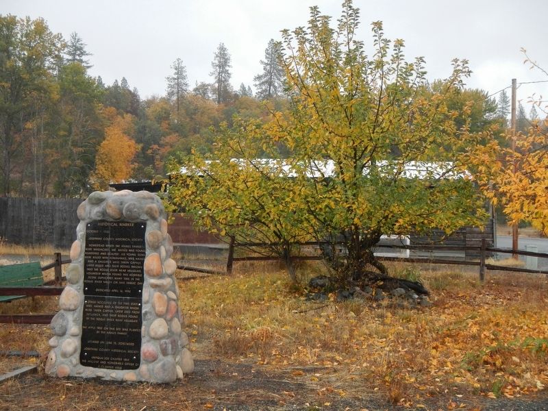
The apple tree on this site was planted by the Haines family
Erected 2015 by Josephine Historical Society and E Clampus Vitus, Umpqua Joe Chapter #1859.
Topics and series. This historical marker is listed in these topic lists: Native Americans • Settlements & Settlers • Wars, US Indian. In addition, it is included in the E Clampus Vitus series list. A significant historical date for this entry is October 9, 1855.
Location. 42° 31.044′ N, 123° 25.152′ W. Marker is in Merlin, Oregon, in Josephine County. Marker is on Haines Lane near Pleasant Valley Road, on the right when traveling south. Touch for map. Marker is at or near this postal address: 301 Haines Lane, Grants Pass OR 97526, United States of America. Touch for directions.
Other nearby markers. At least 8 other markers are within 7 miles of this marker, measured as the crow flies. Burrell M. Baucom (approx. 2.8 miles away); No Land is Free (approx. 2.9 miles away); The 1846 Applegate Trail (approx. 2.9 miles away); From Homeland to Tragedy (approx. 2.9 miles away); Hellgate Canyon (approx. 5.1 miles away); Fort Vannoy (approx. 5˝ miles away); The Oregon Cavemen (approx. 6.2 miles away); Historic Indian Mary Park (approx. 6.6 miles away). Touch for a list and map of all markers in Merlin.
More about this marker. The marker and Haines Apple Tree are at the end of Haines Lane.
Additional commentary.
1. I don't think this is the original site for this monuent
If I remember correctly, back in the day (1976 to 1984) the memorial site was just west of the rail crossing on Pleasant Valley road going into Merlin. So a few months ago we found it here down a side road off of Pleasant Valley. So did it actually get moved or am I just incorrectly remembering this?
— Submitted January 22, 2023, by Dennis Duncan of Grants Pass, Oregon.
Credits. This page was last revised on February 8, 2023. It was originally submitted on January 16, 2018, by Barry Swackhamer of Brentwood, California. This page has been viewed 550 times since then and 48 times this year. Last updated on October 17, 2019, by Travis Howerton of Grants Pass, Oregon. Photos: 1, 2, 3. submitted on January 16, 2018, by Barry Swackhamer of Brentwood, California.


