Near Interior in Jackson County, South Dakota — The American Midwest (Upper Plains)
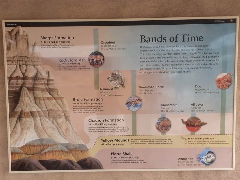
Bands of Time
Rock layers in Badlands National Park contain fossils that show a dramatic cooling and drying of global climate over millions of years. The oldest rock layers contain marine fossils, roughly 70 million years old, from when this area was underwater. Although dinosaurs lived during this time, they did not live in this area. Younger layers show evidence of cooler and drier climates. The most recent layers reveal animals and plants from an open shrubland. Today, rock layers are stripped away by erosion, exposing new fossils within these bands of time.
Sharps Formation
28 to 30 million years ago
Sediments of the Sharps Formation preserve evidence of a cool and dry shrubland.
Rockyford Ash
30 million years ago
This thick layer of volcanic ash forms the bottom layer of the Sharps formation.
Brule Formation
30 to 34 million years ago
Open woodlands preserved In the Brule Formation were direr and cooler than those in the Chadron Formation. In some areas water was hard to find.
Chadron Formation
34 to 37 million years ago Sediments carried by streams and rivers flowing from the Black Hills created this formation. These sediments were deposited in a hot and humid forest flood plain.
Yellow Mounds
67 to 75 million years ago
After the sea drained away, the black ocean mud was exposed to surface weathering. The upper layers of this mud developed into a yellow soil called Yellow Mounds.
Pierre Shale
67 to 75 million years ago
This formation first began to form 75 million years ago when a shallow sea covered this area.
Oreodont
Leptauchenia
28 to 32 million years ago
Nimravid
Nimravus
30 to 32 million years ago
Three-toed Horse
Mesohippus
30 to 37 million years ago
Dog
Hesperocyon
28 to 37 million years ago
Titanothere
Brontops
34 to 37 million years ago
Alligator
Alligator
34 to 37 million years ago
Ammonite
Placenticeras
67 to 75 million years ago
Erected by Badlands National Park, National Park Service, U.S. Department of the Interior.
Topics. This historical marker is listed in these topic lists: Environment • Paleontology • Parks & Recreational Areas.
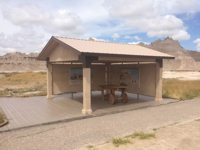
Location. 43° 46.336′ N, 102° 0.193′ W. Marker is near Interior, South Dakota, in Jackson County. Marker is on State Highway 240. This marker is part of the Fossil Trail Exhibit. The Fossil Trail Exhibit is located 5 miles west of the Ben Reifel Visitor Center. Touch for map. Marker is in this post office area: Interior SD 57750, United States of America. Touch for directions.
Other nearby markers. At least 8 other markers are within walking distance of this marker. What a Find! (here, next to this marker); Under the Sea (within shouting distance of this marker); Titanic Discovery (within shouting distance of this marker); See Ya Later, Alligator (within shouting distance of this marker); Off to the Races (within shouting distance of this marker); A 75-Million-Year Walk (within shouting distance of this marker); Fight for Survival (within shouting distance of this marker); Dying to Become a Fossil (within shouting distance of this marker). Touch for a list and map of all markers in Interior.
Related markers. Click here for a list of markers that are related to this marker.
Also see . . . Badlands National Park. (Submitted on January 21, 2018, by Ruth VanSteenwyk of Aberdeen, South Dakota.)
Credits. This page was last revised on January 23, 2018. It was originally submitted on January 21, 2018, by Ruth VanSteenwyk of Aberdeen, South Dakota. This page has been viewed 248 times since then and 18 times this year. Photos: 1, 2. submitted on January 21, 2018, by Ruth VanSteenwyk of Aberdeen, South Dakota. • Andrew Ruppenstein was the editor who published this page.

