St. Helens in Columbia County, Oregon — The American West (Northwest)
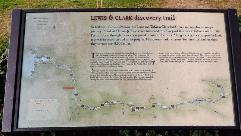
Lewis & Clark Discovery Trail
In 1804-06, Captains Meriwether Lewis and William Clark led 31 men and one dog on an epic journey. President Thomas Jefferson commissioned this "Corps of Discovery" to find a route to the Pacific Ocean through the newly acquired Louisiana Territory. Along the way, they mapped the land, recorded its resources and native peoples. The journey took two years, four months, and ten days; they covered over 8,000 miles.
The Corps of Discovery reached the Columbia River – at its Confluence with the Snake River – on October 16, 1805. They descended the Columbia in five dugout canoes leaving behind an almost treeless desert climate and entering a world of lush green vegetation – fir, spruce, ash, and alder trees – lining the riverbanks and covering the hills. The expedition followed the Columbia the final 325 (river) miles to the Pacific. They first noticed tidal influence at Beacon Rock.
The Corps passed the rocky bluff, today's site of St. Helens on November 4, 1805. Violent weather, however, pinned the party down along the river's banks, west of St. Helens, for days. The last sixteen miles down the Columbia to the Pacific Ocean took ten days due to the bad weather. The explorers huddled among the rocks and driftwood of the river's north shore (Washington) for nearly three weeks before taking the historic vote on November 24, 1805, to spend the winter on the south shore (Oregon). The explorers arrived to establish winter quarters at Fort Clatsop on December 7, 1805, where they spent a long, dreary, wet winter. The parry departed for home on March 23, 1806, and passed through the St. Helens area again in late March 1806.
Topics and series. This historical marker is listed in these topic lists: Exploration • Native Americans • Waterways & Vessels. In addition, it is included in the Lewis & Clark Expedition series list. A significant historical year for this entry is 1805.
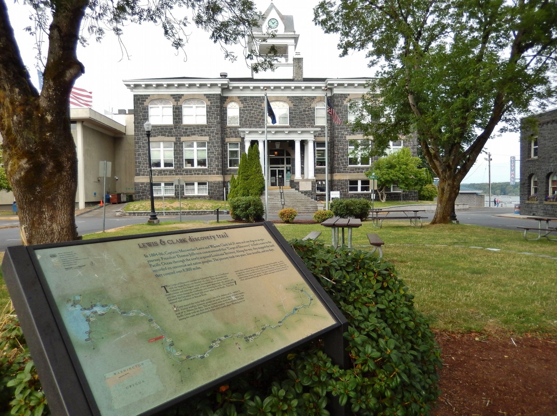
Location. 45° 51.79′ N, 122° 47.855′ W. Marker is in St. Helens, Oregon, in Columbia County. Marker is on Yachts Landing west of The Strand, on the left when traveling west. Marker is located in Plaza Square, west of the old Columbia County Courthouse building. Touch for map. Marker is in this post office area: Saint Helens OR 97051, United States of America. Touch for directions.
Other nearby markers. At least 8 other markers are within 9 miles of this marker, measured as the crow flies. down the trodden path... (a few steps from this marker); Warrior Rock Fog Bell (within shouting distance of this marker); Woodland Community Veterans Memorial (approx. 3.6 miles away in Washington); Early Highway of the West (approx. 7.2 miles away in Washington); Fort Vancouver (approx.
7.2 miles away in Washington); The Finn Hall (approx. 7˝ miles away in Washington); Thomas McKay (approx. 8.8 miles away); Lewis and Clark on the Columbia (approx. 8.8 miles away). Touch for a list and map of all markers in St. Helens.
Related markers. Click here for a list of markers that are related to this marker.
Also see . . .
1. The Oregon Trail and the Lewis and Clark Expedition.
The history of the Oregon Trail dates back to 1804 when President Jefferson had hoped to find an "easy" route through the Rocky Mountains to discover a water route to the Pacific, via the Missouri, Columbia, Oregon or Colorado rivers as a direct and practicable water communication across the continent. In addition to this, his goal was to explore new territory; unfamiliar territory that was purchased by the U.S.- the Louisiana purchase. Jefferson chose Meriwether Lewis to lead the expedition and Lewis asked William Clark to be his co-leader. The expedition to study Indian tribes, botany, geology Western terrain and wildlife began in May of 1804 with only 33 men, just west of the Missouri River. (Submitted on January 22, 2018, by Cosmos Mariner of Cape Canaveral, Florida.)
2. Lewis & Clark Expedition.
With journals in hand, Lewis, Clark, and the other members of the Expedition returned to St. Louis by September 1806 to report their findings to Jefferson. Along the way, they continued to trade what few goods they still had with the Indians and set up diplomatic relations with the Indians. Additionally, they recorded their contact with Indians and described (and at times drew) the shape of the landscape and the creatures of this western world, new to the white man. In doing so, they fulfilled many of Jefferson's wishes for the Expedition. Along the way, William Clark drew a series of maps that were remarkably detailed, noting and naming rivers and creeks, significant points in the landscape, the shape of river shore, and spots where the Corps spent each night or camped or portaged for longer periods of time. (Submitted on January 22, 2018, by Cosmos Mariner of Cape Canaveral, Florida.)
Credits. This page was last revised on October 14, 2020. It was originally submitted on January 21, 2018, by Cosmos Mariner of Cape Canaveral, Florida. This page has been viewed 348 times since then and 19 times this year. Photos: 1. submitted on January 21, 2018, by Cosmos Mariner of Cape Canaveral, Florida. 2. submitted on January 22, 2018, by Cosmos Mariner of Cape Canaveral, Florida. • Bill Pfingsten was the editor who published this page.

