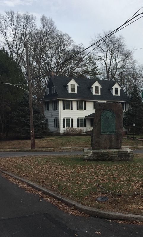
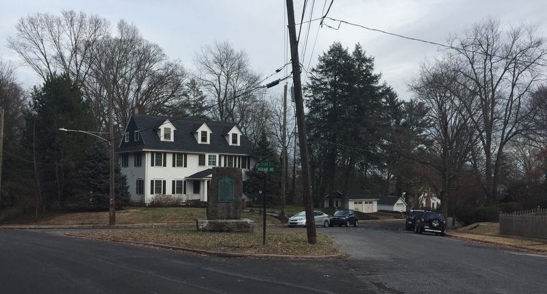
Near Morrisville in Bucks County, Pennsylvania — The American Northeast (Mid-Atlantic)
Gray Stones
The first tract of land purchased by William Penn
— Starting point of the Indian Walk of 1737 —
Near this spot stood the white oak tree that marked the starting point of the survey of the first tract of land purchased of the Indians by William Penn July 15, 1682 on land in the tenure of John Wood and by him called Gray Stones over against the falls of the Delaware comprising all the land lying between the river Delaware and Neshaminy Creek south of a line drawn from the river at a point near the mouth of the Knowles creek nine miles north of here to the said Neshaminy Creek this line being the starting point of the Indian Walk of 1737
Erected and dedicated July 4, 1929 by the Bucks County Historical Society and citizens of this vicinity
Erected 1929 by The Bucks County Historical Society and citizens of the vicinity.
Topics. This historical marker is listed in these topic lists: Colonial Era • Native Americans • Settlements & Settlers.
Location. 40° 13.086′ N, 74° 47.161′ W. Marker is near Morrisville, Pennsylvania, in Bucks County. Marker is at the intersection of Highland Avenue and Crown Street, in the median on Highland Avenue. Touch for map. Marker is in this post office area: Morrisville PA 19067, United States of America. Touch for directions.
Other nearby markers. At least 8 other markers are within walking distance of this marker . Lincoln Highway Delaware River (approx. 0.3 miles away); The Hermitage (approx. 0.6 miles away in New Jersey); Emlen House (approx. 0.7 miles away in New Jersey); Trenton 1790–1834 (approx. ¾ mile away in New Jersey); Summerseat (approx. ¾ mile away); a different marker also named Summerseat (approx. ¾ mile away); George Washington White Oak (approx. 0.8 miles away in New Jersey); New Jersey State House Annex Dedication (approx. 0.8 miles away in New Jersey). Touch for a list and map of all markers in Morrisville.
Related markers. Click here for a list of markers that are related to this marker.
Also see . . .
1. Land Walking Purchase ~ Wikipedia. (Submitted on January 30, 2018, by Keith S Smith of West Chester, Pennsylvania.)
2. ~ Exploring PA History - info from another marker. (Submitted on January 30, 2018, by Keith S Smith of West Chester, Pennsylvania.)
Credits. This page was last revised on February 5, 2018. It was originally submitted on January 30, 2018, by Keith S Smith of West Chester, Pennsylvania. This page has been viewed 564 times since then and 145 times this year. Photos: 1, 2, 3. submitted on January 30, 2018, by Keith S Smith of West Chester, Pennsylvania. • Andrew Ruppenstein was the editor who published this page.


