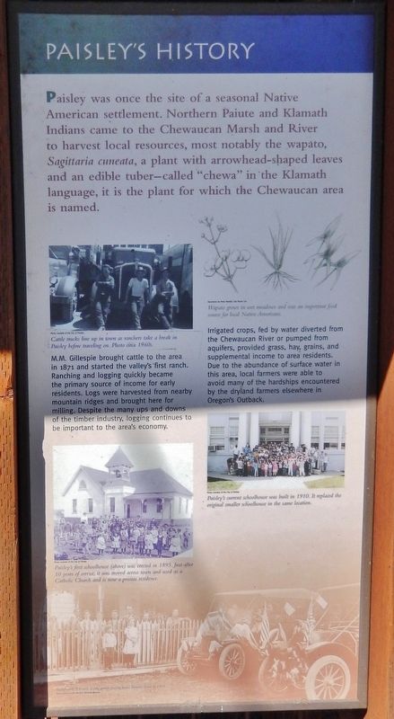
Paisley in Lake County, Oregon — The American West (Northwest)
Paisley's History
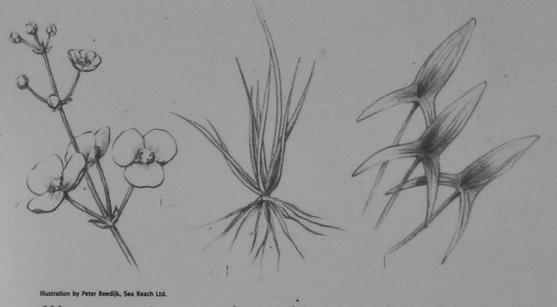
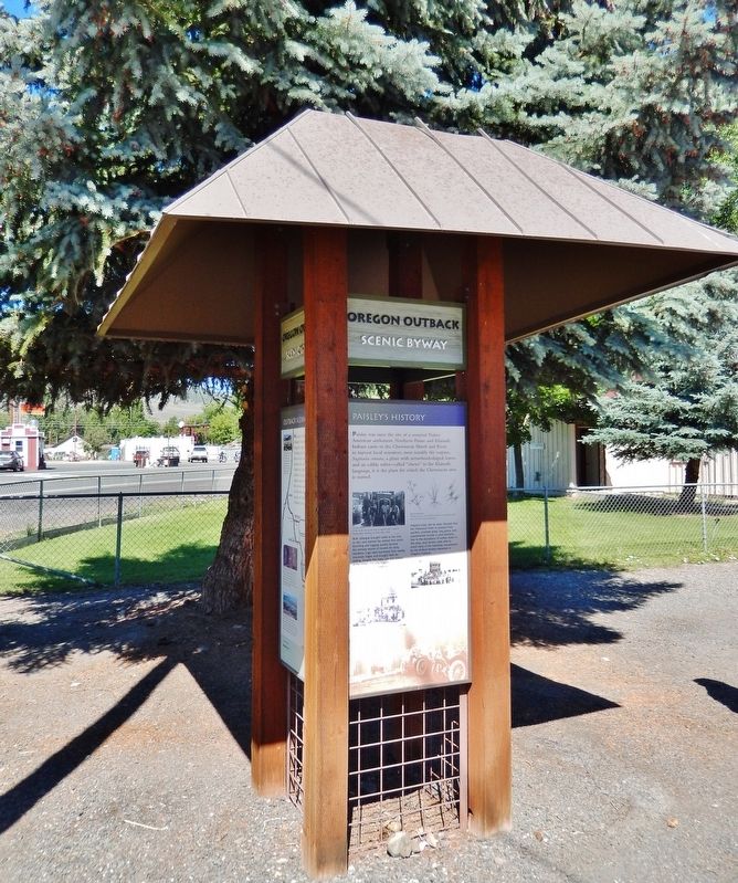
Paisley was once the site of a seasonal Native American settlement. Northern Paiute and Klamath Indians came to the Chewaucan Marsh and River to harvest local resources, most notably the wapato, Silgittaria cuneata, a plant with arrowhead-shaped leaves and an edible tuber – called "chewa" in the Klamath language, it is the plant for which the Chewaucan area is named.
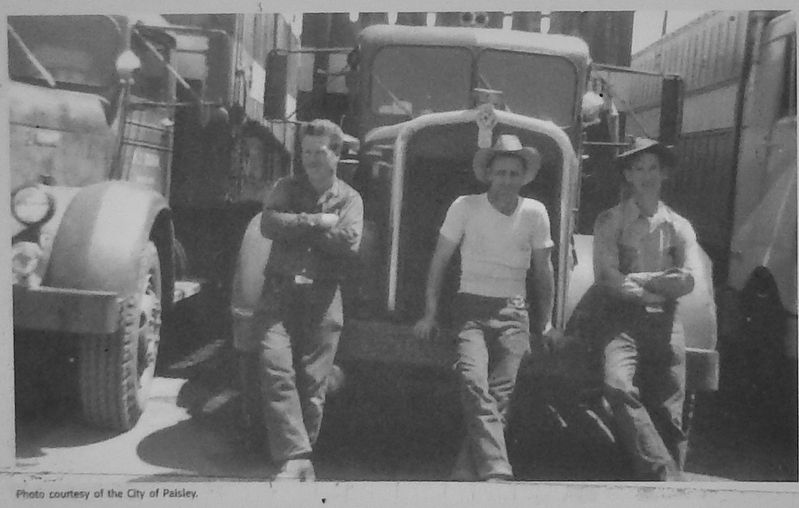
M.M. Gillespie brought cattle to the area in 1871 and started the valley's first ranch. Ranching and logging quickly became the primary source of income for early residents. Logs were harvested from nearby mountain ridges and brought here for milling. Despite the many ups and downs of the timber industry, logging continues to be important to the area’s economy.
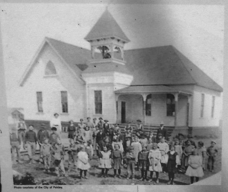
Irrigated crops, fed by water diverted from the Chewaucan River or pumped from aquifers, provided grass, hay, grains, and supplemental income to area residents. Due to the abundance of surface water in this area, local farmers were able to avoid many of the hardships encountered by the dryland farmers elsewhere in Oregon's Outback.
Topics. This historical marker is listed in these topic lists: Agriculture • Horticulture & Forestry • Industry & Commerce • Native Americans.
Location. 42° 41.58′ N, 120° 32.691′ W. Marker is in Paisley, Oregon, in Lake County. Marker is at the intersection of Fremont Highway (Oregon Route 31) and Chewaucan Street, on the right when traveling north on Fremont Highway. Marker is located within the Oregon Outback Scenic Byway kiosk, just north of the highway on the west side of Chewaucan Street. Touch for map. Marker is in this post office area: Paisley OR 97636, United States of America. Touch for directions.
Other nearby markers. At least 2 other markers are within walking distance of this marker. Ranching - A way of Life (here, next to this marker); Paisley United Methodist Church (about 400 feet away, measured in a direct line).
Also see . . .
1. Paisley, Oregon History. There are two theories regarding the origin of the name "Paisley". One story says that Charles Mitchell Innes, from Scotland, named the place for Paisley in his home country, in about 1873. Another informant stated that the place was named by Samuel G. Steele, also a native of Scotland. Steele was the first postmaster of the Paisley post office, which was established in 1879. (Submitted on February 5, 2018, by Cosmos Mariner of Cape Canaveral, Florida.)
2. Sagittaria cuneata - Native American ethnobotany.
The Cheyenne give dried leaves to horses for urinary troubles and for a sore mouth. The Klamath use the rootstocks as food. The Menominee string the dried, boiled, sliced potatoes together for
winter use.
The Ojibwe eat the corms for indigestion, and also as a food, eaten boiled fresh, dried or candied with maple sugar.
The Paiute use the roots for food.
The indigenous people of Montana use eat the tubers raw and boiled. (Submitted on February 5, 2018, by Cosmos Mariner of Cape Canaveral, Florida.)
3. The 1870s in Lake County.
"Lake County was a wonderful stock country when I went there in 1878. What there was was log houses. They was perty rough, with plenty of corrals about. Once a week we got the mail, brought out to Silver Lake by team an' buckboard. Paisley was the nearest town. It was sixty miles to Paisley and it had only about 200 people, but it had saloons. When the boys wanted them a time they went to Paisley..." (Submitted on February 5, 2018, by Cosmos Mariner of Cape Canaveral, Florida.)
Credits. This page was last revised on February 6, 2018. It was originally submitted on February 5, 2018, by Cosmos Mariner of Cape Canaveral, Florida. This page has been viewed 600 times since then and 68 times this year. Photos: 1, 2, 3, 4, 5, 6. submitted on February 5, 2018, by Cosmos Mariner of Cape Canaveral, Florida. • Andrew Ruppenstein was the editor who published this page.
