Near Manzanita in Tillamook County, Oregon — The American West (Northwest)
Oswald West
Inscription.
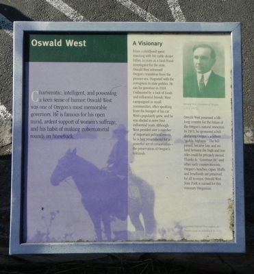
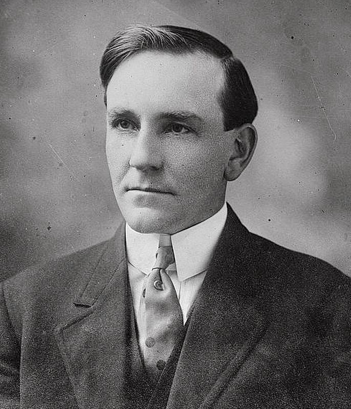
Charismatic, intelligent, and possessing a keen sense of humor, Oswald West was one of Oregonís most memorable governors. He is famous for his open mind, ardent support of womenís suffrage, and his habit of making gubernatorial rounds on horseback.
A Visionary
From a childhood spent traveling with his cattle-dealer father, to years as a land-fraud investigator for the state, Oswald West witnessed Oregonís transition from the pioneer era. Disgusted with the corruption in state politics, he ran for governor in 1910. Undaunted by a lack of funds and influential friends, West campaigned in small communities, often speaking from the bumper of his car. Westís popularity grew, and he was elected to serve four influential years. Although West presided over a number of important political events, he is best remembered for a powerful act of conservation - the preservation of Oregonís tidelands.
Oswald West possessed a life-long concern for the future of the Oregonís natural resources. In 1913, he sponsored a bill declaring Oregonís seashore “public highway.” The bill passed, became law, and no land between the high and low tides could be privately owned. Thanks to “Governor Oz” and other early conservationists, Oregonís beaches, capes, bluffs, and headlands are preserved for all to enjoy. Oswald West State Park is named for this visionary Oregonian.
Erected by Oregon Department of Transportation.
Topics. This historical marker is listed in these topic lists: Animals • Civil Rights • Women.
Location. 45° 44.673′ N, 123° 57.64′ W. Marker is near Manzanita, Oregon, in Tillamook County. Marker is on Oregon Coast Highway (U.S. 101) near Meadow Loop, on the left when traveling north. Touch for map. Marker is in this post office area: Manzanita OR 97130, United States of America. Touch for directions.
Other nearby markers. At least 8 other markers are within walking distance of this marker. Neahkahnie Mountain (here, next to this marker); Roosevelt Elk (here, next to this marker); In Harmony with Nature (here, next to this marker); a different marker also named Oswald West (here, next to this marker); Safety and Beauty (about 700 feet away, measured in a direct line); From Footpath to Highway (about 700 feet away); The First People (about 800 feet away); Uncanny Neahkahnie (about 800 feet away). Touch for a list and map of all markers in Manzanita.
Credits. This page was last revised on December 3, 2019. It was originally submitted on February 5, 2018, by Barry Swackhamer of Brentwood, California. This page has been viewed 182 times since then and 22 times this year. Photos: 1, 2. submitted on February 5, 2018, by Barry Swackhamer of Brentwood, California. 3. submitted on February 5, 2018.


