Coos Bay in Coos County, Oregon — The American West (Northwest)
Transportation
(right panel)
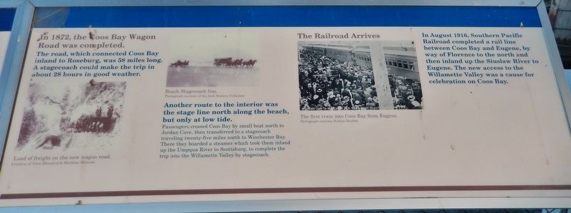
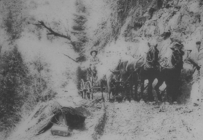
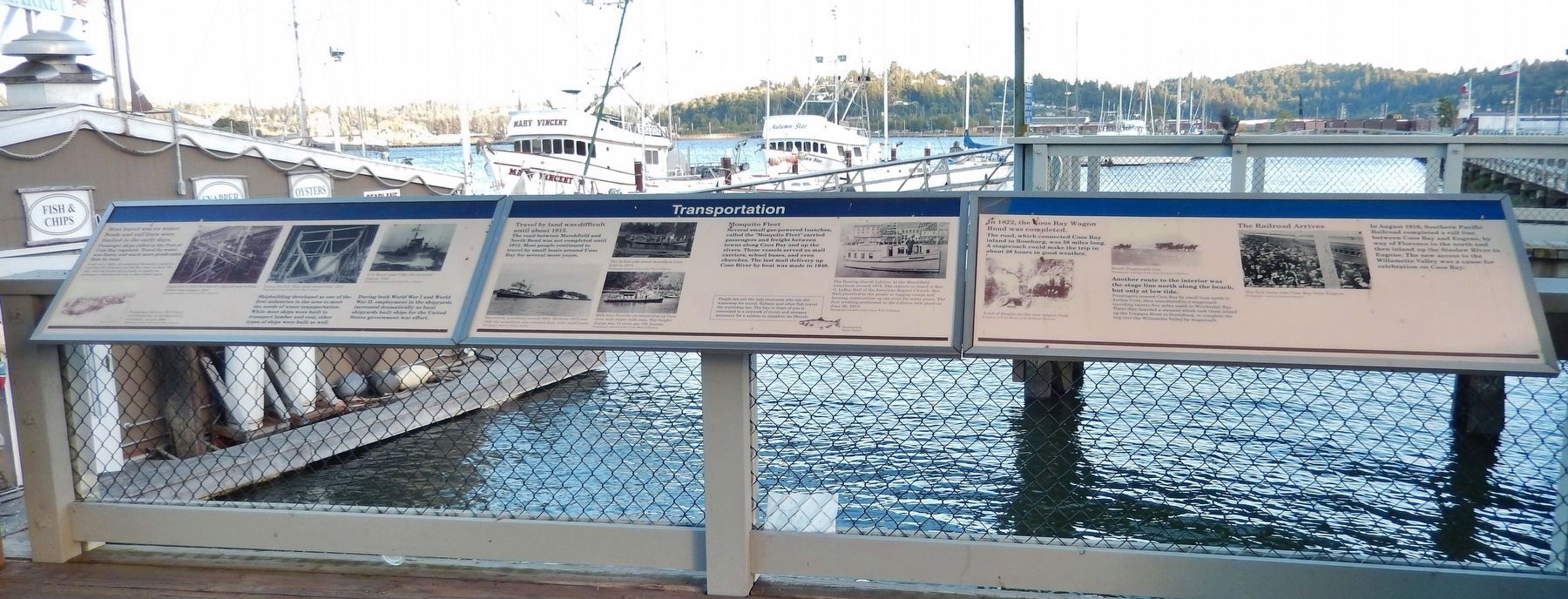
In 1872, the Coos Bay Wagon Road was completed.
The road, which connected Coos Bay Roseburg, was 58 miles long. A stagecoach could make the trip in about 28 hours in good weather.
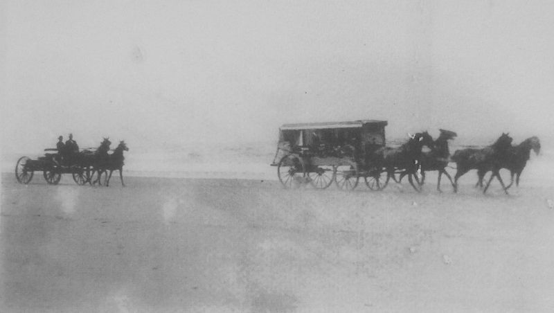
Another route to the interior was the stage line north along the beach, but only at low tide. Passengers crossed Coos Bay by small boat north to Jordan Cove, then transferred to a stagecoach traveling twenty-five miles north to Winchester Bay. There they boarded a steamer which took them inland up the Umpqua River to Scottsburg, to complete the trip into the Willamette Valley by stagecoach.
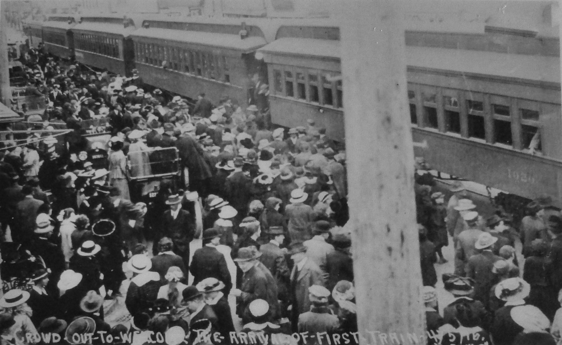
The Railroad Arrives
In August 1916, Southern Pacific Railroad completed a rail line between Coos Bay and Eugene, by way of Florence to the north end then inland up the Siuslaw River to Eugene. The new access to the Willamette Valley was a cause for celebration on Coos Bay.
Topics. This historical marker is listed in these topic lists: Railroads & Streetcars • Roads & Vehicles • Waterways & Vessels.
Location. 43° 22.045′ N, 124° 12.727′ W. Marker is in Coos Bay, Oregon, in Coos County. Marker is on Oregon Coast Highway (U.S. 101) north of Anderson Avenue, on the right when traveling north. Marker is located in an interpretive kiosk along the Coos Bay Board Walk. This marker is the right panel of a set of three related markers. Touch for map. Marker is in this post office area: Coos Bay OR 97420, United States of America. Touch for directions.
Other nearby markers. At least 8 other markers are within walking distance of this marker. A different marker also named Transportation (here, next to this marker); a different marker also named Transportation (here, next to this marker); The Changing Waterfront (here, next to this marker); a different marker also named The Changing Waterfront (here, next to this marker); a different marker also named The Changing Waterfront (a few steps from this marker); Welcome to the Oregon Coast (within shouting distance of this marker); Shipping (within shouting distance of this marker); Koos No. 2 (within shouting distance of this marker). Touch for a list and map of all markers in Coos Bay.
Related markers. Click here for a list of markers that are related to this marker. Coos Bay Transportation
Also see . . .
1. Central Oregon and Pacific Railroad.
The Coos Bay Line was completed by the Southern Pacific Railroad and opened for traffic in 1916. Originally, the line went from Eugene to Powers via the communities of Veneta, Noti, Swisshome, Mapleton, Cushman, Canary, Reedsport, Lakeside, Hauser, North Bend, Coos Bay, Coquille and Myrtle Point. According to a timetable dating 1920, four through passenger trains and a local between North Bend and Myrtle Point made up passenger
service in the line. Passenger service ended on June 4, 1953, after many years of only one running passenger train nicknamed "The Owl." (Submitted on February 16, 2018, by Cosmos Mariner of Cape Canaveral, Florida.)
2. Drain–Coos Bay stage line.
The Drain–Coos Bay stage line was a stagecoach line that operated an overland and marine transportation line that connected the interior of southern Oregon with Coos Bay from 1876 to 1916. By March 27, 1915, automobiles were being used along the beach route. Stage service on the beach run ended in April 1916, when a railroad was completed linking Reedsport and Coos Bay. (Submitted on February 16, 2018, by Cosmos Mariner of Cape Canaveral, Florida.)
3. The Old Coos Bay Wagon Road.
When the transcontinental railroad opened in 1869 people expected it to kill the large and profitable wagon and stage trade. Instead, the wagon and stage lines congregated around the railheads and created links to the surrounding settlements. These included the Coos Bay Wagon Road, new-built in 1872, running from the Roseburg depot to the southeastern end of Coos Bay's natural harbor. (Submitted on February 16, 2018, by Cosmos Mariner of Cape Canaveral, Florida.)
Credits. This page was last revised on February 19, 2018. It was originally submitted on February 16, 2018, by Cosmos Mariner of Cape Canaveral, Florida. This page has been viewed 501 times since then and 40 times this year. Photos: 1, 2, 3, 4, 5. submitted on February 16, 2018, by Cosmos Mariner of Cape Canaveral, Florida. • Bill Pfingsten was the editor who published this page.
