Port Jefferson in Suffolk County, New York — The American Northeast (Mid-Atlantic)
The Anchor of Our Community
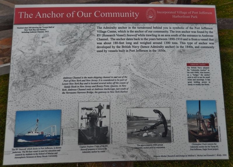
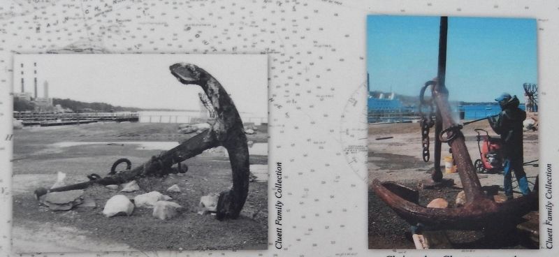
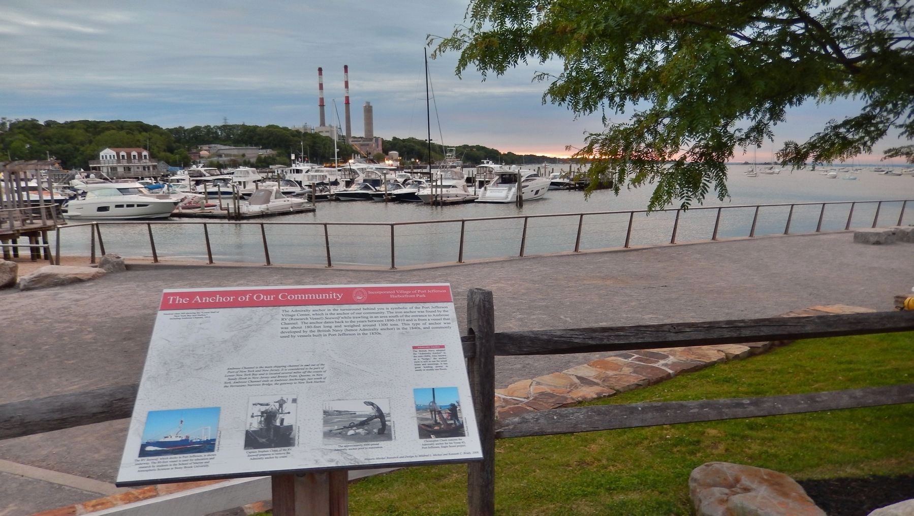
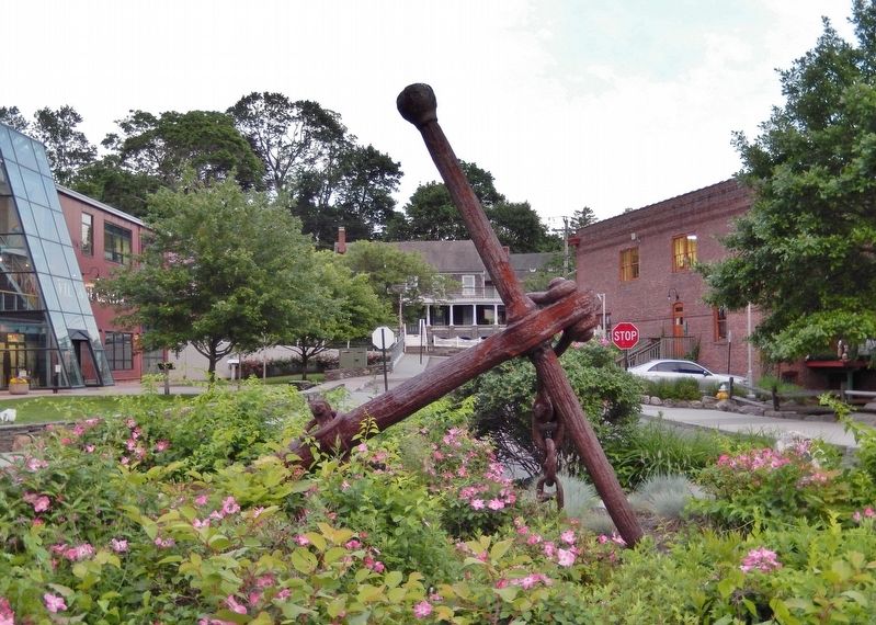
The Admiralty anchor in the turnaround behind you is symbolic of the Port Jefferson Village Center, which is the anchor of our community. The iron anchor was found by the / RV (Research Vessel) Seawolf while trawling in an area south of the entrance to Ambrose Channel. The anchor dates back to the years between 1890-1910 and is from a vessel that was about 180-feet long and weighed around 1300 tons. This type of anchor was developed by the British Navy (hence Admiralty anchor) in the 1840s, and commonly used by vessels built in Port Jefferson in the 1850s.
Admiralty Anchor
The British Navy adopted the "Admiralty Anchor" in the mid-1840s. Also known as a "kedge," the anchor style is still in use for small boats and moorings. It has great holding power in sandy or muddy sea floors.
Ambrose Channel is the main shipping channel in and out of the Port of New York and New Jersey. It is considered to be part of Lower New York Bay and is located several miles off the coasts of Sandy Hook in New Jersey and Breezy Point, Queens, in New York. Ambrose Channel ends at Ambrose Anchorage, just south of the Verrazano Narrows Bridge, the gateway to New York Harbor.
Harborfront Park
Historic Marker Research and Design by Mildred L. Michos and Kenneth C. Brady. 2008.
Topics. This historical marker is listed in these topic lists: Man-Made Features • Notable Places • Waterways & Vessels.
Location. 40° 56.928′ N, 73° 4.065′ W. Marker is in Port Jefferson, New York, in Suffolk County. Marker is on Pass Way north of East Broadway, on the right. Marker is located in the turnaround at the center of Port Jefferson's Harborfront Park, near the Admiralty Anchor, overlooking the harbor. Touch for map. Marker is at or near this postal address: 101 East Broadway, Port Jefferson NY 11777, United States of America. Touch for directions.
Other nearby markers. At least 8 other markers are within 2 miles of this marker, measured as the crow flies. Well-Worn Ways (within shouting distance of this marker); Delivered Afloat in the Harbor (within shouting distance of this marker); Bayles Chandlery (within shouting distance of this marker); "Bucket of Blood" (about 400 feet away, measured in a direct line); First Baptist Church of Port Jefferson (approx. 0.2 miles away); Culper Spy Ring (approx. 0.3 miles away); Roe Tavern (approx. 1.6 miles away); Setauket School (approx. 1.9 miles away). Touch for a list and map of all markers in Port Jefferson.
Also see . . . History of the anchor. Wikipedia entry:
After 1852 the British admiralty anchor was supplied to H.M. ships. (Submitted on March 8, 2018, by Cosmos Mariner of Cape Canaveral, Florida.)
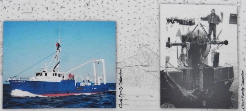
Photos courtesy of the Cluett Family Collection
2. Marker detail: RV Seawolf Admiralty anchor recovery
The RV Seawolf, which docks in Port Jefferson, is shown underway. The 80-foot vessel is used for education and research by students in the School of Marine and Atmospheric Sciences at Stony Brook University.
Captain Stephen Cluett of the RV Seawolf prepares to remove the Admiralty anchor by crane.
Captain Stephen Cluett of the RV Seawolf prepares to remove the Admiralty anchor by crane.
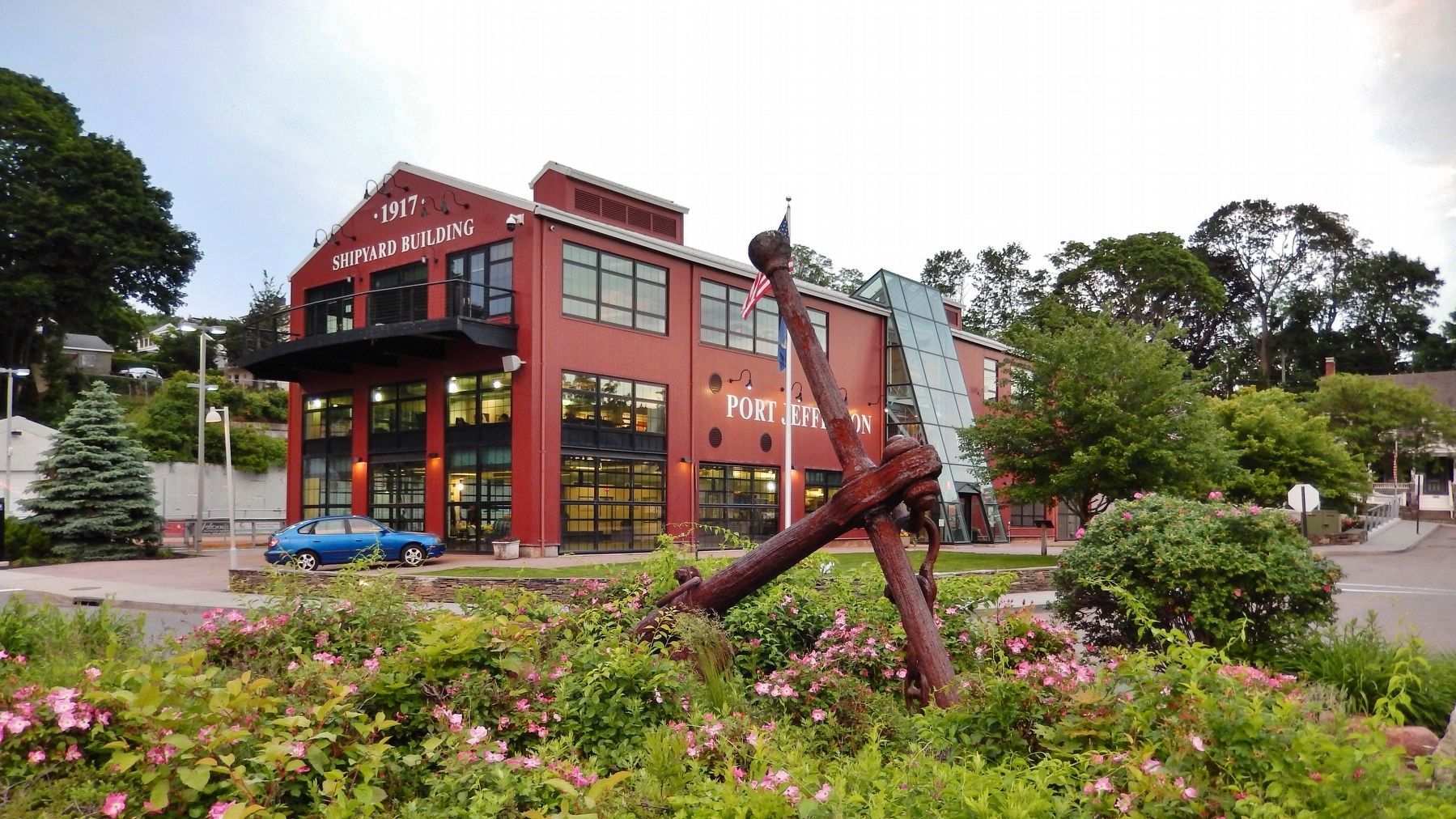
Photographed By Cosmos Mariner, June 8, 2017
6. Admiralty Anchor & 1917 Shipyard Building (directly behind marker)
"R/V Seawolf Discovery and Eagle Scout Project Becomes Port Jefferson Landmark."
The R/V Seawolf, flagship of the Marine Sciences Research Center, with Captain Steve Cluett at the wheel, “caught” the anchor on the last tow of the first trawl trip for the New Jersey Dept of Envir. Protection Division of Fish and Wildlife. This link tells the full story of the anchor's "capture" and recovery.
Click for more information.
Credits. This page was last revised on October 1, 2021. It was originally submitted on March 8, 2018, by Cosmos Mariner of Cape Canaveral, Florida. This page has been viewed 198 times since then and 17 times this year. Photos: 1, 2, 3, 4, 5, 6. submitted on March 8, 2018, by Cosmos Mariner of Cape Canaveral, Florida. • Andrew Ruppenstein was the editor who published this page.
