Rock Creek Park in Northwest Washington in Washington, District of Columbia — The American Northeast (Mid-Atlantic)
Herring Highway
Rock Creek Park
— National Park Service, U.S. Department of the Interior —
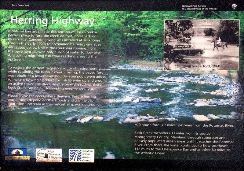
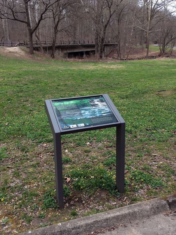
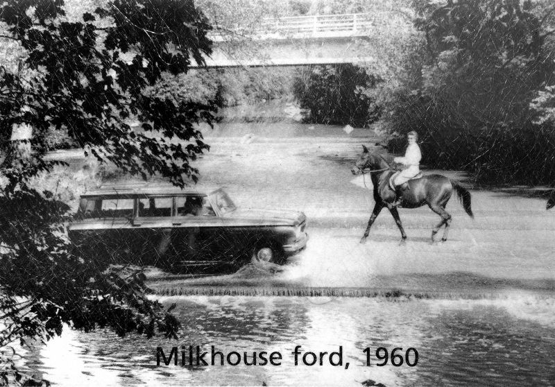
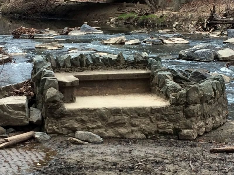
A natural low area made this portion of Rock Creek a perfect place to ford the creek on foot, horseback or by carriage. Concrete paving was installed at Milkhouse Ford in the early 1900s to accommodate heavy carriages and automobiles. Unless the creek was running high, the pavement allowed only 1 inch of water to flow over it, blocking migrating fish from reaching areas further upstream.
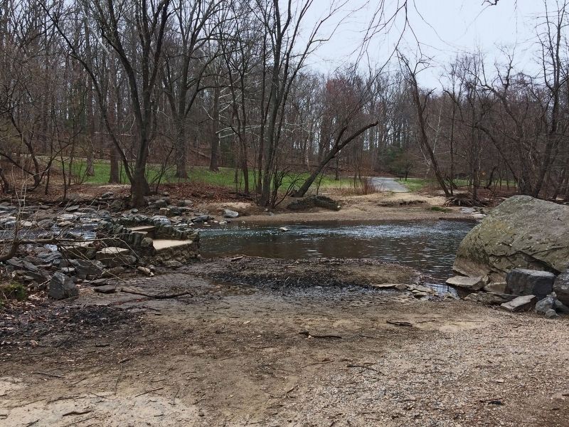
To restore the ancient migratory route of native herring while restoring the historic creek crossing, the paved ford was rebuilt at a lower level. Boulder step pools were added to make a flowing “ladder” for fish to swim up and around an active sewer line. Because of alterations such as these Rock Creek can be a “Herring Highway” once more.
Please leave the rocks where they are. Future Herring populations depend on these pools and channels for migration upstream in their ancestral spawning ground.
Milkhouse ford is 7 miles upstream from the Potomac River.
Rock Creek meanders 33 miles from its source is Montgomery County, Maryland through suburban and densely populated urban areas until it reaches the Potomac River. From there the water continues to flow southeast 112 miles to the Chesapeake Bay and another 80 miles to the Atlantic Ocean.
Erected by National Park Service, U.S. Department of the Interior.
Topics. This historical marker is listed in these topic lists: Animals • Roads & Vehicles • Waterways & Vessels.
Location. 38° 57.907′ N, 77° 2.879′ W. Marker is in Northwest Washington in Washington, District of Columbia. It is in Rock Creek Park. Marker is on Beach Drive Northwest south of Bingham Drive Northwest, on the right when traveling south. This marker is in Rock Creek Park near Beach Drive Northwest. Touch for map. Marker is in this post office area: Washington DC 20012, United States of America. Touch for directions.
Other nearby markers. At least 8 other markers are within walking distance of this marker. Tupelo Tree (about 600 feet away, measured in a direct line); Fort DeRussy (approx. 0.2 miles away); a different marker also named Fort DeRussy (approx. 0.2 miles away); Fort De Russy (approx. 0.3 miles away); A Garden Protecting Rock Creek (approx. 0.4 miles away); a different marker also named Herring Highway (approx. 0.6 miles away); Early Entrepreneurs (approx. 0.8 miles away); An African American Enclave (approx. 0.8 miles away). Touch for a list and map of all markers in Northwest Washington.
Credits. This page was last revised on January 30, 2023. It was originally submitted on April 9, 2018, by Allen C. Browne of Silver Spring, Maryland. This page has been viewed 232 times since then and 27 times this year. Photos: 1, 2, 3, 4, 5. submitted on April 9, 2018, by Allen C. Browne of Silver Spring, Maryland. • Bill Pfingsten was the editor who published this page.
