Ilwaco in Pacific County, Washington — The American West (Northwest)
A Disastrous Year
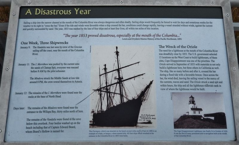
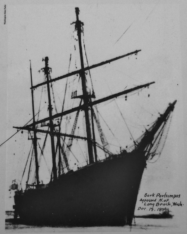
Sailing a ship into the narrow channel at the mouth of the Columbia River was always dangerous and often deadly. Sailing ships would frequently be forced to wait for days and sometimes weeks for the weather to be right to "cross the bar." Even if the tide and winds were favorable when a ship crossed the bar, conditions could change rapidly, leaving a vessel stranded without winds, against the current and quickly surrounded by sand. The year, 1853 was marked by the loss of four ships and at least four lives, all within ten miles of this location.
Lewis and Dryden's Marine History of the Pacific Northwest, 1895
One Week, Three Shipwrecks
January 9: The Vandalia was last seen by crew of the Grecian sailing off the coast, near the mouth of the Columbia River.
January 11: The I. Merrithew was pushed by the current onto the sands of Clatsop Spit, everyone was rescued before 8 AM by the pilot schooner.
The Mindora struck the Middle Sands at low tide around 8 PM, the crew rowed themselves to Astoria.
January 12: The remains of the I. Merrithew were found near the rocks at the base of North Head.
Days later: The remains of the Mindora were found near the entrance to the Willapa Bay, thirty miles north of here.
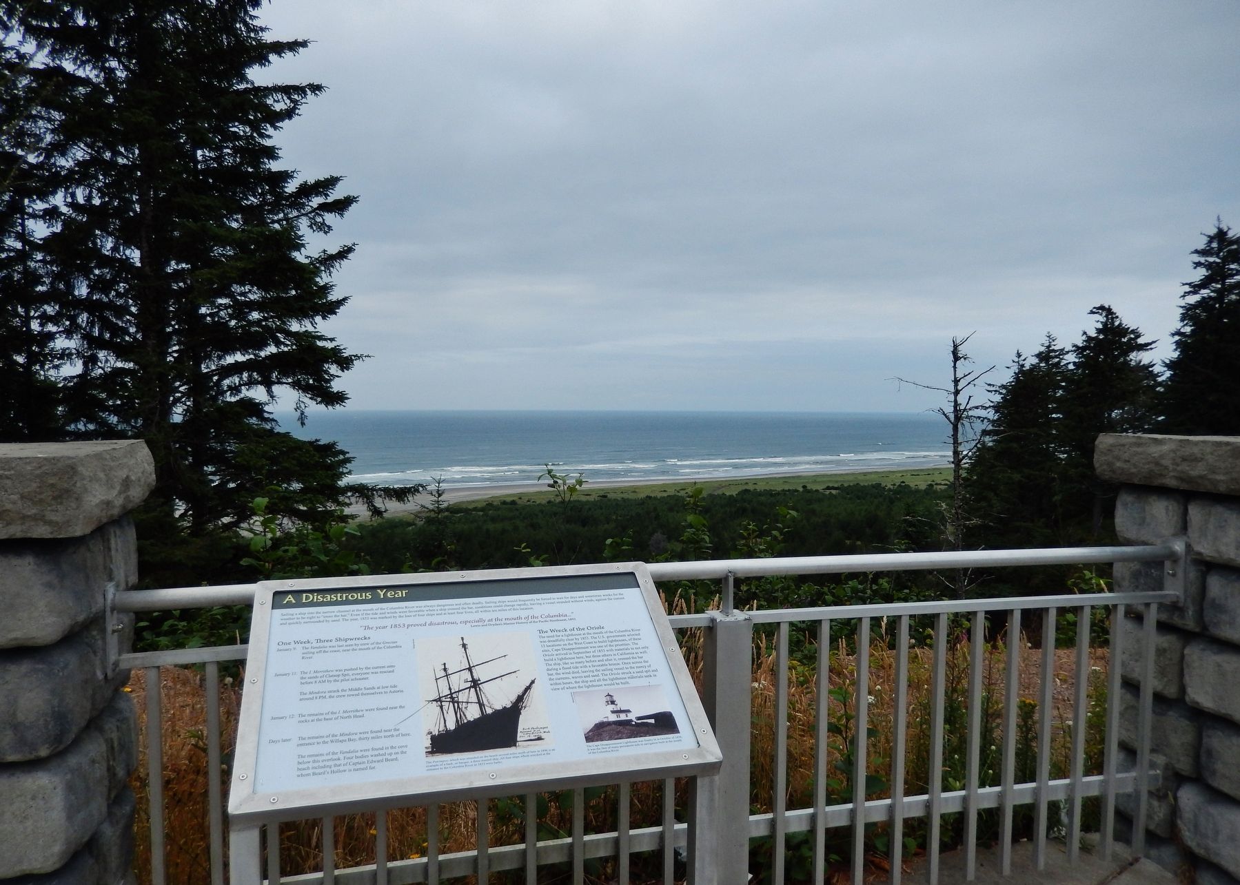
The remains of the Vandalia were found in the cove below this overlook. Four bodies washed up on the beach including that of Captain Edward Beard, whom Beard's Hollow is named for.
The Wreck of the Oriole
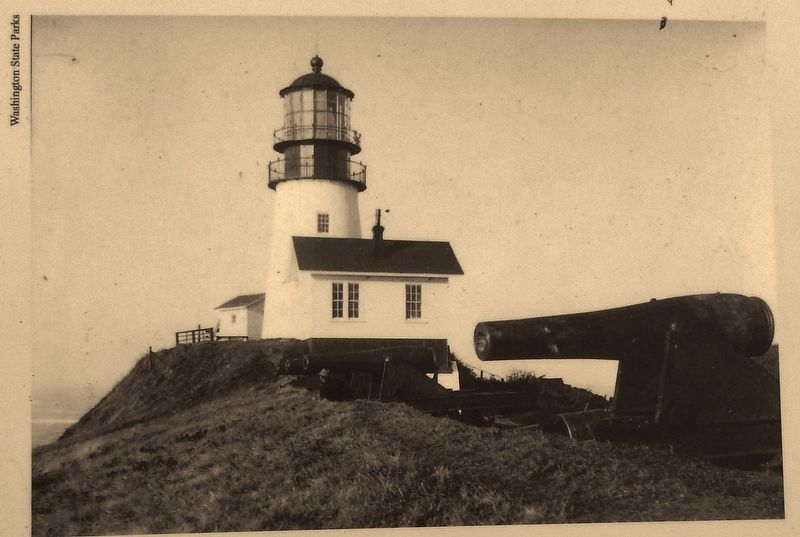
The need for a lighthouse at the mouth of the Columbia River was dreadfully clear by 1853. The U.S. government selected 13 locations on the West Coast to build lighthouses, of these sites, Cape Disappointment was one of the priorities. The Oriole arrived in September of 1853 with materials to not only build a lighthouse here, but three others in California as well. The ship, like so many before and after it, crossed the bar during a flood tide with a favorable breeze. Once across the bar, the wind died, leaving the sailing vessel to the mercy of the currents, waves and sand. The Oriole struck a sand spit and within hours, the ship and all the lighthouse materials sank in view of where the lighthouse would be built.
Topics and series. This historical marker is listed in these topic lists: Disasters • Waterways & Vessels. In addition, it is included in the Lighthouses series list. A significant historical year for this entry is 1853.
Location. 46° 18.585′ N, 124°
3.9′ W. Marker is in Ilwaco, Washington, in Pacific County. Marker is on North Head Road, 1.6 miles north of Robert Gray Drive (Washington Route 100), on the left when traveling north. Marker is located at the north end of Beard's Hollow Viewpoint overlook. Touch for map. Marker is at or near this postal address: 801 North Head Road, Ilwaco WA 98624, United States of America. Touch for directions.
Other nearby markers. At least 8 other markers are within 8 miles of this marker, measured as the crow flies. An Evolving Playground (a few steps from this marker); Life of a Lighthouse Keeper (approx. one mile away); Clamshell Railroad Driving Tour (approx. 1.1 miles away); Keeping Pace with Technology (approx. 2.3 miles away); Fort Canby (approx. 2.3 miles away); Lewis and Clark Trail (approx. 2.3 miles away); Cape Disappointment Lighthouse (approx. 2.4 miles away); Fort Columbia (approx. 7.8 miles away). Touch for a list and map of all markers in Ilwaco.
Also see . . . Cape Disappointment Lighthouse.
When Cape Disappointment Lighthouse was first lit on October 15, 1856, it became the eighth active light on the West Coast. Six of the original batch of eight lighthouses were built in the form of a circular tower protruding from the center of a keeper’s dwelling, but at Farallon Island and Cape Disappointment, there was only room for a circular tower at the lighthouse site, and a detached dwelling had to be built a considerable distance away. The brick tower at Cape Disappointment stands fifty-three
feet tall, has a focal plane of 220 feet above the sea, and tapers from a diameter of fourteen feet four inches at its base to ten feet six inches at the lantern room. The station was also supplied with a 1,600-pound fog bell, but it was found to have little value due to the roar of the surf and the distance at which mariners needed to hear it. (Submitted on April 19, 2018, by Cosmos Mariner of Cape Canaveral, Florida.)
Credits. This page was last revised on November 17, 2020. It was originally submitted on April 19, 2018, by Cosmos Mariner of Cape Canaveral, Florida. This page has been viewed 377 times since then and 67 times this year. Photos: 1, 2, 3, 4. submitted on April 19, 2018, by Cosmos Mariner of Cape Canaveral, Florida. • Andrew Ruppenstein was the editor who published this page.


