Sheridan Hollow in Albany in Albany County, New York — The American Northeast (Mid-Atlantic)
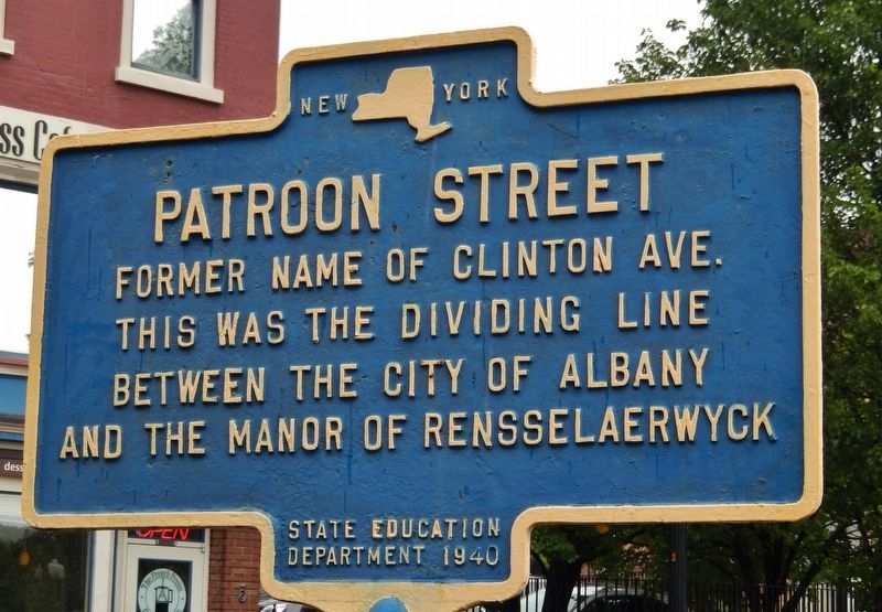
Patroon Street
Erected 1940 by New York State Education Department.
Topics. This historical marker is listed in these topic lists: Colonial Era • Roads & Vehicles • Settlements & Settlers.
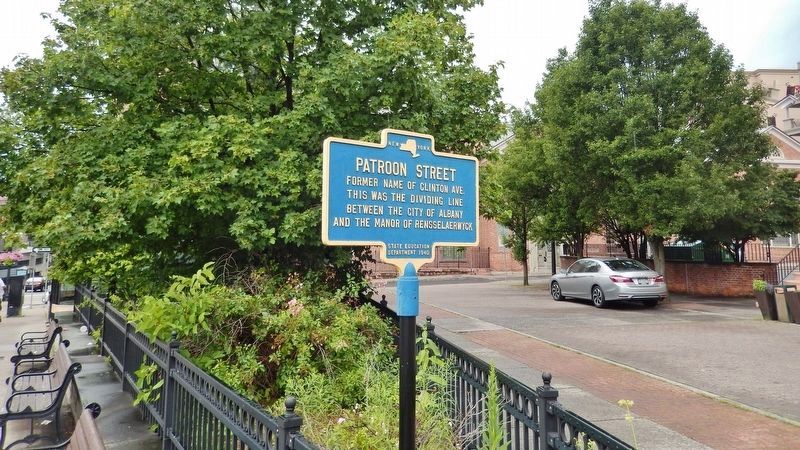
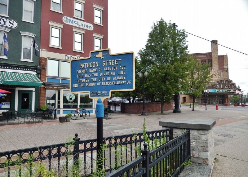
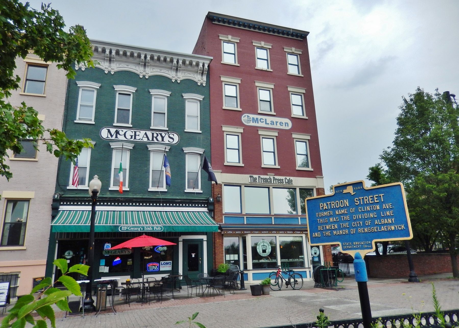
Location. 42° 39.235′ N, 73° 45.015′ W. Marker is in Albany, New York, in Albany County. It is in Sheridan Hollow. Marker is on North Pearl Street (New York State Route 32) 0.1 miles south of Clinton Avenue (U.S. 9), on the right when traveling south. Marker is located in Clinton Square, at the north end of the triangular plaza. Touch for map. Marker is at or near this postal address: 1 Clinton Square, Albany NY 12207, United States of America. Touch for directions.
Other nearby markers. At least 8 other markers are within walking distance of this marker. Clinton Square (a few steps from this marker); Herman Melville (within shouting distance of this marker); First Church in Albany (Reformed) (within shouting distance of this marker); Lincoln Mourned (about 600 feet away, measured in a direct line); B. Lodge & Company (about 700 feet away); United Traction Company Building (about 700 feet away); Albany Pump Station (about 700 feet away); Railroads (approx. 0.2 miles away). Touch for a list and map of all markers in Albany.
Also see . . .
1. North Albany, Albany, New York.
North Albany was settled in the mid-17th century by the Patroon of Rensselaerswyck and his tenants. The area of North Albany was originally woodland and farmland as part of the patroonship of Rensselaerswyck, a feudal land patent covering present-day Albany and Rensselaer counties. Due to the Erie Canal being constructed in 1825, North Albany saw immense growth, with the Albany Lumber District and an influx of Irish immigrants. (Submitted on April 23, 2018, by Cosmos Mariner of Cape Canaveral, Florida.)
2. Manor of Rensselaerswyck.
The estate was originally deeded by the Dutch West India Company in 1630 to Kiliaen van Rensselaer, a Dutch merchant and one of the company's original directors. Rensselaerswyck extended for miles on each side of the Hudson River near present-day Albany. It included most of what are now the present New York counties of Albany and Rensselaer, as well as parts of Columbia and Greene counties. The patroon had nearly total jurisdictional authority, establishing civil and criminal law, villages, and a church. Tenant farmers were allowed to work on the land, but had to pay rent to the owners, and had no rights to property. The patroonship was maintained intact by Rensselaer descendants for more than two centuries. It was split up after the death of its last patroon, Stephen van Rensselaer
III in 1839 (Submitted on April 23, 2018, by Cosmos Mariner of Cape Canaveral, Florida.)
3. Clinton Avenue Historic District (Albany, New York).
It originated with the city's creation of Clinton Square at its east end, shortly after the opening of the Erie Canal. Herman Melville lived for a year in one of the early rowhouses on the square. The rowhouse became the standard form as development continued to the west in later decades as the city industrialized. Today 92% of its nearly 600 buildings are 19th-century rowhouses in different architectural styles, predominantly Italianate, many built as speculative housing for the city's middle class. (Submitted on April 23, 2018, by Cosmos Mariner of Cape Canaveral, Florida.)
Credits. This page was last revised on February 16, 2023. It was originally submitted on April 23, 2018, by Cosmos Mariner of Cape Canaveral, Florida. This page has been viewed 344 times since then and 35 times this year. Photos: 1, 2, 3, 4. submitted on April 23, 2018, by Cosmos Mariner of Cape Canaveral, Florida. • Andrew Ruppenstein was the editor who published this page.


