Salvatierra, Guanajuato, Mexico — The Central Highlands (North America)
Portal Juárez
Ruta de los Conventos - The Convent Route
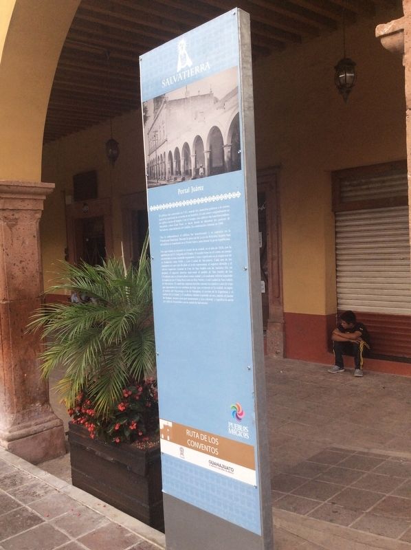
Portal Juárez
El edificio fue construido en 1743, cuando los carmelitas pidieron a la corona que se les autorizara la creación de un beaterio, el cual estuvo originalmente en un edificio anexo al templo. Con el tiempo, este edificio fue transformándose, fungiendo como Casa Real, es decir, donde se ubicaban los poderes de Salvatierra, especialmente el Cabildo. Su construcción culminó en 1808.
Tras la Independencia el edificio fue transformando y se convirtió en la Presidencia Municipal. Durante la época de las Leyes de Reforma, la parte baja del edificio se transformó en el Portal Juárez, para honrar la gesta republicana.
Fue aquí donde se discutió el escudo de la ciudad, en el año de 1828, con la aprobación del H. Congreso del Estado. El escudo tiene en el centro un campo acuartelado en cruz coronado regiamente y cuyo significado es el origen real de su fundación como Noble y Leal Ciudad de Salvatierra. Cada uno de los cuadrantes en que está dividido el óvalo representan, el superior derecho y el inferior izquierdo ostentan la Cruz de San Andrés con las iniciales S.A., en púrpura; el superior derecho representa al pueblo de San Andrés de los Chochones que es el antecedente como ciudad; y el cuadrante inferior izquierdo la fundación por Cédula Real como la Muy Noble y Leal Ciudad de San Andrés de Salvatierra. El cuadrante superior derecho ostestenta tres atados o ases de trigo que representan los tres molinos de trigo que existieron en la ciudad, en sepia; el molino del Mayorazgo o de la Marquesa, el molino de la Esperanza y el molino de la Ciudad; y el cuadrante inferior izquierdo en oro, ostenta al puente de Batanes, nuestro principal monumento y joya colonial, y significa la unión del valle de Guatzindeo con la ciudad de Salvatierra.
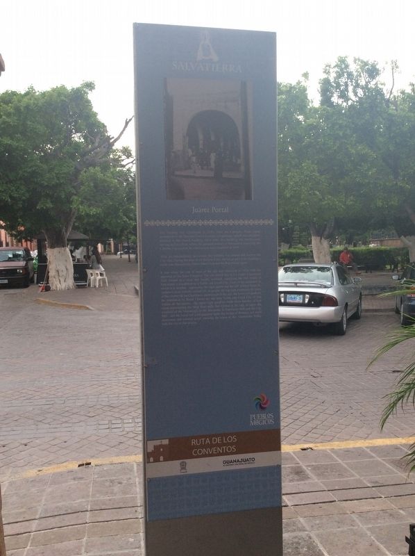
Juárez Portal
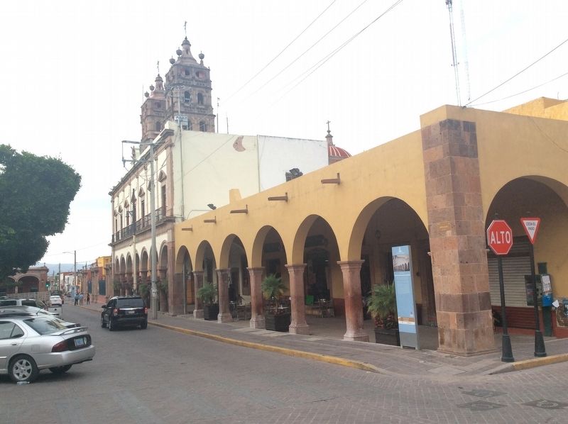
The building was constructed in 1743, when the Carmelite Order asked permission to the Spanish Crown to create a beguinage, which was originally annexed to the church building. Over time, this building was transformed, serving as Casa Real, where the political powers of Salvatierra, especially the Cabildo, was located. Its construction was completed in 1808.
After the Independence movement, the building was altered and became the City Hall. During the time of the Reform Laws, the lower part of the building was changed into Portal Juárez, to honor the Republican quest.
It was where the coat of arms of the city was discussed in 1828, with the approval of the State Congress. The
city shield has in its center a quartered field formed in a cross and royally crowned, signifying the real origin of Salvatierra’s foundation as a Noble and Loyal City. Each of the quadrants in which it is divided, represents the right upper and the left inferior boast St. Andrew’s cross with the initials S.A., in purple; the top right represents the town of San Andrés de los Chochones, predecessor of the city; the lower left quadrant the foundation by Royal Charter as the Very Noble and Loyal City of San Andrés de Salvatierra; the upper right quadrant holds three bundles of tied wheat representing the three flour mills that existed in the city, in sepia; the watermill of the Mayorazgo or the Marquesa, la Esperanza Mill and the City Mill; and the lower left gold quadrant holds the bridge of Batanes, our main monument and colonial jewel, showing the union of the Guatzindeo Valley with the city of Salvatierra.
Topics. This historical marker is listed in these topic lists: Colonial Era • Man-Made Features. A significant historical year for this entry is 1743.
Location. 20° 12.949′ N, 100° 52.888′ W. Marker is in Salvatierra, Guanajuato. Marker is at the intersection of Calle Benito Juárez and Calle Francisco I. Madero, on the right when traveling north on Calle Benito Juárez. Touch for map. Marker is in this post office area: Salvatierra GTO 38900, Mexico. Touch for directions.
Other nearby markers. At least 8 other markers are within walking distance of this
marker. Cardinal Juan Jesús Posadas Ocampo (here, next to this marker); 175th Anniversary of the Beginning of Mexican Independence (within shouting distance of this marker); Diocesan Shrine of Nuestra Señora de La Luz (within shouting distance of this marker); Federico Escobedo Tinoco (about 120 meters away, measured in a direct line); Agustín de Carranza y Salcedo (about 180 meters away); Dr. Jesús Guisa y Azevedo (about 240 meters away); Church and Former Convent of San Buenaventura (about 240 meters away); The Founders of Salvatierra (approx. 0.2 kilometers away). Touch for a list and map of all markers in Salvatierra.
Credits. This page was last revised on April 5, 2024. It was originally submitted on May 17, 2018, by J. Makali Bruton of Accra, Ghana. This page has been viewed 174 times since then and 13 times this year. Photos: 1, 2, 3. submitted on May 17, 2018, by J. Makali Bruton of Accra, Ghana.


