Zapata in Zapata County, Texas — The American South (West South Central)
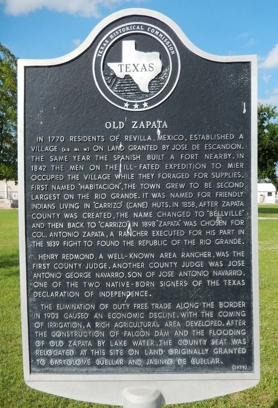
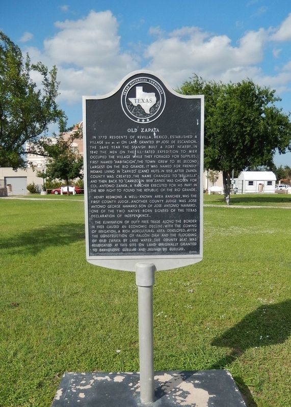
Old Zapata
In 1770 residents of Revilla, Mexico, established a village (4.5 mi. W) on land granted by Jose de Escandon. The same year the Spanish built a fort nearby. In 1842 the men on the ill-fated expedition to Mier occupied the village while they foraged for supplies. First named "Habitacion," the town grew to be second largest on the Rio Grande. It was named for friendly Indians living in "carrizo" (cane) huts. In 1858, after Zapata County was created, the name changed to "Bellville" and then back to "Carrizo." In 1898 "Zapata" was chosen for Col. Antonio Zapata, a rancher executed for his part in the 1839 fight to found the Republic of the Rio Grande.
Henry Redmond, a well-known area rancher, was the first county judge. Another county judge was Jose Antonio George Navarro, son of Jose Antonio Navarro, one of the two native-born signers of the Texas Declaration of Independence.
The elimination of duty free trade along the border in 1903 caused an economic decline. With the coming of irrigation, a rich agricultural area developed. After the construction of Falcon Dam and the flooding of Old Zapata by lake water, the county seat was relocated at this site on land originally granted to Bartolome Cuellar and Jacinto de Cuellar.
Erected 1979 by Texas Historical Commission. (Marker Number 3837.)
Topics. This historical marker is listed in these topic lists: Colonial Era • Hispanic Americans • Settlements & Settlers. A significant historical year for this entry is 1770.
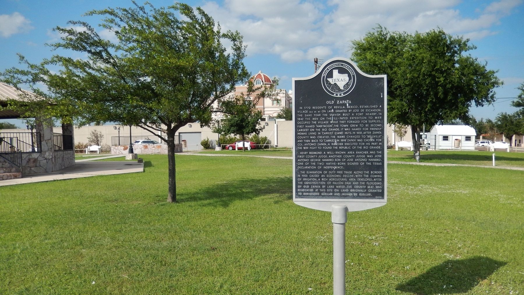
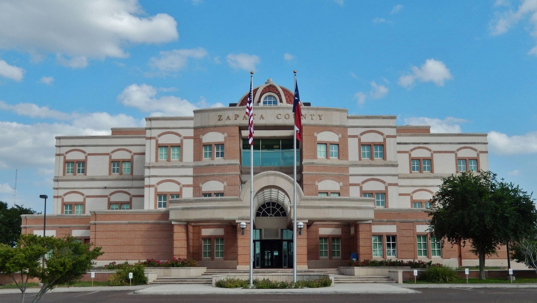
Location. 26° 54.086′ N, 99° 15.995′ W. Marker is in Zapata, Texas, in Zapata County. Marker is on U.S. 83 north of 6th Avenue, on the right when traveling north. Marker is located on the Zapata County Courthouse Plaza. Touch for map. Marker is at or near this postal address: 600 Hidalgo Boulevard, Zapata TX 78076, United States of America. Touch for directions.
Other nearby markers. At least 3 other markers are within 17 miles of this marker, measured as the crow flies. Mission Revilla a Visita (within shouting distance of this marker); Old Ramireño (approx. 10.2 miles away); Old Lopeño (approx. 16.4 miles away).
Also see . . .
1. Zapata, Texas. One of the inducements for colonists was the promise of large land grants from the Spanish government on both banks of the Rio Grande. After the requirements for validation of the grants were met, the final adjudication of the lands occurred in 1767. Soon thereafter, the settlers began to move across the river, and a town was begun on the north bank of the Rio Grande. (Submitted on May 21, 2018, by Cosmos Mariner of Cape Canaveral, Florida.)
2. Zapata County, Texas. From the Texas Revolution until the Mexican War the region was disputed territory, claimed by both Texas and Mexico. In 1839–40 Antonio Zapata and other residents joined Antonio Canales Rosillo and Jesús Cárdenas to fight for the Republic of the Rio Grande. Despite political turmoil, the population of the area continued to grow. By 1848 thirty-nine porciones and fifteen other tracts of land had been granted to individuals either by Spanish authorities or by the Mexican government. But raids by Comanches, Apaches, and other Indians continued to plague the settlers. (Submitted on May 21, 2018, by Cosmos Mariner of Cape Canaveral, Florida.)
3. Mier expedition. The Mier expedition was an unsuccessful military operation launched in November 1842 by a Texian militia against Mexican border settlements. It included a major battle at Ciudad Mier on December 26 and 27, 1842, which the Mexicans won. The Texian attack was launched partly in hopes of financial gain and partly in retaliation for the Dawson Massacre (as named by Texans) earlier that year, in which thirty-six Texas militia were killed by the Mexican Army. Both conflicts were part of continuing efforts by each side to control the land between the Rio Grande and Nueces River. The Republic of Texas believed that this territory had been ceded to it in the Treaties of Velasco, by which they gained independence; but Mexico did not agree. (Submitted on May 21, 2018, by Cosmos Mariner of Cape Canaveral, Florida.)
Credits. This page was last revised on January 20, 2020. It was originally submitted on May 21, 2018, by Cosmos Mariner of Cape Canaveral, Florida. This page has been viewed 822 times since then and 109 times this year. Photos: 1, 2, 3, 4. submitted on May 21, 2018, by Cosmos Mariner of Cape Canaveral, Florida. • Bernard Fisher was the editor who published this page.


