"Ltcuntadun"
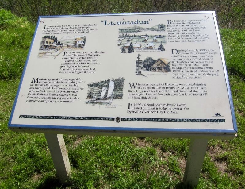
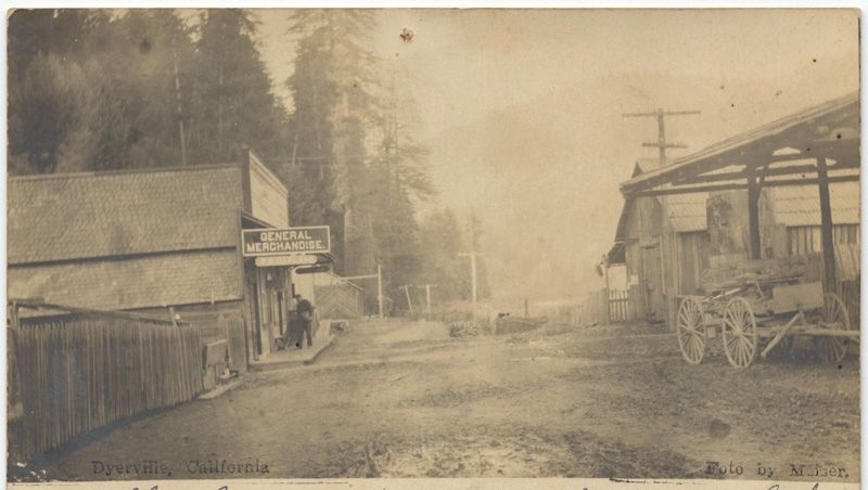
In 1876, a ferry crossed the river here. The town of Dyerville, named for its oldest resident, -- Charles "Dad" Dyer, was established in 1890. It served a growing population of homesteaders who ranched, farmed and logged the area.
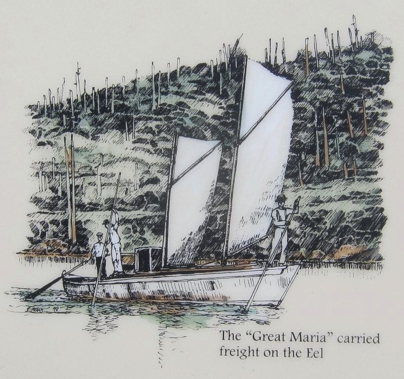
Meat, dairy goods, fruits, vegetables and wood products were shipped to the Humboldt Bay region via riverboat and later by rail. A station across the river at South Fork served the Northwestern Pacific Railroad linking Eureka to San Francisco, opening the region to further commerce and passenger transport.
By 1920, the wagon road had become the "Redwood Highway" and the save-the-redwoods movement was well underway. Park land was acquired and a portion of Dyerville was purchased by the State which converted the town store into park headquarters.
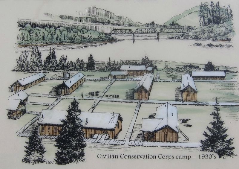
During the early 1930's, the Civilian Conservation Corps established a camp here. Later the camp was moved south to Burlington near Weott due to high water in 1937 Park headquarters remained until 1955 when flood waters rose 19 feet in just one hour, destroying virtually everything.
Whatever was left of Dyerville was buried during the construction of Highway 101 in 1957. Less than 10 years later the 1964 flood drowned the north coast again. Layered beneath your feet is 30 feet of fill and landslide debris.
In 1995, several coast redwoods were planted
on what is today known as the Dyerville Overlook Day Use Area.Erected by California State Parks.
Topics. This historical marker is listed in these topic lists: Native Americans • Parks & Recreational Areas • Settlements & Settlers. A significant historical year for this entry is 1876.
Location. 40° 21.348′ N, 123° 55.347′ W. Marker is near Weott, California, in Humboldt County. Marker is at the intersection of U.S. 101 and Mattole Road / Lower Bull Creek Flat Road, on the left when traveling south on U.S. 101. Touch for map. Marker is in this post office area: Weott CA 95571, United States of America. Touch for directions.
Other nearby markers. At least 8 other markers are within 4 miles of this marker, measured as the crow flies. Swept Away (a few steps from this marker); The Tangled Roots of Founders Grove (approx. ¼ mile away); Laura Perrott Mahan & James P. Mahan (approx. 0.6 miles away); Mother Nature Cannot Be Tamed (approx. 2.1 miles away); Humboldt Redwoods State Park (approx. 2.1 miles away); Redwood Time-ring (approx. 3.4 miles away); Old Giant Redwood Tree (approx. 3½ miles away); Giant Tree (approx. 3.7 miles away). Touch for a list and map of all markers in Weott.
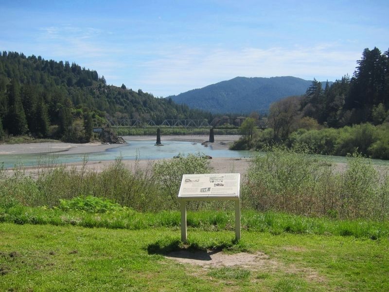
More about this marker. The marker is located on the eastern side of the Dyerville Overlook Day Use Area, and is easily seen from Hwy. 101.
Also see . . . Dyerville, from California State Parks News and Views 1944. (Submitted on August 2, 2018.)
Credits. This page was last revised on August 2, 2018. It was originally submitted on August 2, 2018, by Andrew Ruppenstein of Lamorinda, California. This page has been viewed 253 times since then and 13 times this year. Photos: 1, 2, 3, 4, 5. submitted on August 2, 2018, by Andrew Ruppenstein of Lamorinda, California.
