Near Lolo in Missoula County, Montana — The American West (Mountains)
Cycles and Circles
The Montana Legacy
Inscription.
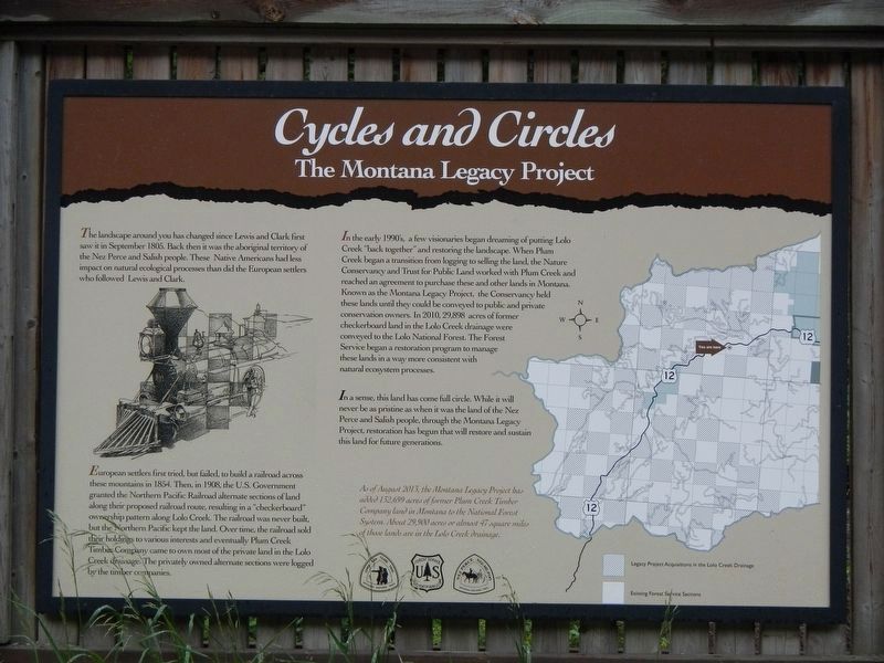
The landscape around you has changed since Lewis and Clark first saw it in September 1805. Back then it was the aboriginal territory of the Nez Perce and Salish people. This Native Americans had less impact on natural ecological processes than did the European settlers who followed Lewis and Clark.
European settlers first tried, but failed to build a railroad across these mountains in 1854 (sic). Then, in 1908, the U.S. Government granted the Northern Pacific Railroad alternate sections of land along their proposed railroad route, resulting in a "checkerboard" ownership pattern along Lolo Creek. The railroad was never built, but the Northern Pacific kept the land. Over time, the railroad sold their holdings to various interests and eventually Plum Creek Timber Company came to own most of the private land in the Lolo Creek drainage. The privately owned alternate sections were logged by the timber companies.
In the early 1990's, a few visionaries began dreaming of putting Lolo Creek "back together" and restoring the landscape. When Plum Creek began a transition from logging to selling the land, the Nature Conservancy and Trust for Public Land worked with Plum Creek and reached an agreement to purchase these and other lands in Montana. Known as the Montana Legacy Project, the Conservancy held these lands until they could be conveyed to public and private conservation owners. In 2010, 29,898 acres of former checkerboard land in the Lolo Creek drainage were conveyed to the Lolo National Forest. The Forest Service began a restoration program to manage these lands in a way more consistent with natural ecosystem processes.
In a sense, this land has come full circle. While it will never be as pristine as when it was the land of the Nez Perce and Salish people, through the Montana Legacy Project, restoration had begun that will restore and sustain this land for future generations.
As of August 2013, the Montana Legacy Project has added 132,699 acres of former Plum Creek Timber Company land in Montana to the National Forest System. About 29,900 acres or almost 47 square mies of those lands are in the Lolo Creek drainage.
Erected by U.S. Forest Service, Lewis and Clark National Historic Trail, Nez Perce - Nee-Mee-Poo National Historic Trail.
Topics. This historical marker is listed in these topic lists: Environment • Parks & Recreational Areas.
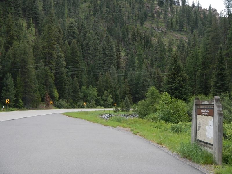
Location. 46° 46.128′ N, 114° 27.864′ W. Marker is near Lolo, Montana, in Missoula County. Marker is on Lolo Creek Road (U.S. 12) near Forest Road 238, on the left when traveling west. Touch for map. Marker is at or near this postal address: 31800 US Highway 12, Lolo MT 59847, United States of America. Touch for directions.
Other nearby markers. At least 7 other markers are within 14 miles of this marker, measured as the crow flies. Soldiers as Naturalists (approx. 3.1 miles away); Lewis and Clark Route (approx. 10 miles away in Idaho); Lolo Summit (approx. 10.7 miles away in Idaho); Lewis and Clark (approx. 10.7 miles away in Idaho); Nez Perce Trail (approx. 10.7 miles away in Idaho); Lolo Trail Crossing (approx. 13.6 miles away in Idaho); Checkerboard Legacy (approx. 13.6 miles away in Idaho).
Credits. This page was last revised on September 10, 2018. It was originally submitted on September 10, 2018, by Barry Swackhamer of Brentwood, California. This page has been viewed 201 times since then and 25 times this year. Photos: 1, 2. submitted on September 10, 2018, by Barry Swackhamer of Brentwood, California.

