Washington in Franklin County, Missouri — The American Midwest (Upper Plains)
Washington Monument
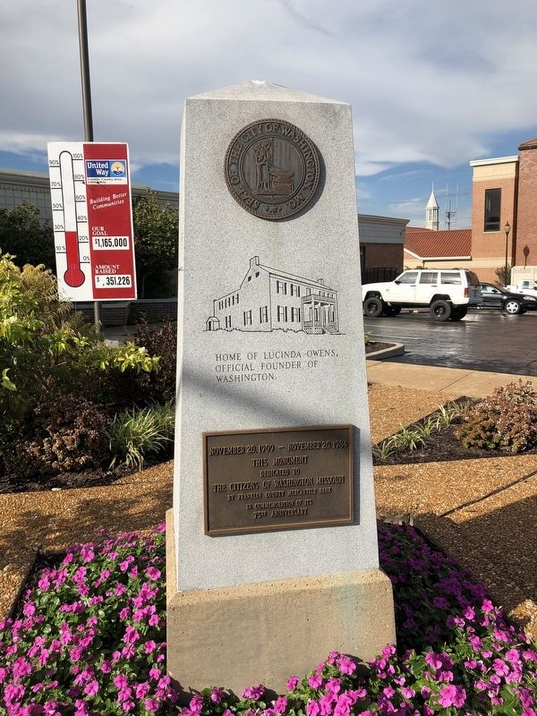
East-facing:
Home of Lucinda Owens, official founder of Washington.
This monument
dedicated to
the citizens of Washington, Missouri
by Franklin County Mercantile Bank
in commemoration of its
75th Anniversary
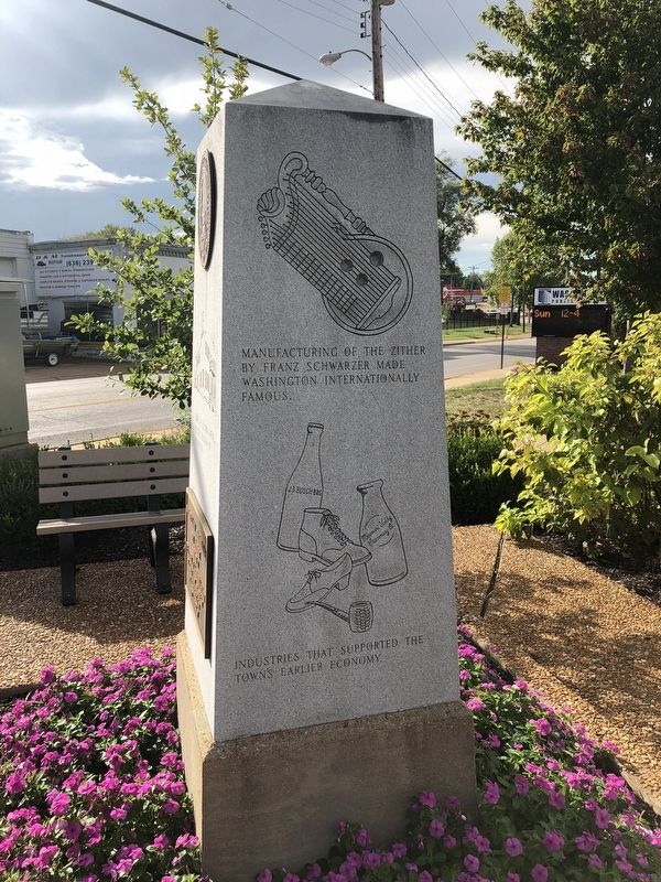
North-facing:
Manufacturing of the zither by Franz Schwarzer made Washington internationally famous.
Industries that supported the town's earlier economy.
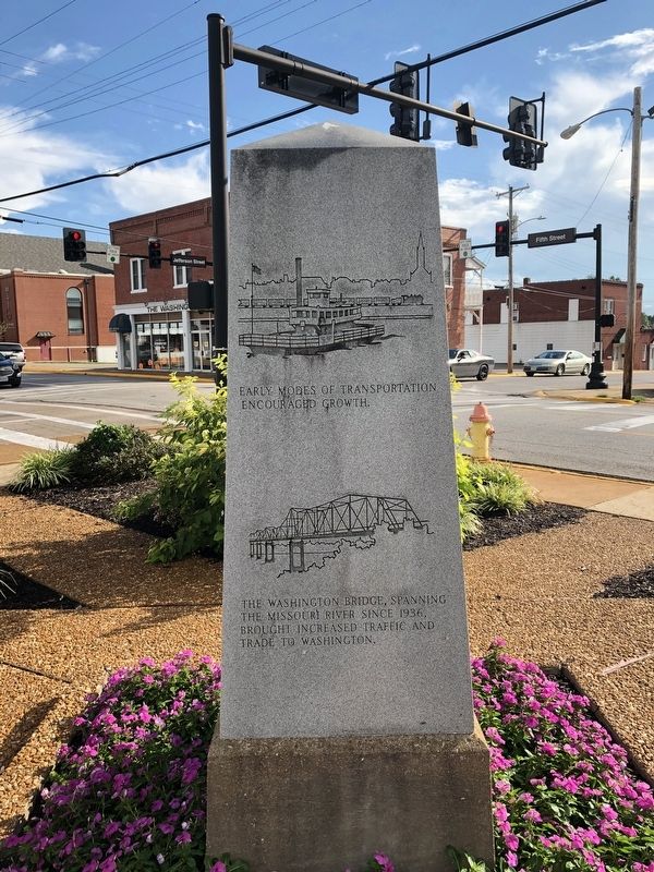
West-facing:
Early modes of transportation encouraged growth.
The Washington Bridge, spanning the Missouri River since 1936, brought increased traffic and trade to Washington.
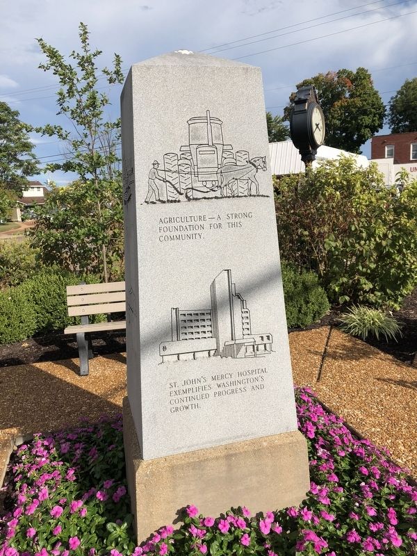
South-facing:
Agriculture - A strong foundation for this community.
St. John's Mercy Hospital exemplifies Washington's continued progress and growth.
Erected by Franklin County Mercantile Bank.
Topics. This historical marker and monument is listed in these topic lists: Industry & Commerce • Settlements & Settlers • Waterways & Vessels • Women. A significant historical date for this entry is November 20, 1909.
Location. 38° 33.402′ N, 91° 0.791′ W. Marker is in Washington, Missouri, in Franklin County . Marker is at the intersection of Lafayette Street and East 5th Street on Lafayette Street. Touch for map. Marker is at or near this postal address: 410 Lafayette Street, Washington MO 63090, United States of America. Touch for directions.
Other nearby markers. At least 8 other markers are within walking distance of this marker. Veterans Memorial (a few steps from this marker); George Washington (within shouting distance of this marker); Unnerstall Flag Plaza (about 300 feet away, measured in a direct line); St. John's A.M.E. Church (about 800 feet away); The Theatre Verein (approx. 0.2 miles away); Schnier Building (approx. 0.2 miles away); Tamm Building (approx. 0.2 miles away); Historic Log House (approx. 0.2 miles away). Touch for a list and map of all markers in Washington.
Credits. This page was last revised on September 27, 2019. It was originally submitted on October 8, 2018, by Devry Becker Jones of Washington, District of Columbia. This page has been viewed 195 times since then and 14 times this year. Photos: 1, 2, 3, 4. submitted on October 8, 2018, by Devry Becker Jones of Washington, District of Columbia. • Andrew Ruppenstein was the editor who published this page.


