Fort Pierre in Stanley County, South Dakota — The American Midwest (Upper Plains)
Lewis and Clark First Sioux Nation Meeting
Inscription.
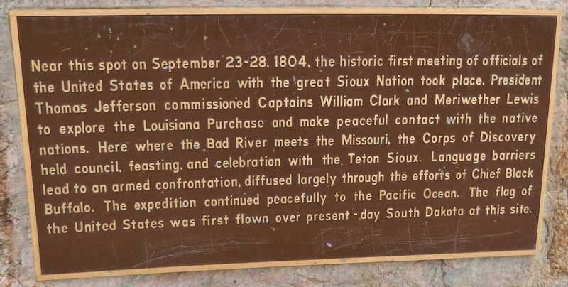
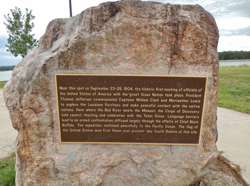
Near this spot on September 23-28, 1804, the historic first meeting of officials of the United States of America with the great Sioux Nation took place. President Thomas Jefferson commissioned Captains William Clark and Meriwether Lewis to explore the Louisiana Purchase and make peaceful contact with the native nations.
Here where the Bad River meets the Missouri, the Corps of Discovery held council, feasting, and celebration with the Teton Sioux. Language barriers lead to an armed confrontation, diffused largely through the efforts of Chief Black Buffalo. The expedition continued peacefully to the Pacific Ocean. The flag of the United States was first flown over present-day South Dakota at this site.
Topics and series. This historical marker is listed in these topic lists: Exploration • Native Americans • Notable Events. In addition, it is included in the Former U.S. Presidents: #03 Thomas Jefferson, and the Lewis & Clark Expedition series lists. A significant historical date for this entry is September 24, 1804.
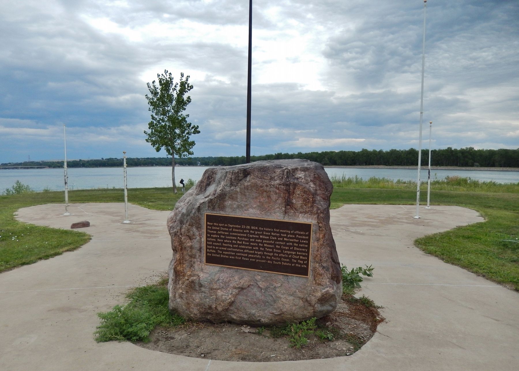
Location. 44° 21.186′ N, 100° 22.094′ W. Marker is in Fort Pierre, South Dakota, in Stanley County. Marker can be reached from 2 Rivers Street north of Ash Avenue. Marker is located along the walking path, at the northeast corner of Fischers Lilly Park, overlooking the Missouri River. Touch for map. Marker is at or near this postal address: 415 Ash Avenue, Fort Pierre SD 57532, United States of America. Touch for directions.
Other nearby markers. At least 8 other markers are within walking distance of this marker. Lewis and Clark Encounter Teton Sioux (here, next to this marker); The Lewis and Clark Expedition (here, next to this marker); The Fort Pierre Plain (within shouting distance of this marker); Andy's Meat Market (about 700 feet away, measured in a direct line); Stockgrowers Bank (approx. 0.2 miles away); The Stockgrowers Bank of Fort Pierre (approx. 0.2 miles away); Stanley County Jail 1905 (approx. ¼ mile away); Stanley County Courthouse Veteran's Memorial (approx. 0.3 miles away). Touch for a list and map of all markers in Fort Pierre.
More about this marker. Marker is a large metal plaque, mounted horizontally at waist-level on a large boulder.
Related markers. Click here for a list of markers that are related to this marker. Lewis and Clark Meet the Teton Sioux Indians
Also see . . .
1. Lewis & Clark Meet the Lakota Nation In Fort Pierre. One of the most significant events of the entire Lewis & Clark Voyage of Discovery took place at what is now Lilly Park in the city of Fort Pierre, where the Bad River enters the Missouri in central South Dakota. There representatives
of the United States of America met for the first time officials of the great Lakota Nation. The interactions teetered on the brink of becoming seriously hostile. The Lakota controlled this section of the river and surrounding land. (Submitted on October 14, 2018, by Cosmos Mariner of Cape Canaveral, Florida.)
2. Fischers Lilly Park. The meeting of Lewis and Clark’s Corp of Discovery and the Teton Lakota nation is considered to be one of the most pivotal moments in the history of the Lewis and Clark Expedition. Differences in trade objectives, diplomacy, and the lack of an interpreter lead to an armed confrontation, the closest Lewis and Clark came to a premature end to their expedition. This meeting happened at the mouth of the Bad River in what today is known as Fischers Lilly Park. In June of 2004 Lilly Park was renamed Fischers Lilly Park and was certified by the National Park Service as a Lewis and Clark National Historic Trail site. (Submitted on October 14, 2018, by Cosmos Mariner of Cape Canaveral, Florida.)
Credits. This page was last revised on October 14, 2018. It was originally submitted on October 14, 2018, by Cosmos Mariner of Cape Canaveral, Florida. This page has been viewed 271 times since then and 33 times this year. Photos: 1, 2, 3. submitted on October 14, 2018, by Cosmos Mariner of Cape Canaveral, Florida. • Andrew Ruppenstein was the editor who published this page.


