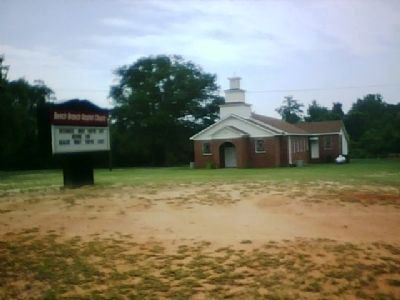
Near Sardis in Burke County, Georgia — The American South (South Atlantic)
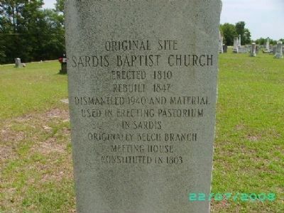
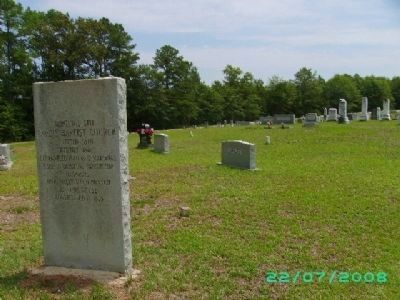
Original Site Sardis Baptist Church
Rebuilt 1847
Dismantled 1940 and material used in erecting pastorium in Sardis.
Originally Beech Branch Meeting House constituted in 1803.
Topics. This historical marker is listed in these topic lists: African Americans • Cemeteries & Burial Sites • Churches & Religion • Settlements & Settlers. A significant historical year for this entry is 1810.
Location. 32° 58.633′ N, 81° 46.498′ W. Marker is near Sardis, Georgia, in Burke County. Marker is on Old Sardis Road west of Cemetery Street, on the right when traveling west. Touch for map. Marker is in this post office area: Sardis GA 30456, United States of America. Touch for directions.
Other nearby markers. At least 8 other markers are within 11 miles of this marker, measured as the crow flies. Sardis Baptist Church (approx. 1.1 miles away); Old Quaker Road (approx. 4.1 miles away); First McCanaan Baptist Church (approx. 4.3 miles away); Sherman's Left Wing (approx. 6.7 miles away); British Army Crossing (approx. 7.9 miles away); Paris' Mill (approx. 7.9 miles away); Botsford Church - 1773 (approx. 10.2 miles away); The 14th Corps at Lumpkin's Station (approx. 11 miles away). Touch for a list and map of all markers in Sardis.
Regarding Original Site Sardis Baptist Church. On the evening of September 28, 1803 thirteen believers met at one of the homes of the Beech Branch community for the purpose of forming a charter under the leadership of the Rev. Henry Hand and John Ross. The nine men and four women, calling themselves the "Beech Branch Meeting House," continued to congregate and in 1804 asked for admission to the Hephzibah Baptist Association. The Association "having found them of like faith and practice," admitted the group as Beech Branch Baptist Church.
Under the inaugural leadership of Rev. Hand, the official membership grew to forty members by the close of 1804. In December of 1808 a committee was appointed to "find a place on which to build a new meeting house somewhere near Boggy Gut Creek." Two months later a ten acre lot of land had been chosen "on the Savannah road near Squire Sapp's," and by March of 1810 a conference was held in the nearly completed building. At the conference, it was decided that the church should be called Sardis.
Slave masters and their slaves both attended this church and in 1867 it was decided that the church would split racially. The white members remained in the church named Sardis and the African American members started their own church known by the original name, Beech Branch. This church is still active today on Highway 24 just outside Sardis, GA.
About two miles from Sardis Baptist Church lay a small crossroads community known as "Frog
Wallow." The period around the turn of the century saw the further development of the Frog Wallow community, and its eventual renaming as Sardis, after the nearby Baptist church. Sardis Baptist Church decided to construct a new brick building in the town, and work on it was completed in 1949. The old structure remained for many years as an extra meeting house, and its location is now the site of the church cemetery.
Photographed By Diana Boland
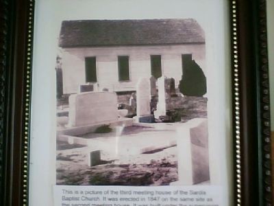
4. Original Sardis Baptist Church
This is a picture of the third meeting house of the Sardis Baptist Church. It was erected in 1847 on the same site as the second meeting house. It was built under the supervision of the following committee: William E. Sapp and B.I. Ellison. It was dedicated by the church pastor Rev. Joseph Pohill in November 1849. It was dismantled in 1939 and the pastorium was built from the material of the old church.
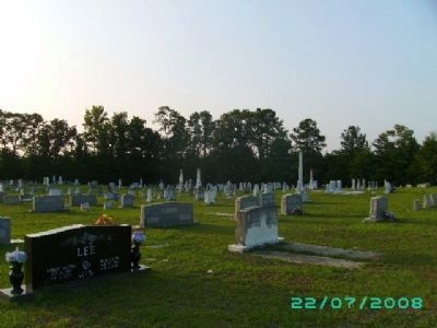
Photographed By Diana Boland, July 22, 2008
5. Section A
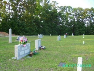
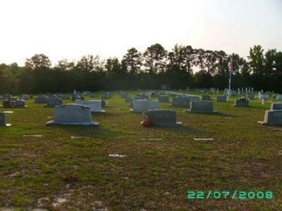
This photo was taken at the head of the road that divides section A/C and section B. This is the oldest section of the cemetery and contains graves dated from the 1800s to the present. The original church was positioned in the very back of this section.
Credits. This page was last revised on April 29, 2019. It was originally submitted on July 23, 2008, by D. Boland of Waynesboro, Georgia. This page has been viewed 3,234 times since then and 54 times this year. Last updated on October 14, 2008. Photos: 1. submitted on July 23, 2008, by D. Boland of Waynesboro, Georgia. 2. submitted on July 22, 2008, by D. Boland of Waynesboro, Georgia. 3, 4, 5, 6. submitted on July 23, 2008, by D. Boland of Waynesboro, Georgia. 7. submitted on July 27, 2008, by D. Boland of Waynesboro, Georgia. • Kevin W. was the editor who published this page.
