Huntington in Cabell County, West Virginia — The American South (Appalachia)
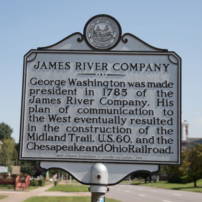
James River Company
Erected 1979 by West Virginia Department of Culture and History.
Topics and series. This historical marker is listed in these topic lists: Communications • Roads & Vehicles • Settlements & Settlers • Waterways & Vessels. In addition, it is included in the West Virginia Archives and History series list. A significant historical year for this entry is 1785.
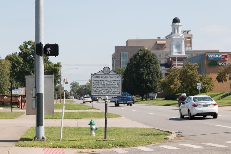
Location. 38° 25.119′ N, 82° 26.909′ W. Marker is in Huntington, West Virginia, in Cabell County. Marker is at the intersection of 5th Avenue (U.S. 60) and 6th Street, on the left when traveling east on 5th Avenue. Touch for map. Marker is in this post office area: Huntington WV 25701, United States of America. Touch for directions.
Other nearby markers. At least 8 other markers are within walking distance of this marker. War of 1812 Memorial (about 600 feet away, measured in a direct line); Huntington (about 700 feet away); Courthouse Clock Tower Bell (approx. 0.2 miles away); The Virginia State Road (approx. 0.2 miles away); Revolutionary War Memorial (approx. 0.2 miles away); Cabell County Cavalcade (approx. 0.2 miles away); "In Memoriam" (approx. 0.2 miles away); W. Stanley James, ESQ (approx. 0.2 miles away). Touch for a list and map of all markers in Huntington.
Also see . . . Wikipedia entry for James River and Kanawha Canal. “Surveyed and planned by George Washington, the canal project was begun in 1785 as the James River Company, and later restarted under the James River and Kanawha Canal Company. It was an expensive project which failed several times financially and was frequently damaged by floods. Though largely financed by the Commonwealth of Virginia through the Virginia Board of Public Works, it was only half completed by 1851, reaching Buchanan, in Botetourt County. When work to extend it further west stopped permanently, railroads were overtaking the canal as a far more productive mode of transportation.
“In the end its right-of-way was bought and the canal was largely dismantled by the new Richmond and Allegheny Railroad, which laid tracks on the former towpath. The R&A became part of the Chesapeake and Ohio Railway in the 1890s, which developed much of the former canal route into an important line for West Virginia bituminous coal headed eastbound for the Peninsula Extension to reach the Hampton Roads coal piers at Newport News for worldwide export aboard large colliers.” (Submitted on November 8, 2018.)
Credits. This page was last revised on November 8, 2018. It was originally submitted on November 8, 2018, by J. J. Prats of Powell, Ohio. This page has been viewed 425 times since then and 37 times this year. Photos: 1, 2. submitted on November 8, 2018, by J. J. Prats of Powell, Ohio.

