Congress Heights in Southeast Washington in Washington, District of Columbia — The American Northeast (Mid-Atlantic)
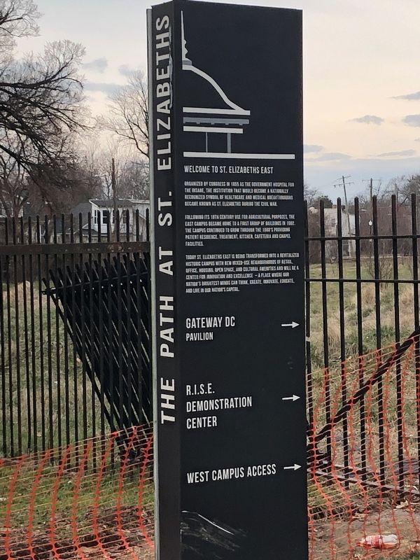
Welcome to St. Elizabeths East
Following its 19th century use for agricultural purposes, the east campus became home to a first group of buildings in 1902. The campus continued to grow through the 1960's providing patient residence, treatment, kitchen, cafeteria and chapel facilities.
Today St. Elizabeths East is being transformed into a revitalized historic campus with new mixed-use neighborhoods of retail, office, housing, open space, and cultural amenities and will be a center for innovation and excellence — a place where our nation's brightest minds can think, create, innovate, educate, and live in our nation's capital.
Topics. This historical marker is listed in these topic lists: Agriculture • Science & Medicine. A significant historical year for this entry is 1855.
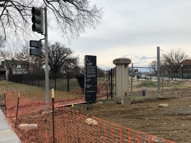
Location. 38° 50.654′ N, 76° 59.502′ W. Marker is in Southeast Washington in Washington, District of Columbia. It is in Congress Heights. Marker is at the intersection of Alabama Avenue Southeast and 11th Place Southeast, on the right when traveling west on Alabama Avenue Southeast. Touch for map. Marker is at or near this postal address: 1100 Alabama Avenue Southeast, Washington DC 20032, United States of America. Touch for directions.
Other nearby markers. At least 8 other markers are within walking distance of this marker. Congress Heights School (approx. 0.3 miles away); History of St. Elizabeths Hospital (approx. 0.6 miles away); Redevelopment of St. Elizabeths (approx. 0.6 miles away); St. Elizabeths Hospital (approx. 0.8 miles away); Activist Grove (1833-1845) (approx. 0.9 miles away); The Curative Powers of Nature (approx. 0.9 miles away); Original Federal Boundary Stone, District of Columbia, Southeast 6 (approx. 0.9 miles away in Maryland); Original Federal Boundary Stone, District of Columbia, Southeast 5 (approx. 0.9 miles away in Maryland). Touch for a list and map of all markers in Southeast Washington.
Regarding Welcome to St. Elizabeths East. The spelling of the campus is "St. Elizabeths", which abbreviates Saint as St. and does not include an apostrophe.
Credits. This page was last revised on January 30, 2023. It was originally submitted on January 27, 2019, by Devry Becker Jones of Washington, District of Columbia. This page has been viewed 115 times since then and 7 times this year. Photos: 1, 2. submitted on January 27, 2019, by Devry Becker Jones of Washington, District of Columbia. • Bill Pfingsten was the editor who published this page.

