Schuylerville in Saratoga County, New York — The American Northeast (Mid-Atlantic)
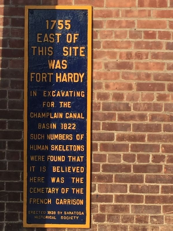
1755
Erected 1938 by Saratoga Historical Society.
Topics. This historical marker is listed in these topic lists: Cemeteries & Burial Sites • Forts and Castles • War, French and Indian. A significant historical year for this entry is 1822.
Location. 43° 5.988′ N, 73° 34.826′ W. Marker is in Schuylerville, New York, in Saratoga County. Marker is on New York State Route 29, on the left when traveling east. Touch for map. Marker is in this post office area: Schuylerville NY 12871, United States of America. Touch for directions.
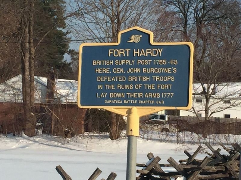
Other nearby markers. At least 8 other markers are within walking distance of this marker. First Bridge (within shouting distance of this marker); The Surrender Tree (about 400 feet away, measured in a direct line); British Army Grounded Arms (about 600 feet away); Fort Hardy (about 700 feet away); Articles of Convention (about 700 feet away); Earliest Cemetery (approx. 0.2 miles away); Unknown Soldier (approx. 0.2 miles away); Bullard Paper Company Chimney (approx. 0.2 miles away). Touch for a list and map of all markers in Schuylerville.
More about this marker. Unusual shape for a marker
Credits. This page was last revised on February 13, 2019. It was originally submitted on February 3, 2019, by Steve Stoessel of Niskayuna, New York. This page has been viewed 312 times since then and 14 times this year. Last updated on February 4, 2019, by Steve Stoessel of Niskayuna, New York. Photos: 1. submitted on February 3, 2019, by Steve Stoessel of Niskayuna, New York. 2, 3, 4. submitted on February 5, 2019, by Steve Stoessel of Niskayuna, New York. • Andrew Ruppenstein was the editor who published this page.


