Near Forks in Jefferson County, Washington — The American West (Northwest)
Hoh Indian Tribe
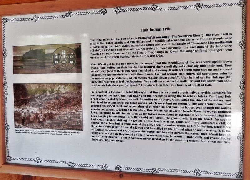
When K'wati got to the Hoh River he discovered that the inhabitants of the area were upside down people, who walked on their hands and handled their smelt dip nets clumsily with their feet. They weren't very good at it, so they were famished and skinny. K'wati set them right-side up and showed them how to operate their nets with their hands. For that reason, Hoh elders still sometimes refer to themselves as p'ip'isodat'sili, which means "Upside down people." After he had set the Hoh upright, then, the Transformer told the Ancestors, you shall use your feet to walk… Go and fish smelt. You shall catch much fish when you fish smelt." Ever since then there is a bounty of smelt at Hoh.
So important is the river in tribal lifeway's that there is also, not surprisingly, a mythic narrative for the origin of the river. The Hoh River and the headlands along the beaches (Toleak Point and Hoh Head) were created by K'wati, as well. According to the story, K'wati killed the chief of the wolves, and then tried to escape from the other wolves, which were bent on revenge. The wily Transformer had grabbed his carved comb and a container of oil when he fled from his house, even though the wolves were in hot pursuit. According to the story, then K'wati ran down the beach. Then the wolves followed K'wati intending to kill him. As soon as the wolves were about to overtake K'wati, he used what had been hanging in the house [i. e. the comb] and struck the ground with it on the beach. No sooner had K'wati finished striking the ground on the beach with his comb and there appeared a cliff. Of course, the wolves had to swim around the cliff. Then the wolves would be left far behind. Once more the wolves were about to overtake K'wati and he spilled on the ground what he was carrying [i. e. the oil], there appeared a river. Of course the wolves had to swim across the water. Then K'wati kept on going and as soon as they would be about to overtake him, he would… make cliffs and rivers. So, he went around the country and K'wati was never overtaken by the pursuing wolves. Ever since that time there are cliffs and rivers.
Erected
2015 by Association of Washington Generals, The Peterson Family, State of Washington, State of Alaska, and American Legion Post 106.
Topics. This historical marker is listed in these topic lists: Native Americans • Waterways & Vessels.
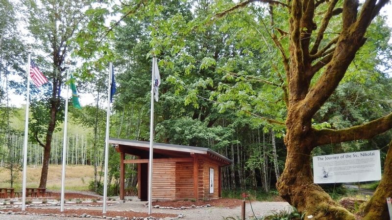
Location. 47° 49.021′ N, 124° 9.13′ W. Marker is near Forks, Washington, in Jefferson County. Marker can be reached from Upper Hoh Road, 0.1 miles east of Linder Creek Lane, on the left when traveling east. Marker is located in the "Journey of the Sv. Nikolai" interpretive kiosk, on the north side of Upper Hoh Road. Touch for map. Marker is at or near this postal address: 5833 Upper Hoh Road, Forks WA 98331, United States of America. Touch for directions.
Other nearby markers. At least 7 other markers are within 9 miles of this marker, measured as the crow flies. Makah Indian Tribe (here, next to this marker); Escape to the Hoh River Leads to Captivity (here, next to this marker); Anna Petrovna - Timothei Tarakanov (here, next to this marker); Fort Ross, California - Sitka Castle, Alaska - Fort Elisabeth, Kaua’i, Hawai’i (here, next to this marker); Sv. Nikolai Mission (here, next to this marker); Quileute Indian Tribe (here, next to this marker); Rain Forest Monarch (approx. 8.4 miles away).
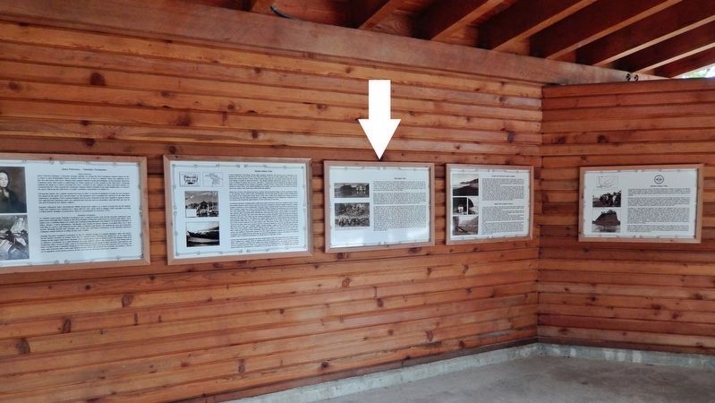
More about this marker. Marker is a framed interpretive panel mounted at eye-level
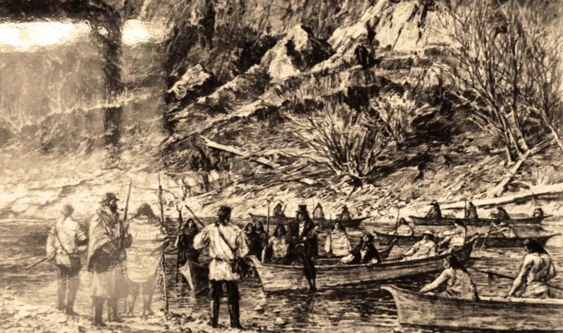
on the kiosk wall. This monument commemorates the 1808 expedition of the Russian American Company sailing vessel Sv. Nikolai and its crew of 22 explorers who were stranded when their 45-foot schooner went aground on the Pacific Coast north of the Quillayute River.
Related markers. Click here for a list of markers that are related to this marker. The Journey of the Sv. Nikolai
Also see . . . Hoh Indian Tribe of the Hoh Indian Reservation. The Hoh or Chalá·at are a Native American tribe in western Washington state in the United States. The tribe lives on the Pacific Coast of Washington on the Olympic Peninsula. The Hoh moved onto the Hoh Indian Reservation, at the mouth of the Hoh River, on the Pacific Coast of Jefferson County, after the signing of the Quinault Treaty on July 1, 1855. Though the Hoh (Chalá·at) are today considered to be a band of the Quileute tribe, the original Hoh language was actually the Quinault language and they were related to the Quinault. After intermarriage with the Quileute, the Hoh became a bilingual tribe, speaking both Quileute and Quinault, until the Quileute language was favored. (Submitted on February 6, 2019, by Cosmos Mariner of Cape Canaveral, Florida.)
Credits. This page was last revised on February 10, 2019. It was originally submitted on February 5, 2019, by Cosmos Mariner of Cape Canaveral, Florida. This page has been viewed 583 times since then and 84 times this year. Photos: 1, 2, 3, 4. submitted on February 6, 2019, by Cosmos Mariner of Cape Canaveral, Florida. • Bill Pfingsten was the editor who published this page.


