Southwest Federal Center in Southwest Washington in Washington, District of Columbia — The American Northeast (Mid-Atlantic)
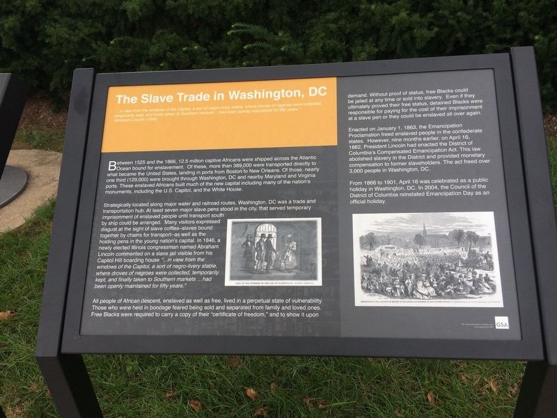
The Slave Trade in Washington, DC
"…in view from the windows of the Capitol, a sort of negro-livery stable, where droves of negroes were collected, temporarily kept, and finally taken to Southern markets …had been openly maintained for fifty years." Abraham Lincoln (1846)
Between 1525 and 1866, 12.5 million captive Africans were shipped across the Atlantic Ocean bound for enslavement. Of these, more than 389,000 were transported directly to what became the United States, landing in ports from Boston to New Orleans. Of those, nearly one third (129,000) were brought through Washington, DC and nearby Maryland and Virginia ports. These enslaved Africans built much of the new capital including many of the nation's monuments, including the U.S. Capitol, and the White House.
Strategically located along major water and railroad routes, Washington, DC was a trade and transportation hub. At least seven major slave pens stood in the city, that served temporary imprisonment of enslaved people until transport south by ship could be arranged. Many visitors expressed disgust at the sight of slave coffles -- slaves bound together by chains for transport -- as well as the holding pens n the young nation's capital. In 1846, a newly elected Illinois congressman named Abraham Lincoln commented on a slave jail visible from his Capitol Hill boarding house "…in view from the windows of the Capitol, a sort of negro-livery stable, where droves of negroes were collected, temporarily kept, finally taken to Southern markets …had been openly maintained for fifty years."
All people of African descent, enslaved as well as free, lived in a perpetual state of vulnerability. Those who were held in bondage feared being sold and separated from family and loved ones. Free Blacks were required to carry a copy of their "certificate of freedom," and to show it upon demand. Without proof of status, free Blacks could be jailed at any time or sold into slavery. Even if they ultimately proved their free status, detained Blacks were responsible for paying for the cost of their imprisonment at a slave pen or they could be enslaved all over again.
Enacted on January 1, 1863, the Emancipation Proclamation freed enslaved people in the confederate states. However, nine months earlier, on April 16, 1862, President Lincoln had enacted the District of Columbia's Compensated Emancipation Act. This law abolished slavery in the District and provided monetary compensation to former slaveholders. The act freed over 3,000 people in Washington, DC.
From 1866 to 1901, April 16 was celebrated as a public holiday in Washington, DC. In 2004, the Council of the District of Columbia reinstated Emancipation Day as an official holiday.
Erected by U.S. General Services Administration.
Topics and series. This historical marker is listed in these topic lists: Abolition & Underground RR • African Americans • War, US Civil. In addition, it is included in the Former U.S. Presidents: #16 Abraham Lincoln series list. A significant historical date for this entry is April 16, 1862.
Location. 38° 53.237′ N, 77° 1.339′ W. Marker is in Southwest Washington in Washington, District of Columbia. It is in Southwest Federal Center. Marker is on Independence Avenue Southwest west of 7th Street Southwest, on the right when traveling east. Touch for map. Marker is at or near this postal address: 800 Independence Avenue Southwest, Washington DC 20591, United States of America. Touch for directions.
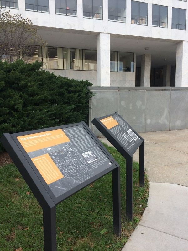
Other nearby markers. At least 8 other markers are within walking distance of this marker. The Williams Slave Pen (here, next to this marker); 320th Bomb Group (about 300 feet away, measured in a direct line); Pumpkin, 2016 (about 400 feet away); Double Candle, 2018 (about 400 feet away); First International Manned Space Mission (about 400 feet away); Earth Day Park (about 500 feet away); Uranus (about 500 feet away); Welcome to the Hirshhorn Museum's Plaza (about 500 feet away). Touch for a list and map of all markers in Southwest Washington.
Credits. This page was last revised on April 17, 2023. It was originally submitted on October 16, 2017. This page has been viewed 1,225 times since then and 98 times this year. Last updated on February 13, 2019. Photos: 1, 2. submitted on October 16, 2017. • Bill Pfingsten was the editor who published this page.

