Gettysburg in Adams County, Pennsylvania — The American Northeast (Mid-Atlantic)
Chambersburg Pike to the Lincoln Highway

Photographed By Devry Becker Jones (CC0), February 22, 2019
1. Chambersburg Pike to the Lincoln Highway Marker
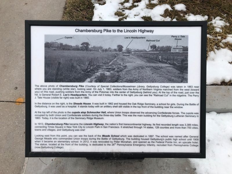
The above photo of Chambersburg Pike (Courtesy of Special Collections/Musselman Library, Gettysburg College) was taken in 1863 near where you are standing (white star), looking west. On July 1, 1863, soldiers from the Army of Northern Virginia marched from the west (toward you) on this road, pushing soldiers from the Army of the Potomac into the center of Gettysburg (behind you). At the top of the road, just over the hill, is General Robert E. Lee's Headquarters. You can visit it today. Farther to the right, you can see the "Railroad Cut" in the ridgeline. The Perry J. Tate House (visible far right) was built in 1860.
In the distance on the right is the Sheads House. It was built in 1862 and housed the Oak Ridge Seminary, a school for girls. During the Battle of Gettysburg, it was used as a hospital. It stands today with an artillery shell still visible in the top front of the building near the window.
At the top left of the photo is the cupola atop Schucker Hall, where Union troops observed the advancing Confederate forces. The cupola was occupied by both Union and Confederate soldiers during the three-day battle. This was the main building for the Gettysburg Lutheran Seminary in 1863. Today, it is the location of the Seminary Ridge Museum.
In 1913, Chambersburg Pike became the Lincoln Highway, the nation's first transcontinental highway. Its first recorded length was 3,389 miles, connecting Times Square in New York City to Lincoln Park in San Francisco. It stretched through 14 states, 128 counties and more than 700 cities, towns and villages, and Gettysburg was one!
Looking east from this point, you can see the back of the Meade School which was dedicated in 1897. The school was named after General George Meade who commanded Union troops during the Battle of Gettysburg. The building housed Gettysburg's public high school until 1909 when it became an elementary school. In 2012, it was renovated by Peter Monahan, and opened as the Federal Pointe Inn, an upscale hotel. The statue, located at the front of the building, is dedicated to the 26th Pennsylvania Emergency Infantry, recruited from Pennsylvania College (now Gettysburg College).
Topics. This historical marker is listed in these topic lists: Education • Roads & Vehicles • War, US Civil. A significant historical date for this entry is July 1, 1863.
Location. 39° 49.917′ N, 77° 14.327′ W. Marker is in Gettysburg, Pennsylvania, in Adams County. Marker is at the intersection of Lincoln Highway (U.S. 30) and Reynolds Street, on the right when traveling west on Lincoln Highway

Photographed By Devry Becker Jones (CC0), February 22, 2019
2. Chambersburg Pike to the Lincoln Highway Marker
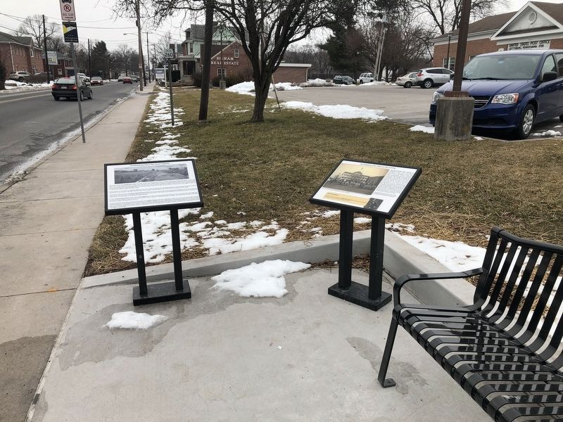
Other nearby markers. At least 8 other markers are within walking distance of this marker. The Gettysburg Post Office and the Civil War (here, next to this marker); 26th Pennsylvania Emergency Infantry (about 600 feet away, measured in a direct line); Round Top Branch of the Gettysburg & Harrisburg Railroad (approx. 0.2 miles away); Gettysburg Seminary (approx. 0.2 miles away); Stevens Run Environmental Stewardship (approx. 0.2 miles away); The Seminary Comes to Gettysburg (approx. 0.2 miles away); The Gauntlet of Union Retreat and Aftermath (approx. ¼ mile away); Miller Hall (approx. ¼ mile away). Touch for a list and map of all markers in Gettysburg.
Credits. This page was last revised on May 27, 2021. It was originally submitted on February 24, 2019, by Devry Becker Jones of Washington, District of Columbia. This page has been viewed 1,026 times since then and 147 times this year. Photos: 1, 2. submitted on February 24, 2019, by Devry Becker Jones of Washington, District of Columbia. • Bernard Fisher was the editor who published this page.