San Luis Potosí, Mexico — The Northeast (and Central Highlands)
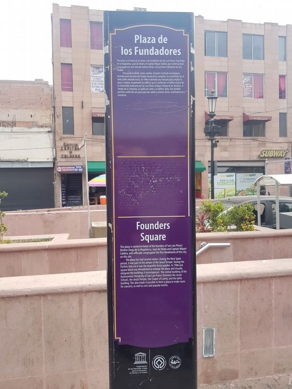
Founders Square
Esta plaza se llama así en honor a los fundadores de San Luis Potosí: Fray Diego de la Magdalena, Juan de Oñate y el Capitán Miguel Caldera, que fueron quienes congregaron en este sitio, de manera oficial, a los primeros habitantes de esta ciudad.
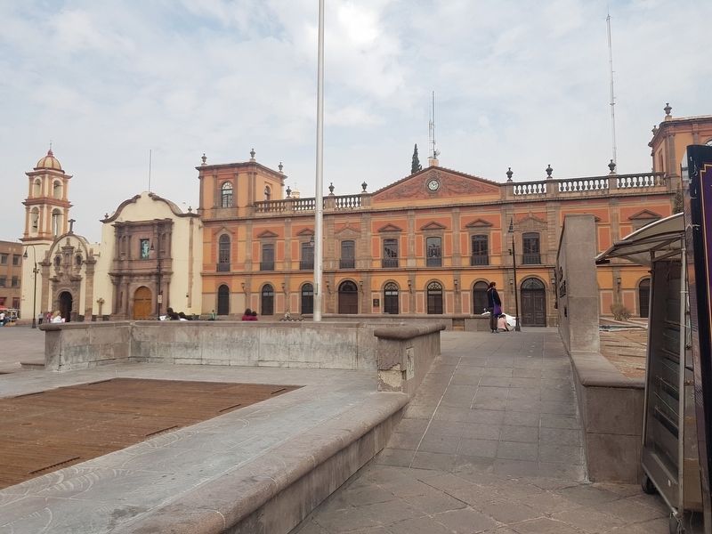
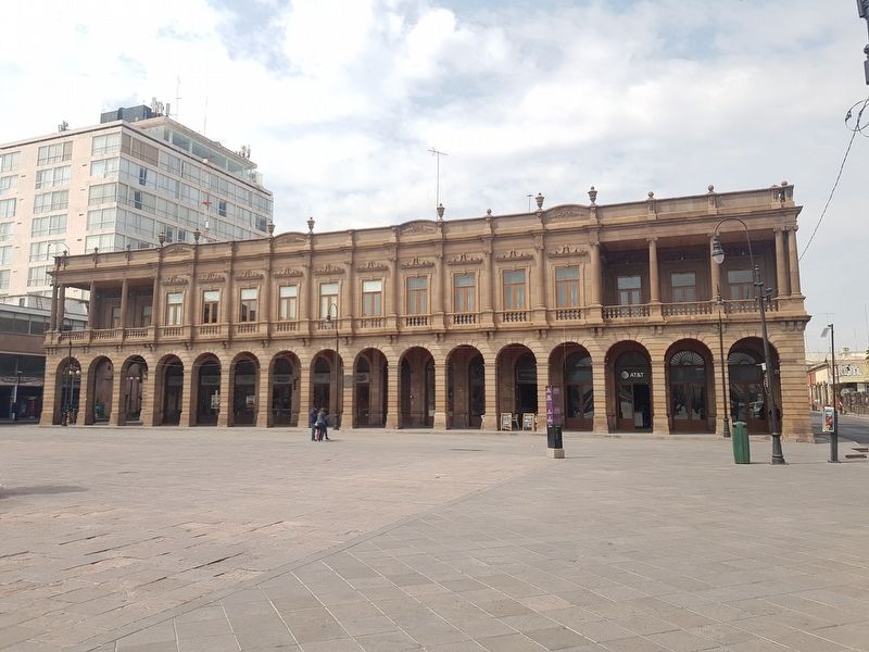
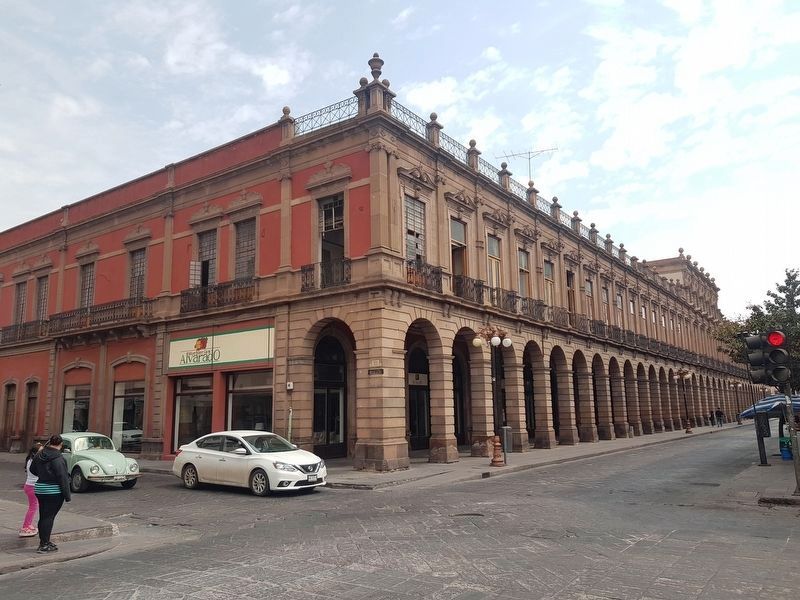
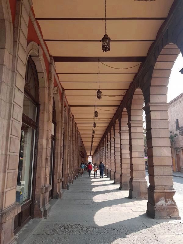
Esta plaza ha tenido varios cambios. Durante el periodo novohispano formaba parte del atrio del Templo Jesuita de la Compañia. En el porfiriato fue el bello jardín arbolado Arista. En 1966 se demolió una manzana para ampliar la plaza e integrar visualmente los edificios que la conforman: el edificio central de la Universidad Autónoma de San Luis Potosí (antiguo Colegio de los Jesuitas), el Templo de la Compañia, la Capilla de Loreto, y el edificio Ipiña. Esto también permitió conformar una plaza para dar cabida a eventos cívicos, multitudinarios y conciertos.
Founders Square
This plaza is named in honor of the founders of San Luis Potosí: Brother Diego de la Magdalena, Juan de Oñate and Captain Miguel Caldera, who officially congregated the first inhabitants of this city on this site.
The plaza has had several names. During the New Spain period, it was part of the atrium of the Jesuit Temple. During the Porfirio Díaz era it was the beautiful Arista garden. In 1966 one square block was demolished to enlarge the plaza and visually integrate the buildings it encompasses: the central building of the Autonomous University of San Luis Potosí (formerly the Jesuit School), the Jesuit Temple, the Chapel of Loreto, and the Ipiña building. This also made it possible to form a plaza to make room for concerts, as well as civic and popular events.
Erected by United Nations Educational, Scientific and Cultural Organization (UNESCO), Camino Real de Tierra Adentro.
Topics. This historical marker is listed in these topic lists: Colonial Era • Man-Made Features • Settlements & Settlers. A significant historical year for this entry is 1966.
Location. 22° 9.125′ N, 100° 58.667′ W. Marker is in San Luis Potosí. Marker is on Avenida Venustiano Carranza just west of Lic. José Ildefonso Díaz de León, on the left when traveling east. Touch for map. Marker is in this post office area: San Luis Potosí 78000, Mexico. Touch for directions.
Other nearby markers. At least 8 other markers are within walking distance of this marker. Capitán Miguel Caldera (a few steps from this marker); Former Othón Theater (within shouting distance of this marker); Loreto Chapel / Jesuit Temple / Former Jesuit Convent and School (within
shouting distance of this marker); Royal Treasury (about 90 meters away, measured in a direct line); Government Palace (about 120 meters away); Government Palace / Vicereine’s House (about 120 meters away); The Plan of San Luis (about 120 meters away); Nineteenth Century Building (about 120 meters away). Touch for a list and map of all markers in San Luis Potosí.
Photographed By J. Makali Bruton, March 17, 2019
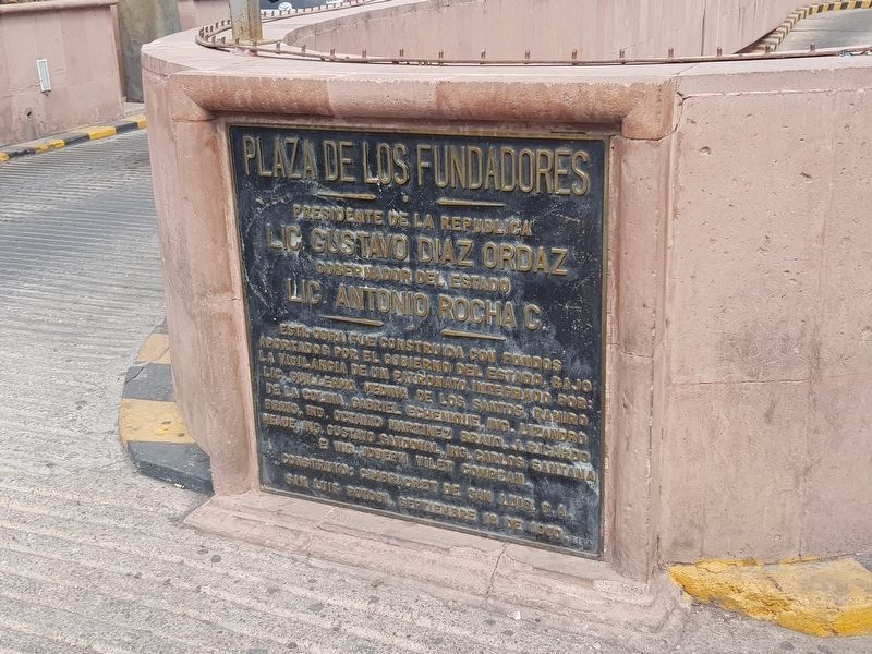
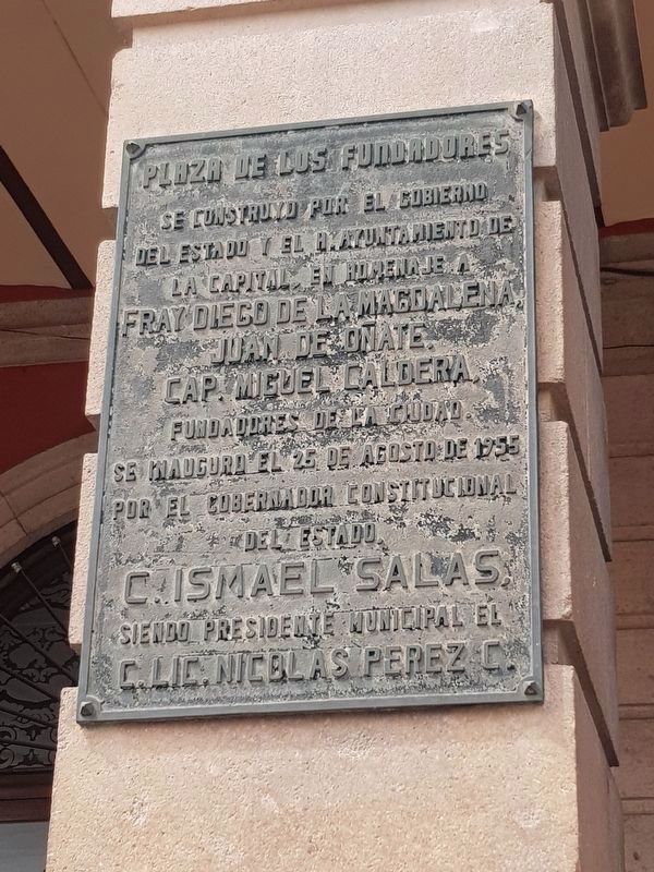
5. An additional Founders Square Marker
This additional marker from 1955 and is on the facade of the nearby Ipiña Building. It reads:
Plaza de los Fundadores
Se construyo por el Gobierno del Estado y el H. Ayuntamiento de la Capital, en homenaje a Fray Diego de la Magdalena, Juan de Oñate, Cap. Miguel Caldera, fundadores de la ciudad. Se inauguro el 25 de agosto de 1955 por el Gobernador Constitucional del Estado C. Ismael Salas, siendo Presidente Municipal el C. Lic. Nicolas Perez C.
Se construyo por el Gobierno del Estado y el H. Ayuntamiento de la Capital, en homenaje a Fray Diego de la Magdalena, Juan de Oñate, Cap. Miguel Caldera, fundadores de la ciudad. Se inauguro el 25 de agosto de 1955 por el Gobernador Constitucional del Estado C. Ismael Salas, siendo Presidente Municipal el C. Lic. Nicolas Perez C.
Credits. This page was last revised on April 16, 2019. It was originally submitted on April 16, 2019, by J. Makali Bruton of Accra, Ghana. This page has been viewed 92 times since then and 10 times this year. Photos: 1, 2, 3, 4, 5, 6, 7. submitted on April 16, 2019, by J. Makali Bruton of Accra, Ghana.
