Silver Grove in Campbell County, Kentucky — The American South (East South Central)
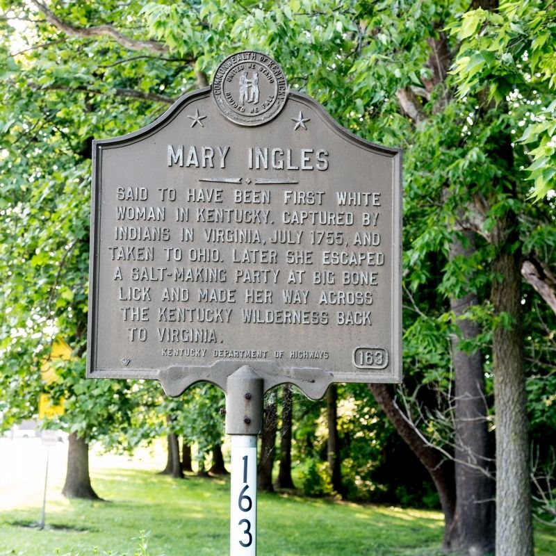
Mary Ingles
Erected 1963 by Kentucky Department of Highways. (Marker Number 163.)
Topics and series. This historical marker is listed in these topic lists: Native Americans • Settlements & Settlers • Women. In addition, it is included in the Kentucky Historical Society series list. A significant historical month for this entry is July 1755.
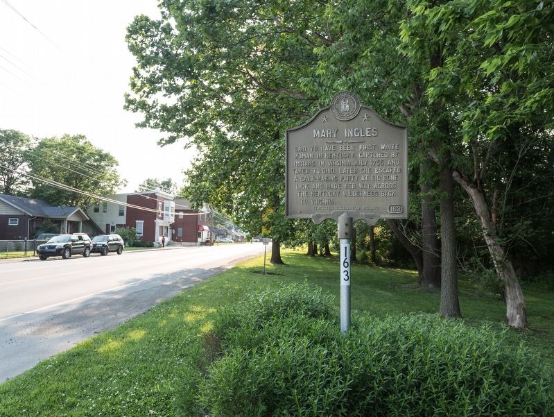
Location. 39° 2.222′ N, 84° 23.47′ W. Marker is in Silver Grove, Kentucky, in Campbell County. Marker is on Mary Ingles Highway (Kentucky Route 8) west of 4 Mile Road (Kentucky Route 547), on the left when traveling east. Touch for map. Marker is in this post office area: Silver Grove KY 41085, United States of America. Touch for directions.
Other nearby markers. At least 8 other markers are within 5 miles of this marker, measured as the crow flies. The Church / The Founder (approx. 2.7 miles away in Ohio); Samuel Woodfill (approx. 3.6 miles away); Ft. Thomas Army Post / Rock of Chickamauga (approx. 3.7 miles away); Fort Thomas Spanish-American War Memorial (approx. 3.7 miles away); Northern Kentucky University / Early Schoolhouse (approx. 3.9 miles away); The Clough Baptist Cemetery (approx. 4.1 miles away in Ohio); Garard / Martin Station, 1790 (approx. 4.1 miles away in Ohio); Beverly Hills Supper Club Fire (approx. 4.2 miles away).
Related markers. Click here for a list of markers that are related to this marker. These markers follow Mary Ingles from her capture to her return.
Also see . . . Wikipedia Entry for Mary Draper Ingles. “During their journey, they crossed at least 145 creeks and rivers—remarkable as neither woman could swim. On at least one occasion they ‘tied logs together with a grape-vine [and] made a raft’ to cross a major river. They may have traveled as much as 500 to 600 miles, averaging between eleven and twenty-one miles a day.” (Submitted on June 8, 2019.)
Credits. This page was last revised on August 11, 2019. It was originally submitted on June 8, 2019, by J. J. Prats of Powell, Ohio. This page has been viewed 755 times since then and 197 times this year. Photos: 1, 2. submitted on June 8, 2019, by J. J. Prats of Powell, Ohio.

