St. George's, Saint George, Grenada — Caribbean Region of the Americas (Lesser Antilles of the West Indies)
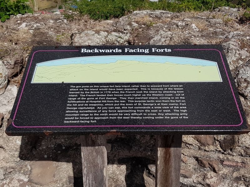
Backwards Facing Forts
Backwards Facing Forts
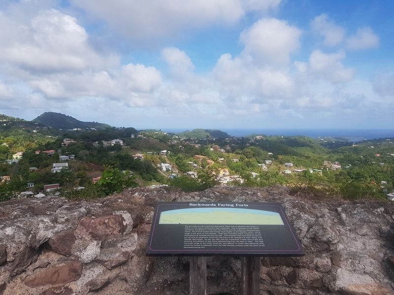
The gun ports on this unique fort face inland, rather than to seaward from where an attack on the island would have been expected. This is because of the lesson learned by the British in 1779 when the French took the island by attacking from inland. The French landed their forces much higher up the Western coast – out of the range of the guns at Fort George. They then marched inland, coming in on the fortifications at Hospital Hill from the rear. This surprise tactic won them the fort on the hill and its weaponry, which put the town of St. George’s at their mercy. Fort George capitulated. As you can see, this fort commands a wide view of the area allowing surveillance of any force approaching from the east or west. The high mountain range to the north would be very difficult to cross. Any attacking army would be forced to approach from the east thereby coming under the guns of the backward-facing fort.
Topics. This historical marker is listed in these topic lists: Colonial Era • Forts and Castles • Man-Made Features. A significant historical year for this entry is 1779.
Location. 12° 2.866′ N, 61° 44.229′ W. Marker is in St. George's, Saint George. Marker can be reached from Richmond Hill just north of Creighton, on the right when traveling north. Touch for map. Touch for directions.
Other nearby markers. At least 8 other markers are within 2 kilometers of this marker, measured as the crow flies. In the Bowels of the Fort (within shouting distance of this marker); Fort Frederick (within shouting distance of this marker); Port Louis (1650) (approx. one kilometer away); Marryshow House (approx. 1.4 kilometers away); Grenada Seamen and Waterfront Workers’ Union (approx. 1.5 kilometers away); Destruction of the Bianca C (approx. 1.5 kilometers away); St. George's Methodist Church (approx. 1.6 kilometers away); Grenada National Museum (approx. 1.7 kilometers away).
Credits. This page was last revised on June 12, 2019. It was originally submitted on June 12, 2019, by J. Makali Bruton of Accra, Ghana. This page has been viewed 200 times since then and 16 times this year. Photos: 1, 2, 3. submitted on June 12, 2019, by J. Makali Bruton of Accra, Ghana.


