Independence in Kenton County, Kentucky — The American South (East South Central)
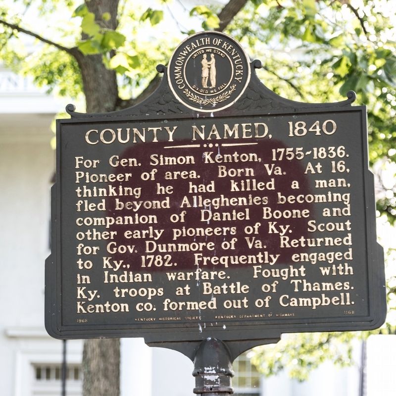
County Named, 1840
Erected 1968 by Kentucky Historical Society and Kentucky Department of Highways. (Marker Number 1168.)
Topics and series. This historical marker is listed in these topic lists: Colonial Era • Settlements & Settlers • Wars, US Indian. In addition, it is included in the Kentucky Historical Society series list. A significant historical year for this entry is 1840.
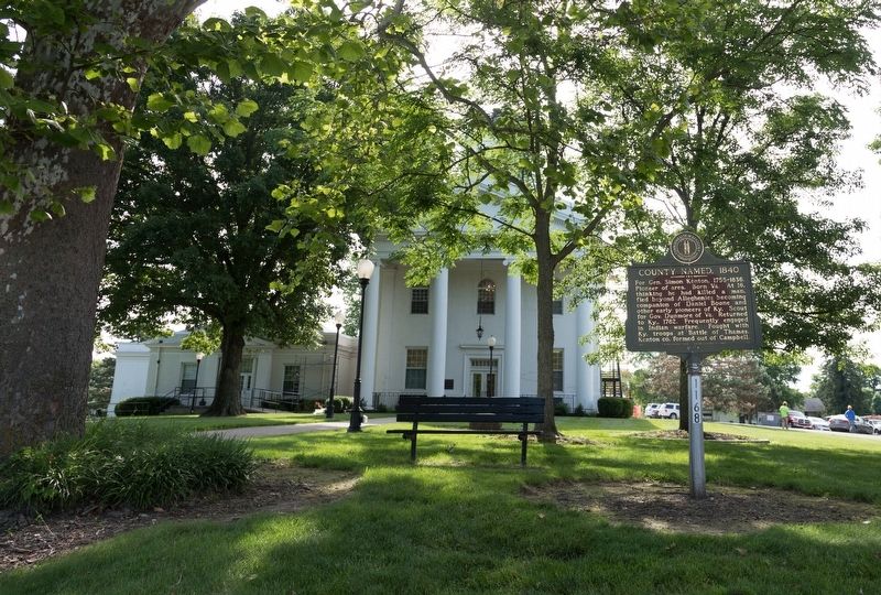
Location. 38° 56.578′ N, 84° 32.653′ W. Marker is in Independence, Kentucky, in Kenton County. Marker is on Madison Pike (Kentucky Route 17) south of McCullum Pike (Route 2045), on the right when traveling north. It is on the courthouse lawn. Touch for map. Marker is at or near this postal address: 5272 Madison Pike, Independence KY 41051, United States of America. Touch for directions.
Other nearby markers. At least 8 other markers are within 6 miles of this marker, measured as the crow flies. Kenton County War Memorial (within shouting distance of this marker); Ancient Civilizations (approx. 4.3 miles away); Skirmish at Snow’s Pond (approx. 4.7 miles away); Boone County, 1798 (approx. 4.8 miles away); 3-L (LLL) Highway (approx. 5.2 miles away); Timberlake (approx. 5.8 miles away); Skirmish at Florence (approx. 5.9 miles away); John Uri Lloyd (1849-1936) / Stringtown on the Pike (approx. 5.9 miles away).
Also see . . . Simon Kenton – Frontiersman and Soldier. 2017 article by Kathy Weiser-Alexander on LegendsOfAmerica.com. “He served in the War of 1812 as both a scout and as leader of a militia group in the Battle of the Thames in 1813. This was the battle in which the famous Indian chief Tecumseh was killed. Kenton was chosen to identify Tecumseh’s body but, recognizing both Tecumseh and another fallen warrior named Roundhead, and seeing soldiers gleefully eager to carve up Tecumseh’s body into souvenirs, he identified Roundhead as the chief.” (Submitted on July 1, 2019.)
Credits. This page was last revised on July 1, 2019. It was originally submitted on July 1, 2019, by J. J. Prats of Powell, Ohio. This page has been viewed 261 times since then and 15 times this year. Photos: 1, 2. submitted on July 1, 2019, by J. J. Prats of Powell, Ohio.

