South Village in Manhattan in New York County, New York — The American Northeast (Mid-Atlantic)
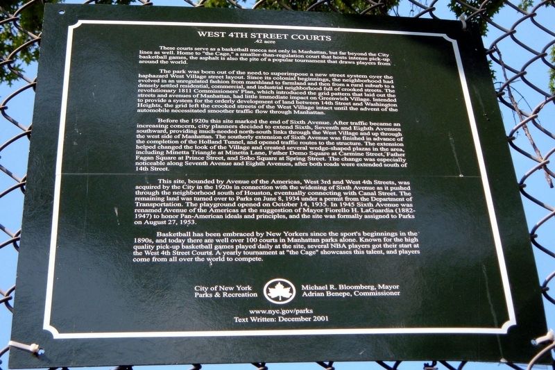
West 4th Street Courts
.42 acres
The park was born out of the need to superimpose a new street system over the haphazard West Village street layout. Since its colonial beginnings, the neighborhood had evolved in an unregulated fashion from marshland to farmland and then from a rural suburb to a densely settled residential, commercial, and industrial neighborhood full of crooked streets. The revolutionary 1811 Commissioners’ Plan, which introduced the grid pattern that laid out the streets and avenues of Manhattan, had little immediate impact on Greenwich Village. Intended to provide a system for the orderly development of land between 14th Street and Washington Heights, the grid left the crooked streets of the West Village intact until the advent of the automobile necessitated smoother traffic flow through Manhattan.
Before the 1920s this site marked the end of Sixth Avenue. After traffic became an increasing concern, city planners decided to extend Sixth, Seventh and Eighth Avenues southward, providing much-needed north-south links through the West Village and up through the west side of Manhattan. The southerly extension of Sixth Avenue was finished in advance of the completion of the Holland Tunnel, and opened traffic routes to the structure. The extension helped changed the look of the Village and created several wedge-shaped plazas in the area, including Minetta Triangle at Minetta Lane, Father Demo Square at Carmine Street, Father Fagan Square at Prince Street, and Soho Square at Spring Street. The change was especially noticeable along Seventh Avenue and Eighth Avenues, after both roads were extended south of 14th Street.
This site, bounded by Avenue of the Americas, West 3rd and West 4th Streets, was acquired by the City in the 1920s in connection with the widening of Sixth Avenue as it pushed through the neighborhood south of Houston, eventually connecting with Canal Street. The remaining land was turned over to Parks on June 8, 1934 under a permit from the Department of Transportation. The playground opened on October 14, 1935. In 1945 Sixth Avenue was renamed Avenue of the Americas at the suggestion of Mayor Fiorello H. LaGuardia (1882–1947) to honor Pan-American ideals and principles, and the site was formally assigned to Parks on August 27, 1953.
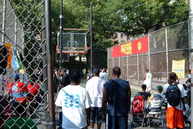
Basketball has been embraced by New Yorkers since the sport’s beginnings in the 1890s, and today there are well over 100 courts in Manhattan parks alone. Known for the high quality pick-up basketball games played daily at the site, several NBA players got their start at the West 4th Street Courts. A yearly tournament at “the Cage” showcases this talent, and players come from all over the world to compete.
City of New York Parks and Recreation
Michael R. Bloomberg, Mayor
Adrian Benepe, Commissioner
Text written: December 2001
Erected 2001 by City of New York Parks and Recreatio.
Topics. This historical marker is listed in these topic lists: Parks & Recreational Areas • Roads & Vehicles • Sports. A significant historical date for this entry is June 8, 1934.
Location. Marker has been reported missing. It was located near 40° 43.865′ N, 74° 0.055′ W. Marker was in Manhattan, New York, in New York County. It was in South Village. Marker was on Sixth Avenue near West 4th Street, on the right when traveling north. Touch for map. Marker was at or near this postal address: West 4th Street Courts, New York NY 10012, United States of America. Touch for directions.
Other nearby markers. At least 8 other markers are within walking distance of this location. The Golden Swan (within shouting distance of this marker); Mascha Kaleko (about 300 feet away, measured in a direct line); Willa Cather and Richard Wright (about 400 feet away); 80 Washington Place (about 400 feet away); Father Demo Square (about 500 feet away); St. Joseph’s Church (about 600 feet away); Site of the San Remo Café (1925 - 1967) (about 600 feet away); Eleanor Roosevelt (about 700 feet away). Touch for a list and map of all markers in Manhattan.
Also see . . . Official NYC parks site. (Submitted on September 8, 2019, by Larry Gertner of New York, New York.)
Credits. This page was last revised on June 19, 2023. It was originally submitted on September 7, 2019, by Larry Gertner of New York, New York. This page has been viewed 135 times since then and 17 times this year. Photos: 1, 2. submitted on September 7, 2019, by Larry Gertner of New York, New York. • Andrew Ruppenstein was the editor who published this page.

