Cumberland in Allegany County, Maryland — The American Northeast (Mid-Atlantic)
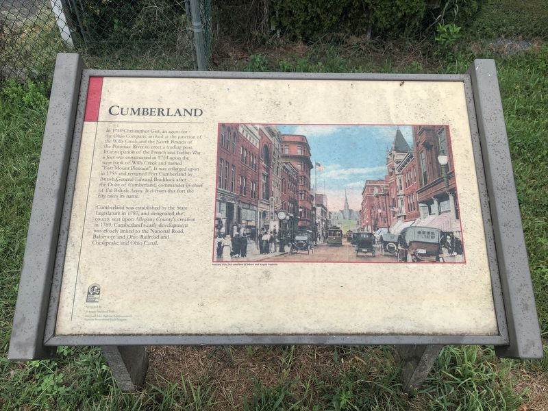
Cumberland
In 1749 Christopher Gist, an agent for the Ohio Company, arrived at the junction of the Wills Creek and the North Branch of the Potomac River to erect a trading post. In anticipation of the French and Indian War a fort was constructed in 1754 upon the west bank of the Wills Creek and named "Fort Mount Pleasant". It was enlarged upon in 1755 and renamed Fort Cumberland by British General Edward Braddock after the Duke of Cumberland, commander-in-chief of the British Army. It is from this fort the city takes its name.
Cumberland was established by the State Legislature in 1787, and designated the county seat upon Allegany County's creation in 1789. Cumberland's early development was closely linked to the National Road, Baltimore and Ohio Railroad and Chesapeake and Ohio Canal.
Erected by Mountain Maryland Trails; Maryland State Highway Administration's National Recreational Trails Program.
Topics and series. This historical marker is listed in these topic lists: Colonial Era • Forts and Castles • Settlements & Settlers • War, French and Indian. In addition, it is included in the Baltimore and Ohio Railroad (B&O), the Braddock’s Road and Maj. Gen. Edward Braddock, the Chesapeake and Ohio (C&O) Canal, and the The Historic National Road series lists. A significant historical year for this entry is 1749.
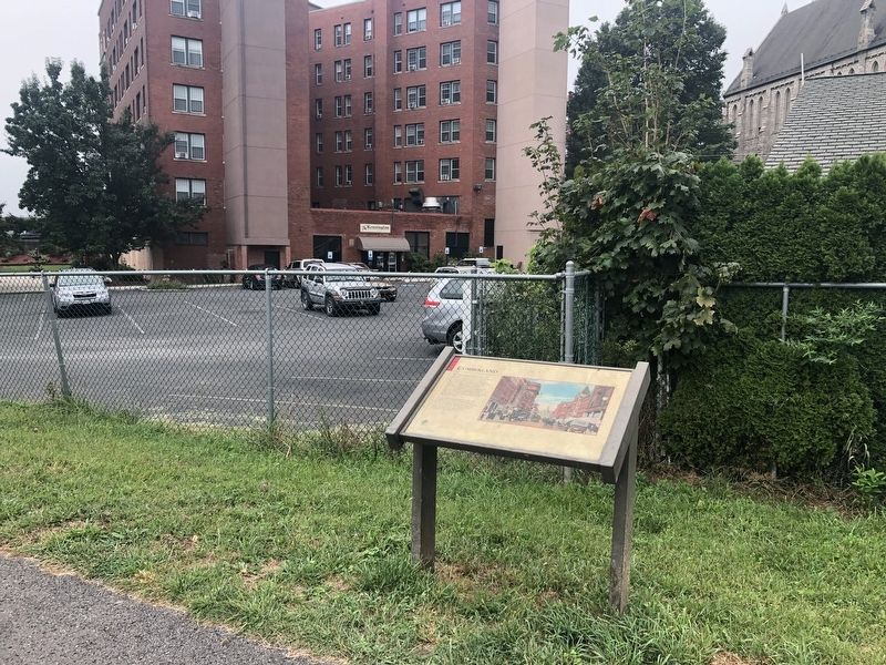
Location. 39° 39.1′ N, 78° 45.871′ W. Marker is in Cumberland, Maryland, in Allegany County. Marker is on Great Allegheny Passage, 0.1 miles north of Baltimore Street, on the left when traveling north. Touch for map. Marker is at or near this postal address: 322 Bow Street, Cumberland MD 21502, United States of America. Touch for directions.
Other nearby markers. At least 8 other markers are within walking distance of this marker. Algonquian Hotel (within shouting distance of this marker); a different marker also named Cumberland (about 300 feet away, measured in a direct line); This Tablet Marks the Site of Old Fort Cumberland (about 300 feet away); Site of Fort Cumberland (about 300 feet away); Ohio Co. and Fort Cumberland (about 300 feet away); Baltimore Street Bridge (about 300 feet away); Alteration of the Site (about 300 feet away); The Narrows (about 400 feet away). Touch for a list and map of all markers in Cumberland.
Credits. This page was last revised on December 9, 2021. It was originally submitted on September 7, 2019, by Devry Becker Jones of Washington, District of Columbia. This page has been viewed 368 times since then and 31 times this year. Photos: 1, 2. submitted on September 7, 2019, by Devry Becker Jones of Washington, District of Columbia.

