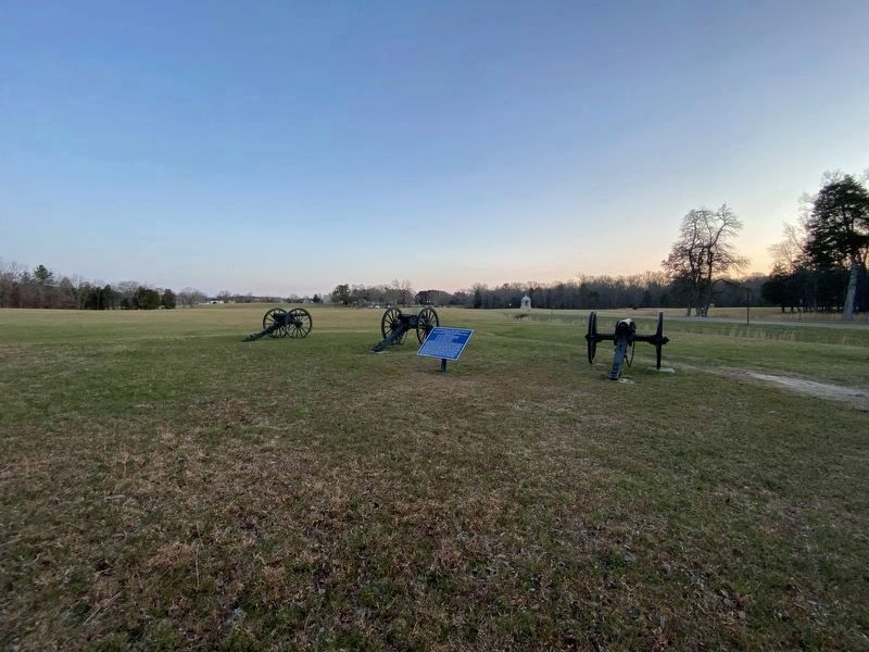
Fort Oglethorpe in Catoosa County, Georgia — The American South (South Atlantic)
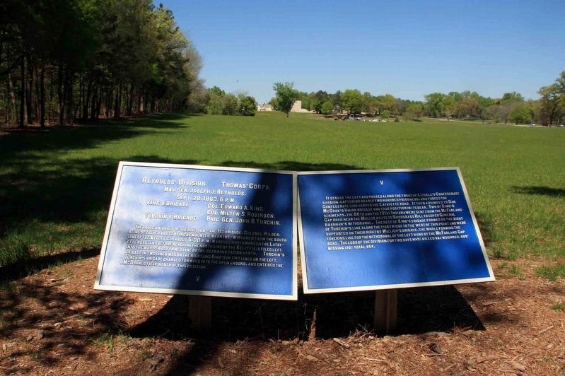
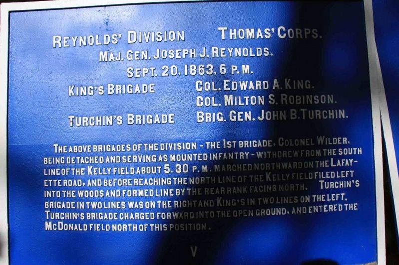
Reynolds' Division
Thomas’ Corps.
— Major General Joseph J. Reynolds —
Inscription.
Maj. Gen. Joseph J. Reynolds.
Sept. 20, 1863, 6 P.M.
King’s Brigade Col. Edward A. King.
Col. Milton S. Robinson.
Turchin’s Brigade Brig. Gen. John B. Turchin
The above brigades of the division – the 1st brigade, Colonel Wilder, being detached and serving as mounted infantry – withdrew from the South line of the Kelly field about 5:30 P.M. Marched northward on the Lafayette road, and before reaching the North line of the Kelly field filed left into the woods formed line by the rear rank facing north. Turchin’s brigade in two lines was on the right in King’s in two lines on the left. Turchin’s brigade charged forward into the open ground, and entered the McDonald field north of this position.
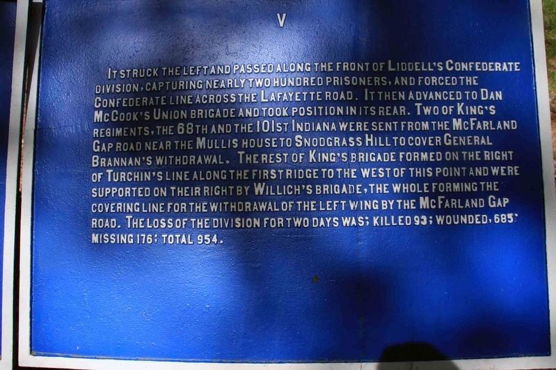
It struck the left and passed along the front of Liddell’s Confederate division, capturing nearly two hundred prisoners, and forced the Confederate line across the Lafayette road. It then advanced to Dan McCook’s Union brigade and took position in its rear. Two of Kings Regiments, the 68th and the 101st Indiana were sent from the McFarland gap road near the Mullis house to Snodgrass Hill to cover General Brannan’s withdrawal. The rest of King’s brigade formed on the right of Turchin’s line along the first ridge to the West of this point and were supported on their right by Willich’s brigade, the whole forming the covering line for the withdrawal of the left wing by the McFarland Gap road. The loss of the division for two days was; killed 93; wounded, 685; missing 176; total 954.
Erected 1890 by War Department. (Marker Number MT-524.)
Topics. This historical marker is listed in these topic lists: Parks & Recreational Areas • War, US Civil. A significant historical date for this entry is September 20, 1863.
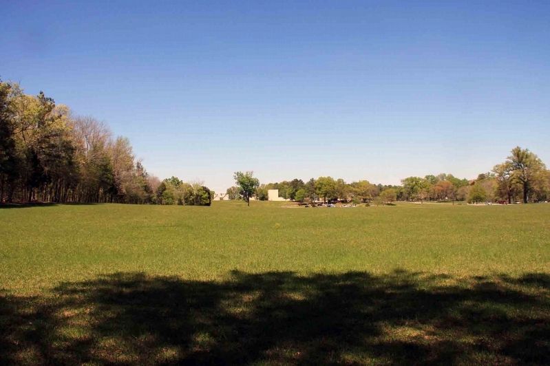
Location. 34° 56.167′ N, 85° 15.683′ W. Marker is in Fort Oglethorpe, Georgia, in Catoosa County. Marker is at the intersection of Vittetoe Roads and LaFayette Road, on the left when traveling north on Vittetoe Roads. This tablet is located in the national park that preserves the site of the Chickamauga Battlefield. The marker is at the intersection of the Layayette and Vittetoe Roads. Layayette Road is heavily traveled. It is much safer to park on the side of Vittetoe Rd. From Vittetoe Road (parking) proceed west along the edge of the field. Touch for map. Marker is in this post office area: Fort Oglethorpe GA 30742, United States of America. Touch for directions.
Other nearby markers. At least 8 other markers are within walking distance of this marker. Bridges' Illinois Battery, Light Artillery (about 500 feet away, measured in a direct line); Helm's Brigade (about 500 feet away); Bridge's Illinois Battery-Light Artillery
(about 500 feet away); 88th Indiana Infantry (about 600 feet away); To The Left of the Union Line (about 600 feet away); Kentucky State Memorial (about 600 feet away); Negley's Division (about 700 feet away); Withdrawal of the Union Left (about 700 feet away). Touch for a list and map of all markers in Fort Oglethorpe.
More about this marker. The plaques on the Chickamauga Battlefield were installed by the War Department in 1890. This plaque is blue indicating it is for a Federal unit. Plaques are listed in the NPS List of Classified Structures as a batch input, Structure Number HS-Batch-3.
In locating this marker I used the "Chickamauga Battlefield" map, that I purchased at the Chickamauga and Chattanooga National Military Park, Visitor Center, to determine both the marker number for this marker and the marker's location in relation to the rest of the park's monuments, markers, and tablets. According to the map it provides the, "numerical listing of all monuments, markers, and tablets on the Chickamauga Battlefield (using the Chick-Chatt NMP Monument Numbering System).
Related markers.
Click here for a list of markers that are related to this marker. Use this link to see the Brigade tablets for this Division.
Also see . . .
1. Death Knell of the Confederacy. Link to the Chickamauga and Chattanooga National Military Park web site. (Submitted on September 7, 2019, by Byron Hooks of Sandy Springs, Georgia.)
2. Battle of Chickamauga. Overview of the Battle of Chickamauga provided by the American Battlefield Trust. (Submitted on September 7, 2019, by Byron Hooks of Sandy Springs, Georgia.)
Credits. This page was last revised on April 4, 2022. It was originally submitted on September 7, 2019, by Byron Hooks of Sandy Springs, Georgia. This page has been viewed 193 times since then and 13 times this year. Last updated on March 10, 2022, by Vince Jackson of Toano, Virginia. Photos: 1, 2, 3, 4. submitted on September 7, 2019, by Byron Hooks of Sandy Springs, Georgia. 5. submitted on March 27, 2022, by Darren Jefferson Clay of Duluth, Georgia. • Bernard Fisher was the editor who published this page.
