Near Hagerman in Gooding County, Idaho — The American West (Mountains)
Ancient Lakes
Inscription.
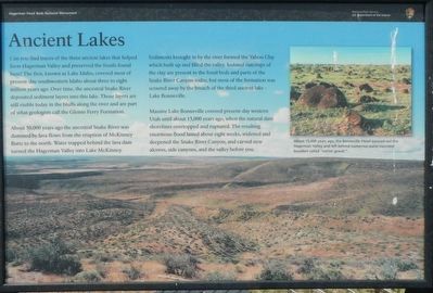
Can you find traces of the three ancient lakes that helped form Hagerman Valley and preserved the fossils found here? The first, known as Lake Idaho, covered most of present-day southwestern Idaho about three to eight million years ago. Over time, the ancestral Snake River deposited sediment layers into this lake. Those layers are still visible today in the bluffs along the river and are part of geologist call the Glenns Ferry Formation.
About 50,000 years ago the ancestral Snake River was dammed by lava flows from the eruption of McKinney Butte to the north. Water trapped behind the lava dam turned the Hagerman Valley into Lake McKinney. Sediments brought in by the river formed the Yahoo Clay which built up and filled the valley. Isolated outcrops of the clay are present in the fossil beds and parts of the Snake River Canyon today, but most of the formation was scoured away by the breach of the third ancient lake - Lake Bonneville.
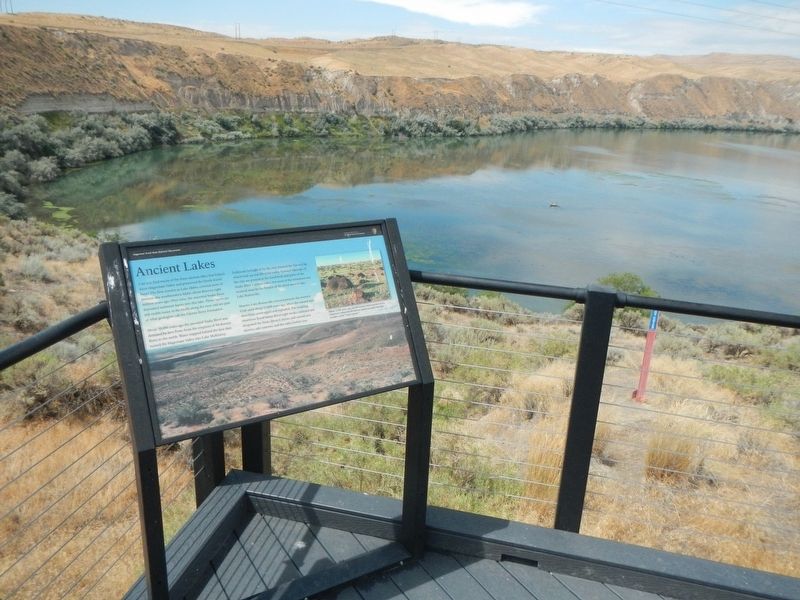
Massive Lake Bonneville covered present-day western Utah until about 15,000 years ago, when the natural dam shorelines overtopped and ruptured. The resulting enormous flood lasted about eight weeks, widened and deepened the Snake River Canyon, and carved new alcoves, side canyons, and the valley before you.
Erected by Hagerman Fossil Beds National Monument, National Park Service, U.S. Department of the Interior.
Topics. This historical marker is listed in these topic lists: Natural Features • Notable Events.
Location. 42° 45.786′ N, 114° 55.346′ W. Marker is near Hagerman, Idaho, in Gooding County. Marker can be reached from Bell Rapids Road near Upper Salmon Falls Road, on the right when traveling west. Touch for map. Marker is in this post office area: Hagerman ID 83332, United States of America. Touch for directions.
Other nearby markers. At least 8 other markers are within 2 miles of this marker, measured as the crow flies. A Changing Climate (here, next to this marker); Sediments and Fossils (here, next to this marker); Where are the Fossils? (within shouting distance of this marker); "The People" (within shouting distance of this marker); Right Beneath Your Feet (approx. 1.8 miles away); Volcanoes Along the Snake (approx. 1.9 miles away); Manifest Destiny (approx. 1.9 miles away); The Great Westward Migration (approx. 2 miles away). Touch for a list and map of all markers in Hagerman.
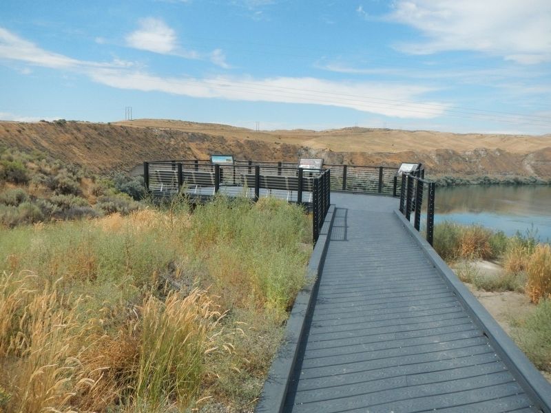
More about this marker. This marker is located at Snake River Overlook in Hagerman Fossil Beds National Monument.
Credits. This page was last revised on September 14, 2019. It was originally submitted on September 14, 2019, by Barry Swackhamer of Brentwood, California. This page has been viewed 1,043 times since then and 155 times this year. Photos: 1, 2, 3. submitted on September 14, 2019, by Barry Swackhamer of Brentwood, California.


