Near Cuba in Crawford County, Missouri — The American Midwest (Upper Plains)
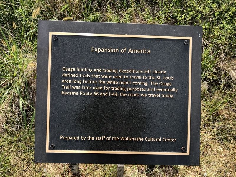
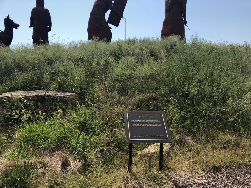
Expansion of America
Erected by The Staff of the Wahzhazhe Cultural Center.
Topics. This historical marker is listed in these topic lists: Native Americans • Roads & Vehicles.
Location. 38° 4.453′ N, 91° 24.392′ W. Marker is near Cuba, Missouri, in Crawford County. Marker can be reached from State Highway P, 0.1 miles east of State Highway 19, on the right when traveling east. Touch for map. Marker is at or near this postal address: 71 Highway P, Cuba MO 65453, United States of America. Touch for directions.
Other nearby markers. At least 8 other markers are within walking distance of this marker. The Beginning (a few steps from this marker); A Time of Sadness (within shouting distance of this marker); The Osage Trail (within shouting distance of this marker); Today's Warriors (within shouting distance of this marker); Veterans Memorial (approx. ¾ mile away); The River (approx. ¾ mile away); St Louis, Salem & Little Rock Railroad (approx. 0.8 miles away); Amelia (approx. 0.8 miles away). Touch for a list and map of all markers in Cuba.
Credits. This page was last revised on March 3, 2023. It was originally submitted on September 18, 2019, by Devry Becker Jones of Washington, District of Columbia. This page has been viewed 143 times since then and 12 times this year. Photos: 1, 2. submitted on September 18, 2019, by Devry Becker Jones of Washington, District of Columbia.

