Franklin in Williamson County, Tennessee — The American South (East South Central)
The Carter Farm
The Breakthrough
— Tennessee Civil War National Heritage Area —
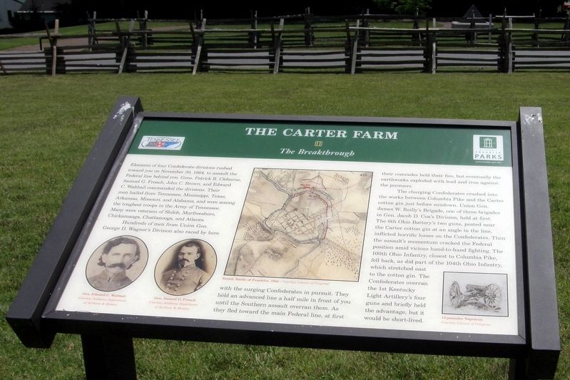
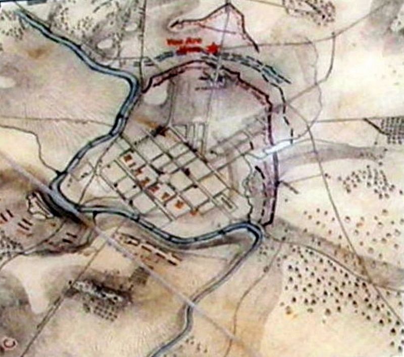
Hundreds of men from Union Gen. George D. Wagner’s Division also raced by here with the surging Confederates in pursuit. They held an advanced line a half mile in front of you until the Southern assault overran them. As they fled toward the main Federal line, at first their comrades held their fire, but eventually the earthworks exploded with lead and iron against the pursuers.
The charging Confederates crashed into the works between Columbia Pike and the Carter cotton gin just before sundown. Union Gen. James W. Reilly’s Brigade, one of three brigades in Gen. Jacob D. Cox’s Division, held at first. The 6th Ohio Battery’s two guns, posted near the Carter cotton gin at an angle in the line, inflicted horrific losses on the Confederates. Then the assault’s momentum cracked the Federal position amid vicious hand-to-hand fighting. The 100th Ohio Infantry, closest to the Columbia Pike, fell back, as did part of the 104th Ohio Infantry, which stretched east to the cotton gin. The Confederates overran the 1st Kentucky Light Artillery’s four guns and briefly held the advantage, but it would be short-lived.
Erected by Historic Franklin Parks.
Topics. This historical marker is listed in this topic list: War, US Civil. A significant historical date for this entry is November 30, 1864.
Location. 35° 54.933′ N, 86° 52.386′ W. Marker is in Franklin, Tennessee, in Williamson County. Marker can be reached from Columbia Avenue (Business U.S. 31) north of Cleburne Street, on the right when traveling north. Located at Cotton Gin Site and Park. Touch for map. Marker is in this post office area: Franklin TN 37064, United States of America. Touch for directions.
Other nearby markers. At least 8 other markers are within walking distance of this marker. A different marker also named The Carter Farm (a few steps from this marker); a different marker also named The Carter Farm (within shouting distance of this marker); a different marker also named The Carter Farm (within shouting distance of this marker); a different marker also named The Carter Farm (within shouting distance of this marker); a different marker also named The Carter Farm (within shouting distance of this marker); a different marker also named The Carter Farm (within shouting distance of this marker); a different marker also named The Carter Farm (within shouting distance of this marker); Main Entrenchment Federal Battle Line (within shouting distance of this marker). Touch for a list and map of all markers in Franklin.
Credits. This page was last revised on July 27, 2022. It was originally submitted on September 24, 2019, by Larry Gertner of New York, New York. This page has been viewed 192 times since then and 20 times this year. Last updated on January 7, 2022, by Bradley Owen of Morgantown, West Virginia. Photos: 1, 2, 3, 4, 5, 6. submitted on September 24, 2019, by Larry Gertner of New York, New York. • J. Makali Bruton was the editor who published this page.
